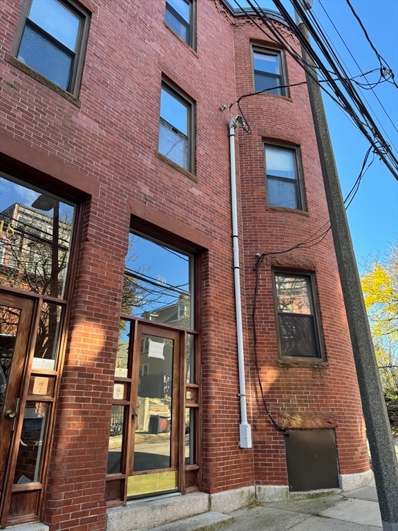


20 Linwood St Unit 1 Roxbury, MA 02119
Fort Hill NeighborhoodHighlights
- Medical Services
- Property is near public transit
- No HOA
- 99,999 Sq Ft lot
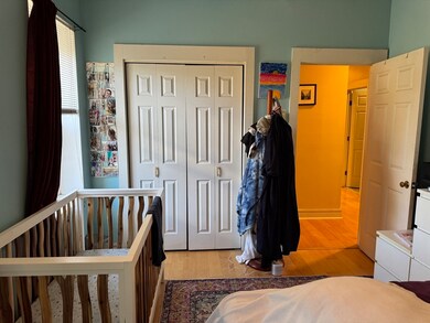
- Main Floor Primary Bedroom
- 1-minute walk to Alvah Kittredge Park
About This Home
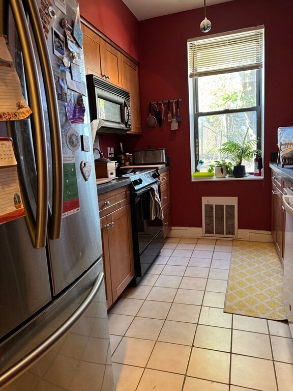
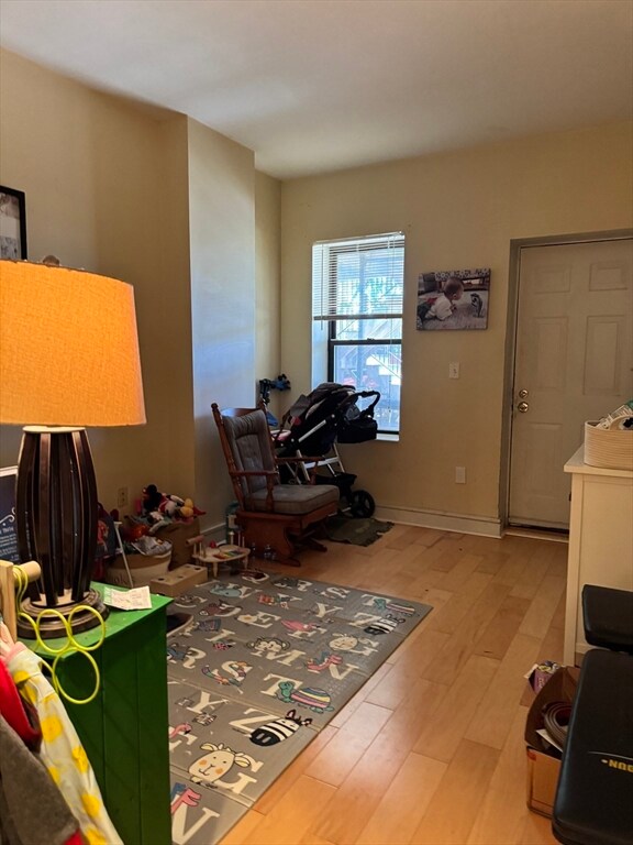
JANUARY 1 MOVE IN. Spacious two bedrooms in the heart of Fort Hill. Kitchen features stainless steel appliances. Ample storage space. Washer and dryer in the unit. Sunny, living room and dinning room. Initial lease to end 08.31.26. Outstanding credit a must.
Property Details
Home Type
- Multi-Family
Est. Annual Taxes
- $4,470
Year Built
- Built in 1920
Lot Details
- 2.3 Acre Lot
Home Design
- 1,000 Sq Ft Home
- Property Attached
- Entry on the 1st floor
Kitchen
- Range
- Microwave
- Freezer
- Dishwasher
Bedrooms and Bathrooms
- 2 Bedrooms
- Primary Bedroom on Main
- 1 Full Bathroom
Laundry
- Laundry on main level
- Dryer
- Washer
Location
- Property is near public transit
- Property is near schools
Utilities
- No Cooling
- Heating System Uses Natural Gas
Listing and Financial Details
- Security Deposit $2,800
- Property Available on 1/1/26
- Rent includes water, sewer
- Assessor Parcel Number 3393902
Community Details
Overview
- No Home Owners Association
- Near Conservation Area
Amenities
- Medical Services
- Shops
- Coin Laundry
Recreation
- Park
- Jogging Path
- Bike Trail
Pet Policy
- No Pets Allowed
Map
Source: MLS Property Information Network (MLS PIN)
MLS Number: 73455252
APN: ROXB-000000-000011-000089-000020
Disclaimer: Certain information contained herein is derived from information provided by parties other than Homes.com. All information provided is deemed reliable, but is not guaranteed to be accurate and should be independently verified.
![]() The property listing data and information, or the Images, set forth herein were provided to MLS Property Information Network, Inc. from third party sources, including sellers, lessors and public records, and were compiled by MLS Property Information Network, Inc. The property listing data and information, and the Images, are for the personal, non-commercial use of consumers having a good faith interest in purchasing or leasing listed properties of the type displayed to them and may not be used for any purpose other than to identify prospective properties which such consumers may have a good faith interest in purchasing or leasing. MLS Property Information Network, Inc. and its subscribers disclaim any and all representations and warranties as to the accuracy of the property listing data and information, or as to the accuracy of any of the Images, set forth herein.
The property listing data and information, or the Images, set forth herein were provided to MLS Property Information Network, Inc. from third party sources, including sellers, lessors and public records, and were compiled by MLS Property Information Network, Inc. The property listing data and information, and the Images, are for the personal, non-commercial use of consumers having a good faith interest in purchasing or leasing listed properties of the type displayed to them and may not be used for any purpose other than to identify prospective properties which such consumers may have a good faith interest in purchasing or leasing. MLS Property Information Network, Inc. and its subscribers disclaim any and all representations and warranties as to the accuracy of the property listing data and information, or as to the accuracy of any of the Images, set forth herein.
- 10 Linwood St
- 31 Dorr St
- 59 Fort Ave
- 49 Norfolk St
- 249 Roxbury St Unit 1
- 1 Centre Street Terrace Unit 7
- 4 Fort Ave Unit 2
- 27 Dudley St
- 51 Beech Glen St Unit 3
- 38 Juniper St
- 63 Beech Glen St
- 743 Parker St Unit 3
- 9 W Cedar St Unit 1
- 6 Fisher Ave
- 22 Fisher Ave
- 51 Saint James St
- 9-45 Vale St
- 64 Alpine St Unit 104
- 64 Alpine St Unit 304
- 37 Regent St Unit 2
- 103 Cedar St Unit 2
- 22 Highland Ave Unit 2
- 127 Cedar St
- 127 Cedar St Unit 1
- 127 Cedar St Unit 3
- 129 Cedar St Unit 1
- 129 Cedar St
- 129 Cedar St Unit 3
- 6 Alvah Kittredge Park Unit 3
- 5 Millmont St Unit 3
- 135 Cedar St Unit 135Cedar
- 8 Alvah Kittredge Park Unit 1
- 126 Cedar St Unit 1
- 21 Dorr St Unit C
- 89 Cedar St
- 89 Cedar St Unit 2
- 26 Dorr St Unit 26
