20 Lunt Rd Moultonborough, NH 03254
Estimated Value: $352,261 - $2,936,000
3
Beds
2
Baths
2,157
Sq Ft
$753/Sq Ft
Est. Value
About This Home
This home is located at 20 Lunt Rd, Moultonborough, NH 03254 and is currently estimated at $1,624,315, approximately $753 per square foot. 20 Lunt Rd is a home located in Carroll County with nearby schools including Moultonborough Central School and Moultonborough Academy High School.
Create a Home Valuation Report for This Property
The Home Valuation Report is an in-depth analysis detailing your home's value as well as a comparison with similar homes in the area
Home Values in the Area
Average Home Value in this Area
Tax History Compared to Growth
Tax History
| Year | Tax Paid | Tax Assessment Tax Assessment Total Assessment is a certain percentage of the fair market value that is determined by local assessors to be the total taxable value of land and additions on the property. | Land | Improvement |
|---|---|---|---|---|
| 2024 | $929 | $164,500 | $0 | $164,500 |
| 2023 | $907 | $159,200 | $0 | $159,200 |
| 2022 | $702 | $146,800 | $0 | $146,800 |
| 2021 | $891 | $127,700 | $0 | $127,700 |
| 2020 | $873 | $122,400 | $0 | $122,400 |
| 2019 | $834 | $116,700 | $0 | $116,700 |
| 2018 | $935 | $115,100 | $0 | $115,100 |
| 2017 | $1,043 | $118,000 | $0 | $118,000 |
| 2016 | $1,043 | $119,300 | $0 | $119,300 |
| 2015 | $1,106 | $122,700 | $0 | $122,700 |
| 2014 | $1,087 | $122,700 | $0 | $122,700 |
| 2013 | $1,211 | $139,300 | $0 | $139,300 |
Source: Public Records
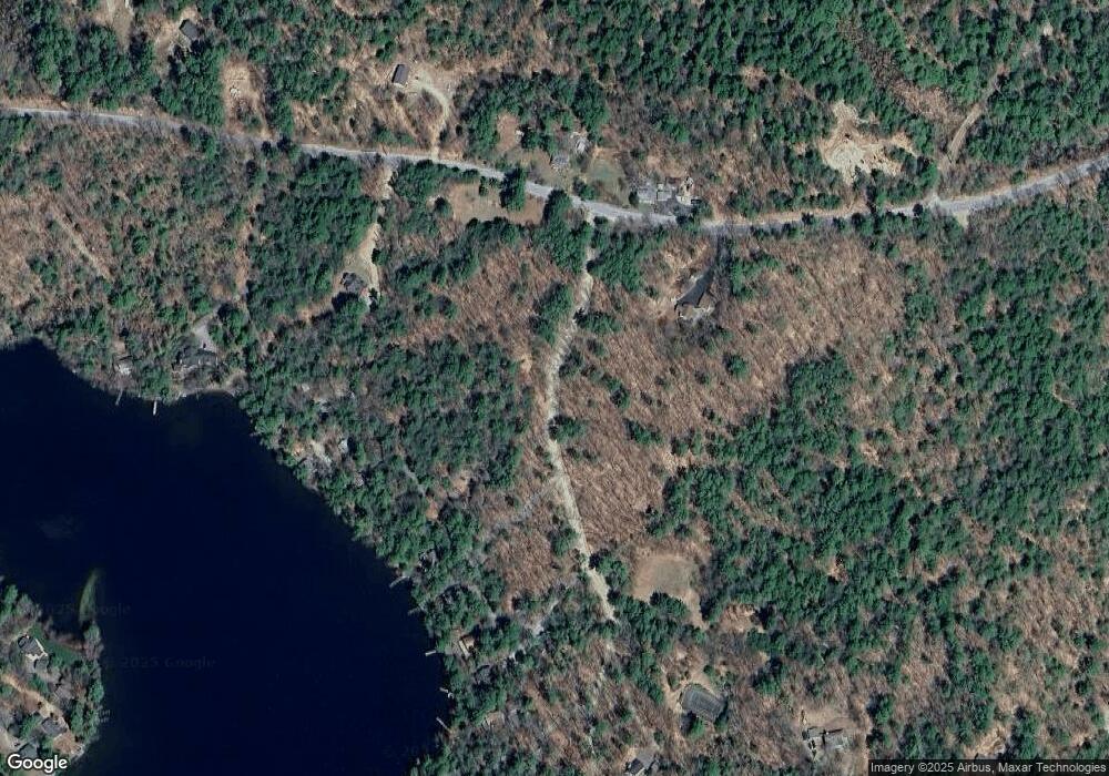
Map
Nearby Homes
- 65 Beede Rd
- 00 Beede Rd
- 14 Island View Dr
- 109 Leaward Shores Rd
- 00 Moultonboro Neck Rd Unit 2
- 00 Moultonboro Neck Rd
- 10 Woodridge Rd
- 167 Long Island Rd
- 16 Long Island Rd
- 42 High Ridge Rd
- Lot 1-37 Whortleberry Island
- 152 Wildwood Dr
- 130 W Point Rd
- 19 Alderberry Ln
- 19 Wawbeek Rd Unit one
- 00 Rivers Rd
- 7 Flint Dr
- 9 Starboard Ln Unit 1
- 323 Governor Wentworth Hwy
- 7 Brewster Rd