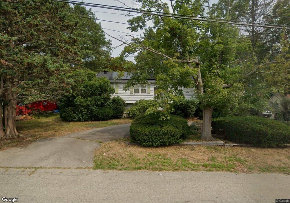
20 Malvern Rd Brockton, MA 02301
Estimated Value: $526,000 - $641,851
5
Beds
3
Baths
1,500
Sq Ft
$385/Sq Ft
Est. Value
About This Home
This home is located at 20 Malvern Rd, Brockton, MA 02301 and is currently estimated at $577,963, approximately $385 per square foot. 20 Malvern Rd is a home located in Plymouth County with nearby schools including Manthala George Jr. School, Louis F Angelo Elementary School, and Hancock Elementary School.
Ownership History
Date
Name
Owned For
Owner Type
Purchase Details
Closed on
Mar 4, 2009
Sold by
Lamb Erika T
Bought by
Fortes Janet S and Collucci Richard C
Current Estimated Value
Home Financials for this Owner
Home Financials are based on the most recent Mortgage that was taken out on this home.
Original Mortgage
$200,956
Outstanding Balance
$127,848
Interest Rate
5.14%
Mortgage Type
Purchase Money Mortgage
Estimated Equity
$450,115
Create a Home Valuation Report for This Property
The Home Valuation Report is an in-depth analysis detailing your home's value as well as a comparison with similar homes in the area
Home Values in the Area
Average Home Value in this Area
Purchase History
| Date | Buyer | Sale Price | Title Company |
|---|---|---|---|
| Fortes Janet S | $205,000 | -- |
Source: Public Records
Mortgage History
| Date | Status | Borrower | Loan Amount |
|---|---|---|---|
| Open | Fortes Janet S | $200,956 |
Source: Public Records
Tax History Compared to Growth
Tax History
| Year | Tax Paid | Tax Assessment Tax Assessment Total Assessment is a certain percentage of the fair market value that is determined by local assessors to be the total taxable value of land and additions on the property. | Land | Improvement |
|---|---|---|---|---|
| 2025 | $6,687 | $552,200 | $147,900 | $404,300 |
| 2024 | $6,285 | $522,900 | $147,900 | $375,000 |
| 2023 | $6,089 | $469,100 | $113,100 | $356,000 |
| 2022 | $5,916 | $423,500 | $102,900 | $320,600 |
| 2021 | $5,410 | $373,100 | $96,800 | $276,300 |
| 2020 | $5,263 | $347,400 | $92,700 | $254,700 |
| 2019 | $4,886 | $314,400 | $87,000 | $227,400 |
| 2018 | $4,365 | $271,800 | $87,000 | $184,800 |
| 2017 | $4,147 | $257,600 | $87,000 | $170,600 |
| 2016 | $3,915 | $225,500 | $78,900 | $146,600 |
| 2015 | $3,959 | $218,100 | $78,900 | $139,200 |
| 2014 | $3,927 | $216,600 | $78,900 | $137,700 |
Source: Public Records
Map
Nearby Homes
- 25 Monson St
- 17 Moraine Place
- 20 Montauk Rd
- 37 West St
- 21 Oneida Ave
- 48 N Belcher Ave
- 28 Fern Ave
- 77 Colonel Bell Dr Unit 4
- 61 Fairfield St
- 161 Moraine St
- 72 W Elm Terrace
- 141 Prospect Ave
- 281 Spring St
- 45 Cross St
- 114 Crickett Rd
- 190 Highland St
- 175 Belmont Ave
- 137 Boylston St
- 15 Byron Ave
- 231 Pleasant St