20 Mandon Ct Cicero, IN 46034
Estimated Value: $413,671 - $439,000
4
Beds
3
Baths
2,271
Sq Ft
$186/Sq Ft
Est. Value
About This Home
This home is located at 20 Mandon Ct, Cicero, IN 46034 and is currently estimated at $423,168, approximately $186 per square foot. 20 Mandon Ct is a home with nearby schools including Hamilton Heights Primary School, Hamilton Heights Elementary School, and Hamilton Heights Middle School.
Ownership History
Date
Name
Owned For
Owner Type
Purchase Details
Closed on
Feb 15, 2022
Sold by
M/I Homes Of Indiana Lp
Bought by
Campassi Brian P and Firn Ellen
Current Estimated Value
Home Financials for this Owner
Home Financials are based on the most recent Mortgage that was taken out on this home.
Original Mortgage
$318,250
Outstanding Balance
$295,519
Interest Rate
3.55%
Mortgage Type
New Conventional
Estimated Equity
$127,649
Purchase Details
Closed on
Feb 14, 2022
Sold by
M/I Homes Of Indiana Lp
Bought by
Campassi Brian P and Firn Ellen
Home Financials for this Owner
Home Financials are based on the most recent Mortgage that was taken out on this home.
Original Mortgage
$318,250
Outstanding Balance
$295,519
Interest Rate
3.55%
Mortgage Type
New Conventional
Estimated Equity
$127,649
Create a Home Valuation Report for This Property
The Home Valuation Report is an in-depth analysis detailing your home's value as well as a comparison with similar homes in the area
Home Values in the Area
Average Home Value in this Area
Purchase History
| Date | Buyer | Sale Price | Title Company |
|---|---|---|---|
| Campassi Brian P | -- | New Title Company Name | |
| Campassi Brian P | -- | New Title Company Name | |
| Campassi Brian P | -- | New Title Company Name |
Source: Public Records
Mortgage History
| Date | Status | Borrower | Loan Amount |
|---|---|---|---|
| Open | Campassi Brian P | $318,250 | |
| Closed | Campassi Brian P | $318,250 | |
| Closed | Campassi Brian P | $318,250 |
Source: Public Records
Tax History Compared to Growth
Tax History
| Year | Tax Paid | Tax Assessment Tax Assessment Total Assessment is a certain percentage of the fair market value that is determined by local assessors to be the total taxable value of land and additions on the property. | Land | Improvement |
|---|---|---|---|---|
| 2024 | $3,614 | $377,300 | $93,300 | $284,000 |
| 2023 | $3,614 | $364,400 | $93,300 | $271,100 |
| 2022 | $2,083 | $215,400 | $79,300 | $136,100 |
| 2021 | $12 | $600 | $600 | $0 |
| 2020 | $12 | $600 | $600 | $0 |
Source: Public Records
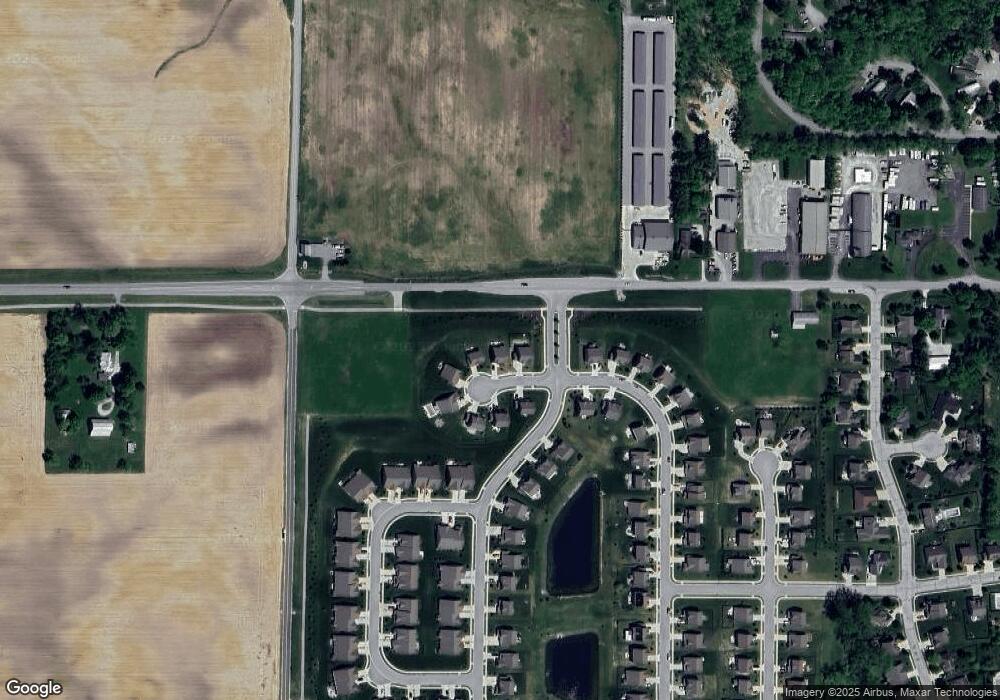
Map
Nearby Homes
- 104 Perlican Dr
- 243 Alvor Ct
- 131 Batteese Dr
- 24 Karner Blue Ct
- 27 Karner Blue Ct
- 47 Karner Blue Ct
- 25 Karner Blue Ct
- 23 Karner Blue Ct
- 15 Morse Ct
- 14 Morse Ct
- 31 Bluewater Dr
- 130 Overston Ct
- 826 N Lanyard Dr
- 221 Common Loon Blvd
- 709 Pleasant Point Cir
- 815 Morse Landing Dr
- 18 Point Ln
- 600 Lakeview Ln
- 100 Confidential Dr
- 29 Point Ln
- 10 Mandon Ct
- 30 Mandon Ct
- 40 Mandon Ct
- 7555 E 236th St
- 15 Mandon Ct
- 25 Mandon Ct
- 45 Mandon Ct
- 35 Mandon Ct
- 17 Verdant Dr
- 26 Verdant Dr Unit 2576561-1374
- 26 Verdant Dr Unit 2576566-1374
- 26 Verdant Dr Unit 2576564-1374
- 26 Verdant Dr Unit 2576565-1374
- 26 Verdant Dr Unit 2576563-1374
- 26 Verdant Dr Unit 2576562-1374
- 26 Verdant Dr
- Block F Forest Bay Ln
- Lot 6 Heron Hills
- Lot 2, 0 Cal Carson Rd
- Lot 3, 0 Cal Carson Rd