20 Manters Path Vineyard Haven, MA 02568
West Tisbury NeighborhoodEstimated Value: $1,736,000 - $2,003,000
3
Beds
2
Baths
2,097
Sq Ft
$882/Sq Ft
Est. Value
About This Home
This home is located at 20 Manters Path, Vineyard Haven, MA 02568 and is currently estimated at $1,850,020, approximately $882 per square foot. 20 Manters Path is a home located in Dukes County with nearby schools including Martha's Vineyard Regional High School and Martha's Vineyard Charter School.
Ownership History
Date
Name
Owned For
Owner Type
Purchase Details
Closed on
Mar 10, 2021
Sold by
K D Upson T 2
Bought by
K D Upson T 1994
Current Estimated Value
Purchase Details
Closed on
Nov 1, 2007
Sold by
West Michael G
Bought by
K D Upson T 2
Purchase Details
Closed on
May 9, 1996
Sold by
Soikkeli Heikki M and Obrien Ellen
Bought by
West Michael G
Create a Home Valuation Report for This Property
The Home Valuation Report is an in-depth analysis detailing your home's value as well as a comparison with similar homes in the area
Home Values in the Area
Average Home Value in this Area
Purchase History
| Date | Buyer | Sale Price | Title Company |
|---|---|---|---|
| K D Upson T 1994 | -- | None Available | |
| K D Upson T 2 | $810,000 | -- | |
| West Michael G | $318,660 | -- |
Source: Public Records
Mortgage History
| Date | Status | Borrower | Loan Amount |
|---|---|---|---|
| Previous Owner | West Michael G | $100,000 | |
| Previous Owner | West Michael G | $100,000 | |
| Previous Owner | West Michael G | $270,000 |
Source: Public Records
Tax History Compared to Growth
Tax History
| Year | Tax Paid | Tax Assessment Tax Assessment Total Assessment is a certain percentage of the fair market value that is determined by local assessors to be the total taxable value of land and additions on the property. | Land | Improvement |
|---|---|---|---|---|
| 2025 | $7,466 | $1,648,200 | $653,900 | $994,300 |
| 2024 | $6,668 | $1,550,600 | $634,900 | $915,700 |
| 2023 | $6,404 | $1,468,800 | $604,800 | $864,000 |
| 2022 | $6,345 | $1,090,200 | $378,000 | $712,200 |
| 2021 | $5,864 | $961,300 | $308,200 | $653,100 |
| 2020 | $5,819 | $958,700 | $303,100 | $655,600 |
| 2019 | $5,631 | $911,100 | $303,100 | $608,000 |
| 2018 | $5,432 | $896,300 | $286,000 | $610,300 |
| 2017 | $4,740 | $794,000 | $280,300 | $513,700 |
| 2016 | $4,497 | $742,000 | $262,200 | $479,800 |
| 2015 | $4,237 | $742,000 | $262,200 | $479,800 |
| 2014 | $3,726 | $688,800 | $323,600 | $365,200 |
Source: Public Records
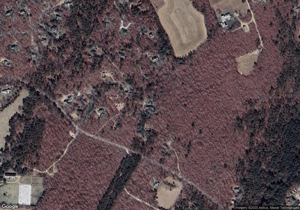
Map
Nearby Homes
- 10 Danls Way
- 104 Pond View Farm Rd
- 32 Edgartown - West Tisbury Rd Unit 81
- 16 South Rd
- 40 Scotchmans Ln
- 111 Charles Neck Way
- 25 Vineyard Meadow Farms Rd
- 146 Quansoo Rd
- 651 State Rd
- 22 Bramble Path Unit 214
- 22 Bramble Path
- 9 Galway Rd
- 25 Coffins Field Rd
- 25 Coffins Field Rd Unit 18
- 229 Oak Ln
- 52 Old Coach Rd
- 11 By the Woods
- 15 Old Farm Rd
- 124 Old Farm Rd Unit 122, 116
- 99 Cygnet Way Unit 103
- 23 Crow Hollow Wt107 Unit 1
- 23 Crow Hollow Wt107
- 23 Manters Path
- 15 Manters Path
- 33 Crow Hollow Rd
- 124 Tiahs Cove Rd
- 11 Crow Hollow Rd
- 11 Crow Hollow Rd
- 39 Crow Hollow Rd
- 24 Crow Hollow Rd
- 34 Crow Hollow Rd
- 10 Crow Hollow Rd
- 85 Tiahs Cove Rd
- 20 Plum Bush Point Rd
- 49 Holly Ln Unit CROW
- 46 Crow Hollow Rd
- 70 Tiahs Cove Rd
- 18 Crow Hollow Rd
- 1 Dylan's Way
- 8 Dylans Way