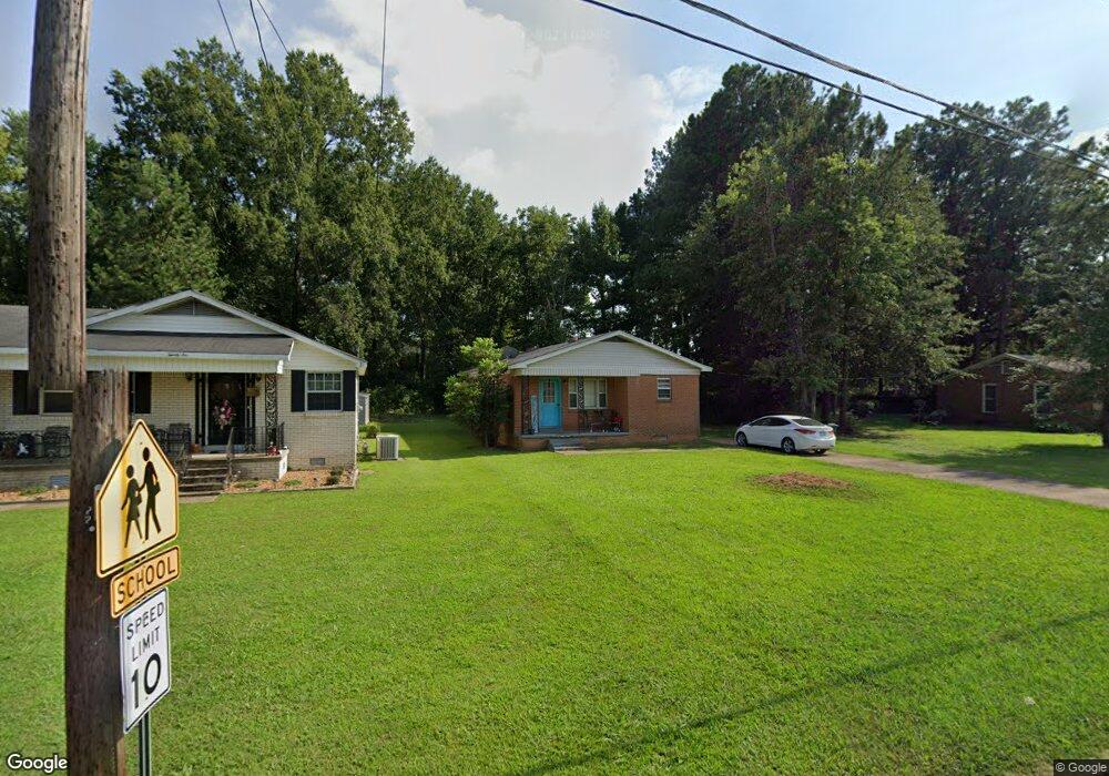
20 Maple St Humboldt, TN 38343
Estimated Value: $42,000 - $65,862
--
Bed
1
Bath
1,032
Sq Ft
$54/Sq Ft
Est. Value
About This Home
This home is located at 20 Maple St, Humboldt, TN 38343 and is currently estimated at $55,966, approximately $54 per square foot. 20 Maple St is a home located in Gibson County with nearby schools including Stigall Primary School, East Elementary School, and Humboldt Middle School.
Ownership History
Date
Name
Owned For
Owner Type
Purchase Details
Closed on
Aug 7, 2003
Sold by
Union Planters Bank
Bought by
Lloyd Felicia
Current Estimated Value
Home Financials for this Owner
Home Financials are based on the most recent Mortgage that was taken out on this home.
Original Mortgage
$22,500
Outstanding Balance
$9,681
Interest Rate
5.42%
Estimated Equity
$46,285
Purchase Details
Closed on
Sep 21, 2001
Sold by
Boykin Mary F
Bought by
Union Planters
Purchase Details
Closed on
Feb 9, 1996
Bought by
Boykin Mary Francis
Purchase Details
Closed on
Jan 18, 1995
Sold by
Lewis W E
Bought by
Nance Elton and Deberry Nikk
Purchase Details
Closed on
Mar 7, 1972
Bought by
Lewis Mary C
Create a Home Valuation Report for This Property
The Home Valuation Report is an in-depth analysis detailing your home's value as well as a comparison with similar homes in the area
Home Values in the Area
Average Home Value in this Area
Purchase History
| Date | Buyer | Sale Price | Title Company |
|---|---|---|---|
| Lloyd Felicia | $25,000 | -- | |
| Union Planters | $36,000 | -- | |
| Boykin Mary Francis | $35,000 | -- | |
| Nance Elton | $6,000 | -- | |
| Lewis Mary C | -- | -- |
Source: Public Records
Mortgage History
| Date | Status | Borrower | Loan Amount |
|---|---|---|---|
| Open | Lewis Mary C | $22,500 |
Source: Public Records
Tax History Compared to Growth
Tax History
| Year | Tax Paid | Tax Assessment Tax Assessment Total Assessment is a certain percentage of the fair market value that is determined by local assessors to be the total taxable value of land and additions on the property. | Land | Improvement |
|---|---|---|---|---|
| 2025 | $350 | $12,925 | $0 | $0 |
| 2024 | $350 | $12,925 | $2,250 | $10,675 |
| 2023 | $85 | $7,750 | $1,000 | $6,750 |
| 2022 | $80 | $7,750 | $1,000 | $6,750 |
| 2021 | $80 | $7,750 | $1,000 | $6,750 |
| 2020 | $292 | $7,750 | $1,000 | $6,750 |
| 2019 | $292 | $7,750 | $1,000 | $6,750 |
| 2018 | $307 | $7,575 | $1,000 | $6,575 |
| 2017 | $303 | $7,575 | $1,000 | $6,575 |
| 2016 | $303 | $7,575 | $1,000 | $6,575 |
| 2015 | $301 | $7,575 | $1,000 | $6,575 |
| 2014 | $301 | $7,575 | $1,000 | $6,575 |
Source: Public Records
Map
Nearby Homes
- 580 Westside Dr
- 76 Etheridge St Unit R
- 214 Vine St
- 73 Etheridge St
- 0 MacLin St Unit 224868
- 0 W Main St
- 0 Humboldt Bypass Hwy
- 000 Gibson Wells Rd
- 106 S 13th Ave
- 0 Calhoun Etheridge & Rr Unit 246886
- 405 N 16th Ave
- 1509 Vine St
- 1635 Osborne St
- 112 S 17th Ave
- 700 N 18th Ave
- 1325 N 17th Ave
- 1907 E Mitchell St
- 1416 N 18th Ave
- 00 Highway 45 W
- 1438 N 19th Ave