Estimated Value: $402,074 - $476,000
3
Beds
1
Bath
1,008
Sq Ft
$432/Sq Ft
Est. Value
About This Home
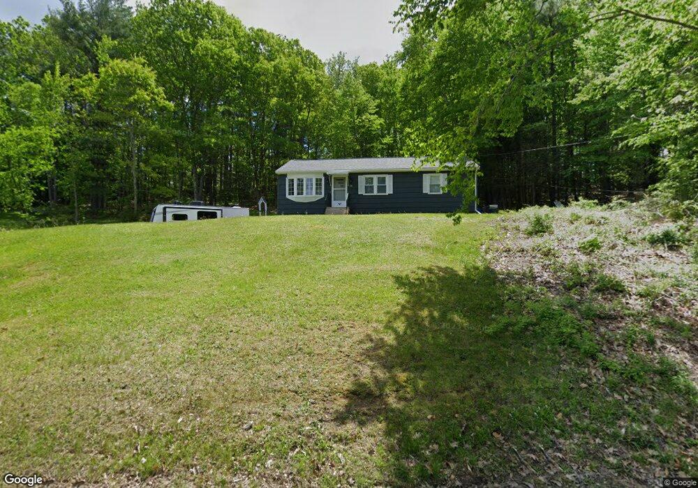
This home is located at 20 Mast Rd, Dover, NH 03820 and is currently estimated at $435,269, approximately $431 per square foot. 20 Mast Rd is a home located in Strafford County with nearby schools including Garrison School, Dover Middle School, and Dover Senior High School.
Ownership History
Date
Name
Owned For
Owner Type
Purchase Details
Closed on
Jan 2, 2001
Sold by
Cormier Michael A
Bought by
Cormier Todd A
Current Estimated Value
Create a Home Valuation Report for This Property
The Home Valuation Report is an in-depth analysis detailing your home's value as well as a comparison with similar homes in the area
Home Values in the Area
Average Home Value in this Area
Purchase History
We collect this data history from publicly available records. To have your information removed, we recommend requesting removal directly through your county’s website.
| Date | Buyer | Sale Price | Title Company |
|---|---|---|---|
| Cormier Todd A | $118,000 | -- |
Source: Public Records
Mortgage History
We collect this data history from publicly available records. To have your information removed, we recommend requesting removal directly through your county’s website.
| Date | Status | Borrower | Loan Amount |
|---|---|---|---|
| Open | Cormier Todd A | $124,000 | |
| Closed | Cormier Todd A | $135,000 | |
| Closed | Cormier Todd A | $136,000 | |
| Closed | Cormier Todd A | $167,200 |
Source: Public Records
Tax History
| Year | Tax Paid | Tax Assessment Tax Assessment Total Assessment is a certain percentage of the fair market value that is determined by local assessors to be the total taxable value of land and additions on the property. | Land | Improvement |
|---|---|---|---|---|
| 2025 | $6,825 | $346,800 | $159,900 | $186,900 |
| 2024 | $6,301 | $346,800 | $159,900 | $186,900 |
| 2023 | $5,913 | $316,200 | $159,900 | $156,300 |
| 2022 | $5,613 | $282,900 | $142,100 | $140,800 |
| 2021 | $5,737 | $264,400 | $142,100 | $122,300 |
| 2020 | $5,681 | $228,600 | $128,800 | $99,800 |
| 2019 | $5,373 | $213,300 | $115,500 | $97,800 |
| 2018 | $4,979 | $199,800 | $106,600 | $93,200 |
| 2017 | $4,755 | $183,800 | $93,300 | $90,500 |
| 2016 | $4,388 | $166,900 | $84,600 | $82,300 |
| 2015 | $4,271 | $160,500 | $80,100 | $80,400 |
| 2014 | $4,175 | $160,500 | $80,100 | $80,400 |
| 2011 | $4,152 | $165,300 | $79,900 | $85,400 |
Source: Public Records
Map
Nearby Homes
- 4 Fords Landing Dr
- 57 Dunns Bridge Ln
- 29 Hemlock Forest
- 4 Hemlock Forest
- 56 Durham Rd Unit 51
- 1 Middlebrook Rd
- 93 Stark Ave
- 81 Stark Ave
- 7 Harvest Dr
- 18 Piscataqua Rd
- 16 Polly Ann Park
- 13 Stark Ave
- 55 Pointe Place Unit 108
- 65 Polly Ann Trailer Park
- 16 Porch Light Dr Unit 2
- 12 Zeland Dr
- 20 Lenox Dr Unit c
- 22 Lenox Dr Unit D
- 16 Lenox Dr Unit C
- 26 Lenox Dr Unit D
Your Personal Tour Guide
Ask me questions while you tour the home.