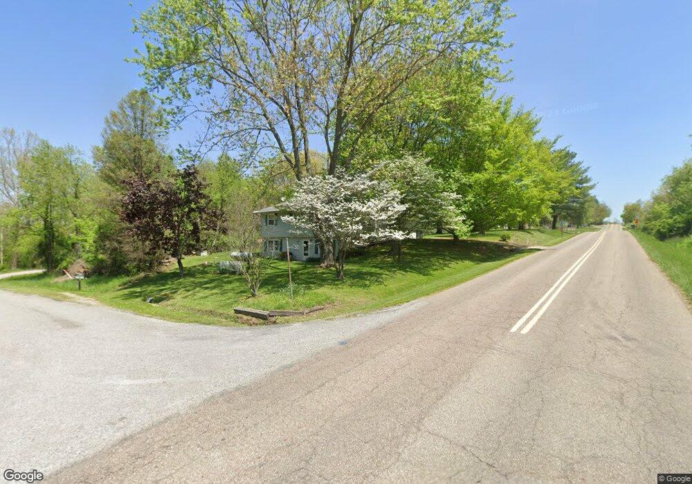
20 Mcintosh Ct Howard, OH 43028
Apple Valley NeighborhoodEstimated Value: $232,000 - $298,000
3
Beds
2
Baths
1,750
Sq Ft
$145/Sq Ft
Est. Value
About This Home
This home is located at 20 Mcintosh Ct, Howard, OH 43028 and is currently estimated at $253,567, approximately $144 per square foot. 20 Mcintosh Ct is a home located in Knox County with nearby schools including East Knox Elementary School and East Knox High School.
Ownership History
Date
Name
Owned For
Owner Type
Purchase Details
Closed on
Sep 29, 2006
Sold by
Tuel Mark S and Tuel Crystal O
Bought by
Brown Carol L
Current Estimated Value
Home Financials for this Owner
Home Financials are based on the most recent Mortgage that was taken out on this home.
Original Mortgage
$90,750
Outstanding Balance
$54,511
Interest Rate
6.58%
Mortgage Type
New Conventional
Estimated Equity
$199,056
Purchase Details
Closed on
Aug 25, 2005
Sold by
Tuel Mark S and Tuel Crystal O
Bought by
Tuel Mark S and Tuel Crystal O
Purchase Details
Closed on
Apr 16, 1990
Sold by
Pever Kenneth A and Pever Gwend
Bought by
Tuel Mark S & Owens Cryst
Purchase Details
Closed on
May 13, 1988
Sold by
Curl Harrold T and Curl Louise
Bought by
Pever Kenneth A and Pever Gwend
Create a Home Valuation Report for This Property
The Home Valuation Report is an in-depth analysis detailing your home's value as well as a comparison with similar homes in the area
Home Values in the Area
Average Home Value in this Area
Purchase History
| Date | Buyer | Sale Price | Title Company |
|---|---|---|---|
| Brown Carol L | $86,250 | None Available | |
| Tuel Mark S | -- | None Available | |
| Tuel Mark S & Owens Cryst | $59,500 | -- | |
| Pever Kenneth A | $52,500 | -- |
Source: Public Records
Mortgage History
| Date | Status | Borrower | Loan Amount |
|---|---|---|---|
| Open | Brown Carol L | $90,750 |
Source: Public Records
Tax History Compared to Growth
Tax History
| Year | Tax Paid | Tax Assessment Tax Assessment Total Assessment is a certain percentage of the fair market value that is determined by local assessors to be the total taxable value of land and additions on the property. | Land | Improvement |
|---|---|---|---|---|
| 2024 | $2,104 | $52,240 | $4,250 | $47,990 |
| 2023 | $2,104 | $52,240 | $4,250 | $47,990 |
| 2022 | $1,693 | $36,020 | $2,930 | $33,090 |
| 2021 | $1,693 | $36,020 | $2,930 | $33,090 |
| 2020 | $1,612 | $36,020 | $2,930 | $33,090 |
| 2019 | $1,616 | $33,140 | $2,880 | $30,260 |
| 2018 | $1,513 | $33,140 | $2,880 | $30,260 |
| 2017 | $1,500 | $33,140 | $2,880 | $30,260 |
| 2016 | $1,410 | $30,680 | $2,660 | $28,020 |
| 2015 | $1,284 | $30,680 | $2,660 | $28,020 |
| 2014 | $1,286 | $30,680 | $2,660 | $28,020 |
| 2013 | $1,385 | $31,350 | $3,260 | $28,090 |
Source: Public Records
Map
Nearby Homes
- 890 Winesap Dr
- 177 Lakeview Heights Dr
- 882 Winesap Dr
- 882 Winesap Dr Unit 197
- 610 Crabapple Dr
- 43 Hawkeye Ct
- 629 Mcintosh Dr
- 667 Winesap Cir
- 770 Winesap Cir
- 531 Crabapple Dr
- 1709 Apple Valley Dr
- 1708 Apple Valley Dr
- 558 Crabapple Dr
- 214 Crabapple Dr
- 719 Winesap Cir
- 232 Northern Spy Dr
- 561 Mcintosh Dr
- 1257 Apple Valley Dr
- 318 Crabapple Dr
- 406 Crabapple Dr
- 102 Lakeview Heights Dr
- 98 Lakeview Heights Dr
- 0 Mcintosh Ct Unit Lot 429 3885322
- 0 Mcintosh Ct Unit Lot 429
- 0 Mcintosh Ct Unit 20240277
- 0 Mcintosh Ct Unit 218034976
- 105 Lakeview Heights Dr
- Lot 224 Apple Valley
- 990 Winesap Dr
- 993 Winesap Dr
- 989 Winesap Dr Unit Lot 347 Apple Valley
- 989 Winesap Dr
- 30 Winesap Ct
- 986 Winesap Dr #229
- Lot 229 Apple Valley
- 112 Lakeview Heights Dr
- 64 Mcintosh Ct
- 34 Winesap Ct
- 21 Mcintosh Ct
- 73 Mcintosh Ct