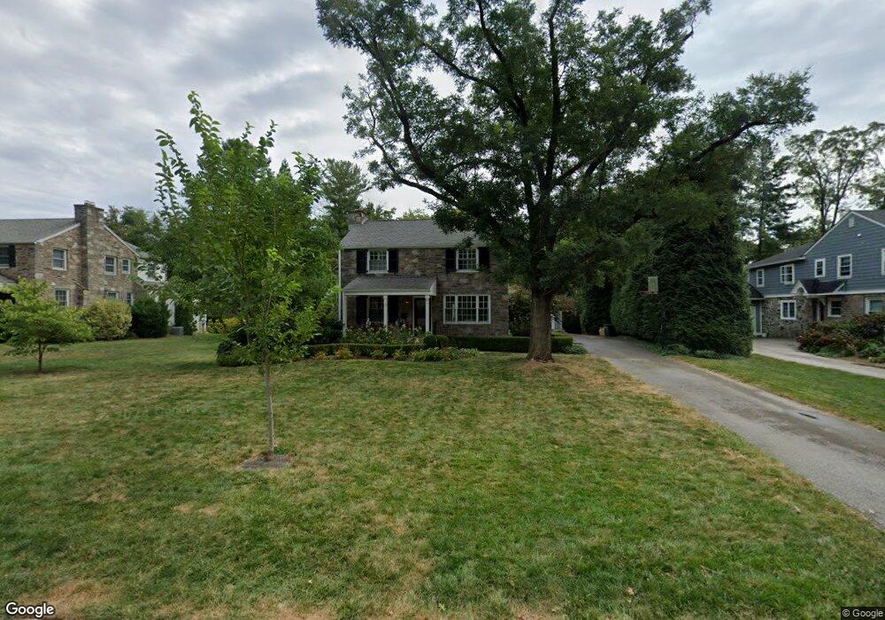
20 Meadowood Rd Bryn Mawr, PA 19010
Estimated Value: $1,251,000 - $1,616,000
4
Beds
3
Baths
2,920
Sq Ft
$478/Sq Ft
Est. Value
About This Home
This home is located at 20 Meadowood Rd, Bryn Mawr, PA 19010 and is currently estimated at $1,395,819, approximately $478 per square foot. 20 Meadowood Rd is a home located in Delaware County with nearby schools including Radnor El School, Radnor Middle School, and Radnor Senior High School.
Ownership History
Date
Name
Owned For
Owner Type
Purchase Details
Closed on
Jun 1, 1999
Sold by
Luce Laurence and Luce Marian
Bought by
Goncher John P and Goncher Linda B
Current Estimated Value
Home Financials for this Owner
Home Financials are based on the most recent Mortgage that was taken out on this home.
Original Mortgage
$330,000
Outstanding Balance
$86,602
Interest Rate
6.99%
Mortgage Type
Purchase Money Mortgage
Estimated Equity
$1,309,217
Create a Home Valuation Report for This Property
The Home Valuation Report is an in-depth analysis detailing your home's value as well as a comparison with similar homes in the area
Home Values in the Area
Average Home Value in this Area
Purchase History
| Date | Buyer | Sale Price | Title Company |
|---|---|---|---|
| Goncher John P | $375,125 | First American Title Ins Co |
Source: Public Records
Mortgage History
| Date | Status | Borrower | Loan Amount |
|---|---|---|---|
| Open | Goncher John P | $330,000 |
Source: Public Records
Tax History Compared to Growth
Tax History
| Year | Tax Paid | Tax Assessment Tax Assessment Total Assessment is a certain percentage of the fair market value that is determined by local assessors to be the total taxable value of land and additions on the property. | Land | Improvement |
|---|---|---|---|---|
| 2025 | $15,731 | $778,070 | $214,350 | $563,720 |
| 2024 | $15,731 | $778,070 | $214,350 | $563,720 |
| 2023 | $15,108 | $778,070 | $214,350 | $563,720 |
| 2022 | $14,943 | $778,070 | $214,350 | $563,720 |
| 2021 | $24,002 | $778,070 | $214,350 | $563,720 |
| 2020 | $14,673 | $421,780 | $122,750 | $299,030 |
| 2019 | $14,259 | $421,780 | $122,750 | $299,030 |
| 2018 | $13,979 | $421,780 | $0 | $0 |
| 2017 | $13,686 | $421,780 | $0 | $0 |
| 2016 | $2,315 | $421,780 | $0 | $0 |
| 2015 | $2,362 | $421,780 | $0 | $0 |
| 2014 | $2,315 | $318,450 | $0 | $0 |
Source: Public Records
Map
Nearby Homes
- 219 S Ithan Ave
- 131 Fairfax Rd
- 189 Meredith Ave
- 7 Lockwood Ln
- 4 Lockwood Ln
- 3 Lockwood Ln
- 200 S Ithan Ave
- 12 Lockwood Ln
- 15 Lockwood Ln
- 68 Garrett Ave
- 406 Barclay Rd
- 1030 E Lancaster Ave Unit 216
- 1030 E Lancaster Ave Unit 923
- 101 Highfield Rd
- 215 Cornell Dr
- 390 S Bryn Mawr Ave
- 100 Radnor Ave
- 1962 Montgomery Ave
- 253 Ithan Creek Rd
- 28 S Warner Ave
- 22 Meadowood Rd
- 18 Meadowood Rd
- 177 Brooklea Rd
- 242 Barcladen Cir
- 244 Barcladen Cir
- 240 Barcladen Cir
- 16 Meadowood Rd
- 175 Brooklea Rd
- 246 Barcladen Cir
- 15 Meadowood Rd
- 238 Barcladen Cir
- 17 Meadowood Rd
- 24 Meadowood Rd
- 173 Brooklea Rd
- 176 Brooklea Rd
- 146 Browning Ln
- 236 Barcladen Cir
- 248 Barcladen Cir
- 14 Meadowood Rd
- 100 Browning Ln