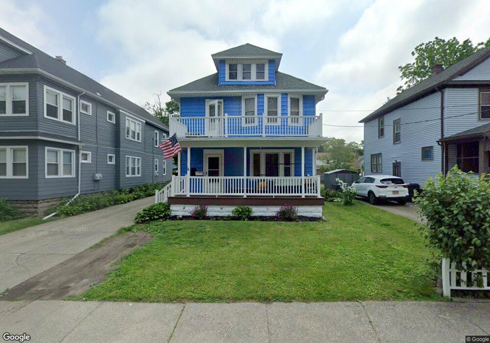
20 Melroy Ave Unit 22 Buffalo, NY 14218
Estimated Value: $230,000 - $266,000
6
Beds
2
Baths
2,448
Sq Ft
$101/Sq Ft
Est. Value
About This Home
This home is located at 20 Melroy Ave Unit 22, Buffalo, NY 14218 and is currently estimated at $247,003, approximately $100 per square foot. 20 Melroy Ave Unit 22 is a home located in Erie County with nearby schools including Truman Elementary School, Martin Road Elementary School, and Lackawanna Middle School.
Ownership History
Date
Name
Owned For
Owner Type
Purchase Details
Closed on
Jun 6, 2023
Sold by
Near Dennis and Gossart Anne
Bought by
Lineage Group Inc
Current Estimated Value
Home Financials for this Owner
Home Financials are based on the most recent Mortgage that was taken out on this home.
Original Mortgage
$100,000
Outstanding Balance
$97,345
Interest Rate
6.43%
Mortgage Type
Seller Take Back
Estimated Equity
$149,658
Create a Home Valuation Report for This Property
The Home Valuation Report is an in-depth analysis detailing your home's value as well as a comparison with similar homes in the area
Home Values in the Area
Average Home Value in this Area
Purchase History
| Date | Buyer | Sale Price | Title Company |
|---|---|---|---|
| Lineage Group Inc | $185,000 | Chicago Title Insurance Co |
Source: Public Records
Mortgage History
| Date | Status | Borrower | Loan Amount |
|---|---|---|---|
| Open | Lineage Group Inc | $100,000 |
Source: Public Records
Tax History
| Year | Tax Paid | Tax Assessment Tax Assessment Total Assessment is a certain percentage of the fair market value that is determined by local assessors to be the total taxable value of land and additions on the property. | Land | Improvement |
|---|---|---|---|---|
| 2024 | $3,402 | $166,000 | $12,300 | $153,700 |
| 2023 | $2,619 | $166,000 | $12,300 | $153,700 |
| 2022 | $2,512 | $166,000 | $12,300 | $153,700 |
| 2021 | $2,547 | $166,000 | $12,300 | $153,700 |
| 2020 | $798 | $166,000 | $12,300 | $153,700 |
| 2019 | $2,602 | $68,000 | $6,700 | $61,300 |
| 2018 | $1,042 | $68,000 | $6,700 | $61,300 |
| 2017 | $2,602 | $68,000 | $6,700 | $61,300 |
| 2016 | $1,069 | $68,000 | $6,700 | $61,300 |
| 2015 | -- | $68,000 | $6,700 | $61,300 |
| 2014 | -- | $68,000 | $6,700 | $61,300 |
Source: Public Records
Map
Nearby Homes
- 1349 Mckinley Pkwy
- 3 & 7 Rudolph St
- 78 Victory Ave
- 70 Mckinley Pkwy
- 18-22 Maple Grove Ave
- 19 Cherry Ave
- 77 Cantwell Dr
- 2332 S Park Ave
- 106 Cantwell Dr
- 55 Saint Jude Dr Unit 2
- 238 Orchard Place
- 331 S Shore Blvd
- 1403 Electric Ave
- 11 Fig Ave
- 104 Eden St
- 51 Ashton Place
- 2267 S Park Ave Unit 2
- 548 Marilla St
- 56 Gibbons St
- 226 Kirby Ave
Your Personal Tour Guide
Ask me questions while you tour the home.