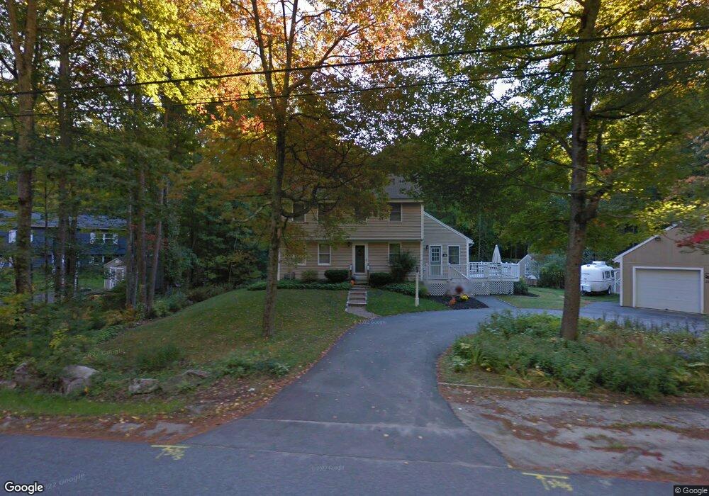
20 Merrill Rd Freeport, ME 04032
Estimated Value: $604,000 - $686,000
4
Beds
3
Baths
2,292
Sq Ft
$279/Sq Ft
Est. Value
About This Home
This home is located at 20 Merrill Rd, Freeport, ME 04032 and is currently estimated at $638,694, approximately $278 per square foot. 20 Merrill Rd is a home located in Cumberland County with nearby schools including Morse Street School, Mast Landing School, and Freeport Middle School.
Ownership History
Date
Name
Owned For
Owner Type
Purchase Details
Closed on
Apr 24, 2024
Sold by
Hart Eileen B
Bought by
Hart Tracy and Pendleton Ava
Current Estimated Value
Purchase Details
Closed on
Mar 31, 2011
Sold by
Geer Jeannine C and Geer Stephen D
Bought by
Roberts David G and Night Joan E
Create a Home Valuation Report for This Property
The Home Valuation Report is an in-depth analysis detailing your home's value as well as a comparison with similar homes in the area
Home Values in the Area
Average Home Value in this Area
Purchase History
| Date | Buyer | Sale Price | Title Company |
|---|---|---|---|
| Hart Tracy | -- | None Available | |
| Hart Tracy | -- | None Available | |
| Roberts David G | $227,000 | -- | |
| Roberts David G | $227,000 | -- |
Source: Public Records
Tax History
| Year | Tax Paid | Tax Assessment Tax Assessment Total Assessment is a certain percentage of the fair market value that is determined by local assessors to be the total taxable value of land and additions on the property. | Land | Improvement |
|---|---|---|---|---|
| 2025 | $5,834 | $421,200 | $145,100 | $276,100 |
| 2024 | $5,530 | $414,200 | $138,100 | $276,100 |
| 2023 | $5,045 | $366,900 | $125,500 | $241,400 |
| 2022 | $4,907 | $359,500 | $118,100 | $241,400 |
| 2021 | $4,799 | $359,500 | $118,100 | $241,400 |
| 2020 | $4,645 | $331,800 | $109,300 | $222,500 |
| 2019 | $3,434 | $314,600 | $103,200 | $211,400 |
| 2018 | $4,396 | $292,100 | $96,400 | $195,700 |
| 2017 | $4,199 | $280,900 | $94,200 | $186,700 |
| 2016 | $3,164 | $259,900 | $87,200 | $172,700 |
| 2015 | $4,108 | $244,500 | $82,000 | $162,500 |
| 2014 | $3,863 | $244,500 | $82,000 | $162,500 |
| 2013 | $3,882 | $244,900 | $81,800 | $163,100 |
Source: Public Records
Map
Nearby Homes
- 62 Webster Rd
- 39 Hunter Rd
- 27 Youngs Ln Unit 27
- 67 Farmview Ln
- 4 Harper's Trail
- 15 Linwood Rd Unit 15
- 10 Durham Rd
- 42 Durham Rd
- 5 Holbrook St
- 20 Harvest Ridge Rd Unit 23
- 26 Harvest Ridge Rd Unit 24
- 8 Statler Ln
- 2 Tidal Brook Rd
- 212 Main St
- 238 Hallowell Rd
- 11 Orchard Hill Rd
- 143 Bragdon Rd
- 508 Mountfort Rd
- 1 Wardtown Rd
- 1260 Us Route 1
- 22 Merrill Rd
- 21 Merrill Rd
- 19 Merrill Rd
- 24 Merrill Rd
- 23 Merrill Rd
- 4 Evergreen Dr
- 17 Merrill Rd
- 6 Evergreen Dr
- Lot 2 Hemlock Ridge
- 16 Merrill Rd
- 8 Evergreen Dr
- Lot 3 Hemlock Ridge
- Lot 1 Hemlock Ridge
- 25 Merrill Rd
- 3 Bog Rosemary Way Unit 74
- 10 Evergreen Dr
- 5 Lady Slipper Ln
- 14 Merrill Rd
- 7 Lady Slipper Ln
- 10 Hemlock Creek
Your Personal Tour Guide
Ask me questions while you tour the home.