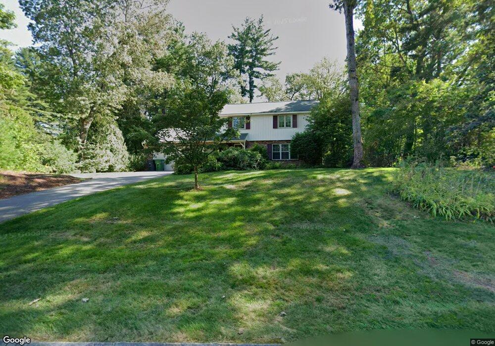
20 Michael Ave Nashua, NH 03062
West Hollis NeighborhoodEstimated Value: $586,000 - $685,000
About This Home
This home is located at 20 Michael Ave, Nashua, NH 03062 and is currently estimated at $622,802, approximately $362 per square foot. 20 Michael Ave is a home located in Hillsborough County with nearby schools including Main Dunstable School, Elm Street Middle School, and Nashua High School South.
Ownership History
We collect this data history from publicly available records. To have your information removed, we recommend requesting removal directly through your county’s website.
Purchase Details
Purchase Details
Home Values in the Area
Average Home Value in this Area
Purchase History
We collect this data history from publicly available records. To have your information removed, we recommend requesting removal directly through your county’s website.
| Date | Buyer | Sale Price | Title Company |
|---|---|---|---|
| -- | -- | ||
| -- | -- |
Tax History
We collect this data history from publicly available records. To have your information removed, we recommend requesting removal directly through your county’s website.
| Year | Tax Paid | Tax Assessment Tax Assessment Total Assessment is a certain percentage of the fair market value that is determined by local assessors to be the total taxable value of land and additions on the property. | Land | Improvement |
|---|---|---|---|---|
| 2025 | $8,758 | $520,400 | $180,200 | $340,200 |
| 2024 | $8,274 | $520,400 | $180,200 | $340,200 |
| 2023 | $7,868 | $431,600 | $144,100 | $287,500 |
| 2022 | $7,799 | $431,600 | $144,100 | $287,500 |
| 2021 | $7,196 | $309,900 | $100,900 | $209,000 |
| 2020 | $7,007 | $309,900 | $100,900 | $209,000 |
| 2019 | $6,743 | $309,900 | $100,900 | $209,000 |
| 2018 | $6,573 | $309,900 | $100,900 | $209,000 |
| 2017 | $6,899 | $267,500 | $82,000 | $185,500 |
| 2016 | $6,706 | $267,500 | $82,000 | $185,500 |
| 2015 | $6,562 | $267,500 | $82,000 | $185,500 |
| 2014 | $6,433 | $267,500 | $82,000 | $185,500 |
Map
- 19 Michael Ave
- 14 Macdonald Dr
- 6 Grace Dr
- 7 Cortez Dr Unit U40
- 1 Cortez Dr Unit U34
- 7 Ronnie Dr
- 11 Beaujolais Dr Unit U60
- 2 Jolori Ln
- 60 Trestle Brook Dr
- 63 Trestle Brook Dr
- 19 Yarmouth Dr
- 50 Langholm Dr
- 3 Pluto Ln
- 41 Farmwood Dr
- 16 Cimmarron Dr
- 4 Manorcrest Dr
- 24 Killian Dr Unit U37
- 47 Dogwood Dr Unit U202
- 6 Killian Dr Unit U17
- 500 Candlewood Park Unit 13
- 18 Michael Ave
- 22 Michael Ave
- 24 Michael Ave
- 16 Michael Ave
- 21 Michael Ave
- 29 Twilight Dr
- 14 Michael Ave
- 17 Michael Ave
- 26 Michael Ave
- 23 Michael Ave
- 415 Main Dunstable Rd
- 411 Main Dunstable Rd
- 15 Michael Ave
- 12 Michael Ave
- 27 Twilight Dr
- 405 Main Dunstable Rd
- 407 Main Dunstable Rd
- 26 Twilight Dr
- 11 Michael Ave
- 25 Michael Ave
Ask me questions while you tour the home.