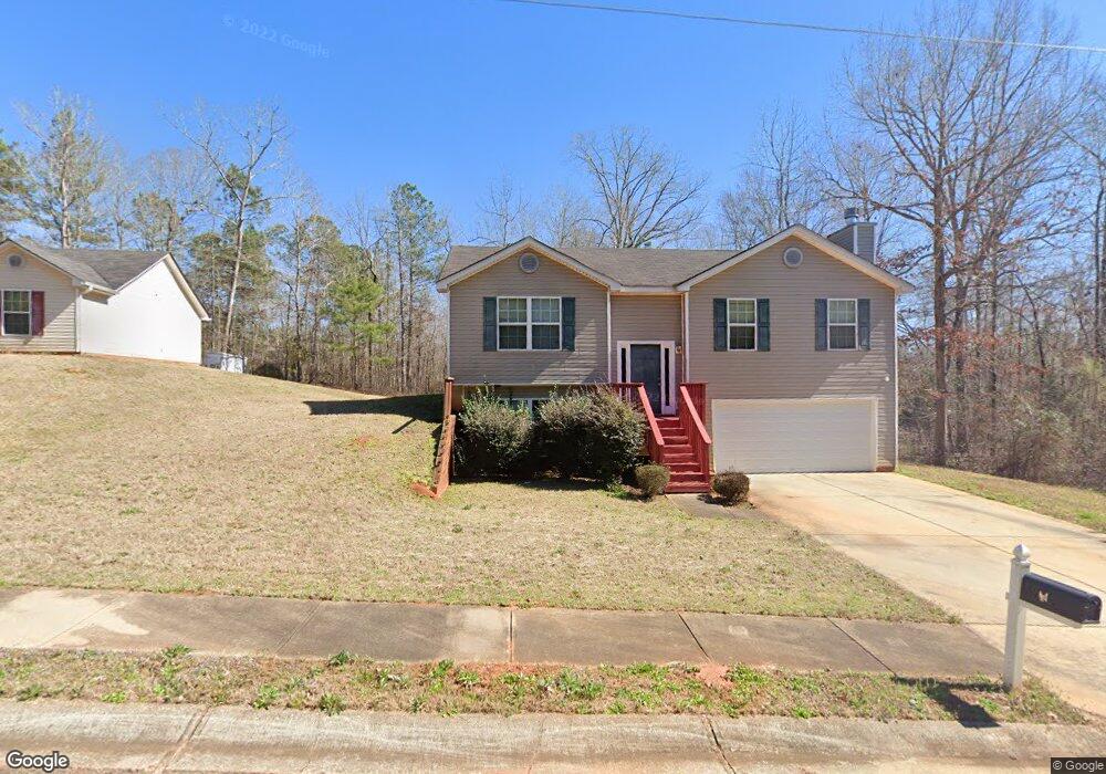
20 Michael Ct Covington, GA 30016
Estimated Value: $256,195 - $262,000
3
Beds
2
Baths
1,154
Sq Ft
$224/Sq Ft
Est. Value
About This Home
This home is located at 20 Michael Ct, Covington, GA 30016 and is currently estimated at $259,049, approximately $224 per square foot. 20 Michael Ct is a home located in Newton County with nearby schools including Oak Hill Elementary School, Veterans Memorial Middle School, and Alcovy High School.
Ownership History
Date
Name
Owned For
Owner Type
Purchase Details
Closed on
Sep 3, 2024
Sold by
Gagdav 006 Llc
Bought by
Lakeshore Trust Inc
Current Estimated Value
Purchase Details
Closed on
Jan 3, 2012
Sold by
Wri Capital Grp Ii Llc
Bought by
Gagdav 006 Llc
Purchase Details
Closed on
Oct 18, 2011
Sold by
Multi 2010 1 Sfr Venture R
Bought by
Wri Capital Grp Ii Llc
Purchase Details
Closed on
Apr 5, 2011
Sold by
Homemax Of Georgia Llc
Bought by
Multibank 2010-1 Sfr Venture R
Create a Home Valuation Report for This Property
The Home Valuation Report is an in-depth analysis detailing your home's value as well as a comparison with similar homes in the area
Home Values in the Area
Average Home Value in this Area
Purchase History
| Date | Buyer | Sale Price | Title Company |
|---|---|---|---|
| Lakeshore Trust Inc | $170,000 | -- | |
| Gagdav 006 Llc | $68,400 | -- | |
| Wri Capital Grp Ii Llc | $35,500 | -- | |
| Multibank 2010-1 Sfr Venture R | $34,000 | -- |
Source: Public Records
Tax History
| Year | Tax Paid | Tax Assessment Tax Assessment Total Assessment is a certain percentage of the fair market value that is determined by local assessors to be the total taxable value of land and additions on the property. | Land | Improvement |
|---|---|---|---|---|
| 2025 | $2,885 | $113,560 | $15,200 | $98,360 |
| 2024 | $2,777 | $107,320 | $15,200 | $92,120 |
| 2023 | $2,794 | $100,800 | $8,000 | $92,800 |
| 2022 | $2,058 | $73,640 | $8,000 | $65,640 |
| 2021 | $2,026 | $64,840 | $8,000 | $56,840 |
| 2020 | $2,007 | $58,040 | $8,000 | $50,040 |
| 2019 | $2,026 | $57,720 | $8,000 | $49,720 |
| 2018 | $1,832 | $51,680 | $6,000 | $45,680 |
| 2017 | $1,696 | $47,720 | $6,000 | $41,720 |
| 2016 | $1,656 | $46,560 | $7,200 | $39,360 |
| 2015 | $1,086 | $30,000 | $3,200 | $26,800 |
| 2014 | $1,083 | $30,000 | $0 | $0 |
Source: Public Records
Map
Nearby Homes
- 125 Sampson Ct
- 30 Amber Way
- 105 Edinburgh Ln Unit 2
- 45 Edinburgh Ln Unit 2
- 768 Wehunt Rd
- 1586 Butler Bridge Rd
- 20 Tarpley Way
- 325 Tarpley Way
- 5618 Highway 212
- 55 the Falls Blvd
- 290 the Falls Blvd
- 40 Hunters Crossing
- 30 Creekside Ct
- 20 N River Rd
- 35 Nicole Ct
- 255 Hugh Dr
- 931 Bethany Rd
- 4627 Highway 212
- 50 Butler Bridge Cir
- 345 Arthurs Ln
Your Personal Tour Guide
Ask me questions while you tour the home.