20 Mulberry Ln New Hampton, NH 03256
Estimated Value: $390,612 - $540,000
3
Beds
1
Bath
1,275
Sq Ft
$351/Sq Ft
Est. Value
About This Home
This home is located at 20 Mulberry Ln, New Hampton, NH 03256 and is currently estimated at $447,903, approximately $351 per square foot. 20 Mulberry Ln is a home with nearby schools including New Hampton Community School, A Lakes Region Montessori, and New Hampton School.
Ownership History
Date
Name
Owned For
Owner Type
Purchase Details
Closed on
Aug 28, 2006
Sold by
Miller Daniel J and Miller Debra S
Bought by
Lyford Mark E and Lyford Sally
Current Estimated Value
Home Financials for this Owner
Home Financials are based on the most recent Mortgage that was taken out on this home.
Original Mortgage
$186,400
Outstanding Balance
$112,913
Interest Rate
6.83%
Mortgage Type
Purchase Money Mortgage
Estimated Equity
$334,990
Purchase Details
Closed on
Dec 15, 2003
Sold by
Butcher Mary A
Bought by
Miller Daniel J and Miller Debra S
Home Financials for this Owner
Home Financials are based on the most recent Mortgage that was taken out on this home.
Original Mortgage
$169,900
Interest Rate
5.9%
Mortgage Type
Purchase Money Mortgage
Create a Home Valuation Report for This Property
The Home Valuation Report is an in-depth analysis detailing your home's value as well as a comparison with similar homes in the area
Home Values in the Area
Average Home Value in this Area
Purchase History
| Date | Buyer | Sale Price | Title Company |
|---|---|---|---|
| Lyford Mark E | $233,000 | -- | |
| Miller Daniel J | $230,000 | -- |
Source: Public Records
Mortgage History
| Date | Status | Borrower | Loan Amount |
|---|---|---|---|
| Open | Miller Daniel J | $186,400 | |
| Previous Owner | Miller Daniel J | $169,900 |
Source: Public Records
Tax History Compared to Growth
Tax History
| Year | Tax Paid | Tax Assessment Tax Assessment Total Assessment is a certain percentage of the fair market value that is determined by local assessors to be the total taxable value of land and additions on the property. | Land | Improvement |
|---|---|---|---|---|
| 2024 | $4,816 | $363,500 | $183,100 | $180,400 |
| 2023 | $4,438 | $363,500 | $183,100 | $180,400 |
| 2022 | $4,266 | $220,000 | $91,000 | $129,000 |
| 2021 | $4,123 | $220,000 | $91,000 | $129,000 |
| 2020 | $3,949 | $220,000 | $91,000 | $129,000 |
| 2019 | $4,233 | $220,000 | $91,000 | $129,000 |
| 2015 | $3,640 | $200,100 | $75,000 | $125,100 |
Source: Public Records
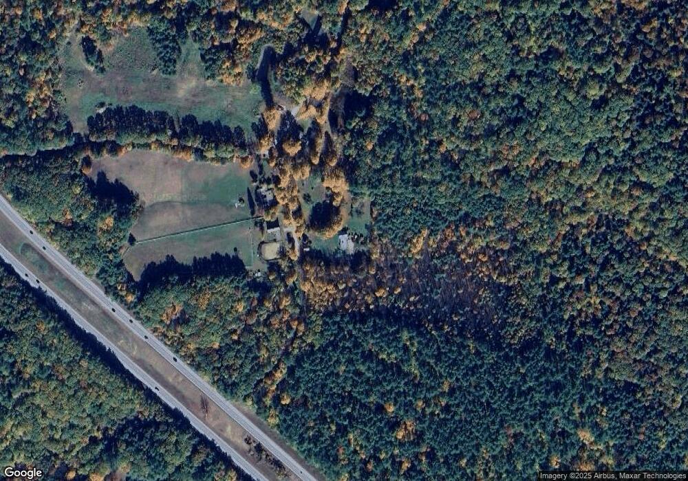
Map
Nearby Homes
- 12 Wolfe Den Dr
- R3 Lot 30 Gordon Hill Rd
- 6 Mansfield Woods Way
- 14 Mansfield Woods Way
- 112 Town House Rd
- 0 Old Bristol Rd Unit 11 5050556
- 80 Pinnacle Ridge Rd
- 00 Pinnacle Ridge Rd
- 82 Jenness Hill Rd
- Lot 20 Smoke Rise Rd
- 216 Jenness Hill Rd
- 42 Smoke Rise Rd
- 76 Edgerly School Rd
- 5 Pemi Shores Condo Rd Unit A
- 2110 Summer St
- Lot 7 Lindsay Ln
- Lot 5 Lindsay Ln
- 41 Baldwin Ave
- 4 Cortland Cir
- 33 Sherene Orchard Rd
- 11 Mulberry Ln
- 147 Pinnacle Hill Rd
- 182 Pinnacle Hill Rd
- 166 Pinnacle Hill Rd
- 171 Pinnacle Hill Rd
- 146 Pinnacle Hill Rd
- L/O Pinnacle Hill Rd
- 202 Pinnacle Hill Rd
- 215 Pinnacle Hill Rd
- 214 Pinnacle Hill Rd
- 155 Pinnacle Hill Rd
- 222 Pinnacle Hill Rd
- 237 Pinnacle Hill Rd
- 41 Hillside Dr
- 225 Main St
- 42 Hillside Dr
- 232 Pinnacle Hill Rd
- 21 Fairway Dr
- 238 Pinnacle Hill Rd
- 38 Hillside Dr