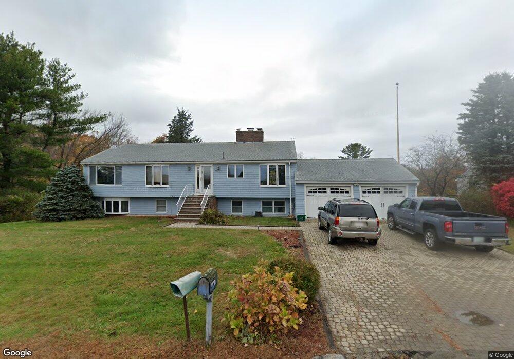
20 Mulholland Dr Ipswich, MA 01938
Estimated Value: $1,071,000 - $1,346,000
4
Beds
3
Baths
4,516
Sq Ft
$263/Sq Ft
Est. Value
About This Home
This home is located at 20 Mulholland Dr, Ipswich, MA 01938 and is currently estimated at $1,188,725, approximately $263 per square foot. 20 Mulholland Dr is a home located in Essex County with nearby schools including Ipswich High School.
Ownership History
Date
Name
Owned For
Owner Type
Purchase Details
Closed on
Oct 10, 2014
Sold by
Jane M Stantial T
Bought by
Boles John H and Bolles Debra
Current Estimated Value
Purchase Details
Closed on
Jan 29, 2003
Sold by
Bolles Debra R and Bolles John H
Bought by
Bolles Debra R
Purchase Details
Closed on
Jan 29, 1998
Sold by
Fowler Dean P and Fowler Marcia J
Bought by
Bolles John H and Bolles Debra R
Create a Home Valuation Report for This Property
The Home Valuation Report is an in-depth analysis detailing your home's value as well as a comparison with similar homes in the area
Home Values in the Area
Average Home Value in this Area
Purchase History
| Date | Buyer | Sale Price | Title Company |
|---|---|---|---|
| Boles John H | $441,000 | -- | |
| Bolles Debra R | -- | -- | |
| Bolles Debra R | -- | -- | |
| Bolles John H | $320,500 | -- | |
| Bolles John H | $320,500 | -- |
Source: Public Records
Mortgage History
| Date | Status | Borrower | Loan Amount |
|---|---|---|---|
| Previous Owner | Bolles John H | $70,000 | |
| Previous Owner | Bolles John H | $321,000 |
Source: Public Records
Tax History Compared to Growth
Tax History
| Year | Tax Paid | Tax Assessment Tax Assessment Total Assessment is a certain percentage of the fair market value that is determined by local assessors to be the total taxable value of land and additions on the property. | Land | Improvement |
|---|---|---|---|---|
| 2025 | $10,475 | $939,500 | $450,900 | $488,600 |
| 2024 | $10,382 | $912,300 | $469,500 | $442,800 |
| 2023 | $10,946 | $895,000 | $469,500 | $425,500 |
| 2022 | $9,911 | $770,700 | $386,500 | $384,200 |
| 2021 | $9,606 | $726,600 | $361,200 | $365,400 |
| 2020 | $9,702 | $692,000 | $353,900 | $338,100 |
| 2019 | $9,709 | $689,100 | $353,900 | $335,200 |
| 2018 | $9,106 | $639,500 | $316,000 | $323,500 |
| 2017 | $8,806 | $620,600 | $307,000 | $313,600 |
| 2016 | $8,485 | $571,400 | $296,200 | $275,200 |
| 2015 | -- | $567,300 | $298,000 | $269,300 |
Source: Public Records
Map
Nearby Homes
- 23 Mulholland Dr
- 22 Little Neck Rd
- 8 Goldfinch Way
- 113 N Ridge Rd
- 63 N Ridge Rd
- 143 Jeffreys Neck Rd
- 18 Northridge Rd
- 4 N Ridge Rd
- 123 Jeffreys Neck Rd
- 15 Eagle Hill Rd
- 23 Jeffrey's Neck Rd
- 50 Jeffreys Neck Rd
- 23 Newmarch St
- 3 Jeffreys Neck Rd
- 11 Spillers Ln
- 4 Agawam Ave
- 7 Highland Ave Unit 9
- 20 Summer St Unit 20
- 54 N Main St
- 29 Summer St Unit 15
- 18 Mulholland Dr
- 22 Mulholland Dr
- 21 Mulholland Dr
- 16 Mulholland Dr
- 24 Mulholland Dr
- 9-11 Mulholland Dr
- 11 Mulholland Dr
- 9 Mulholland Dr
- 17 Mulholland Dr
- 25 Mulholland Dr
- 42 Little Neck Rd
- 14 Mulholland Dr
- 26 Mulholland Dr
- 15 Mulholland Dr
- 27 Mulholland Dr
- 57 Plover Hill Rd
- 12 Mulholland Dr
- 13 Mulholland Dr
- 28 Mulholland Dr
- 55 Plover Hill Rd