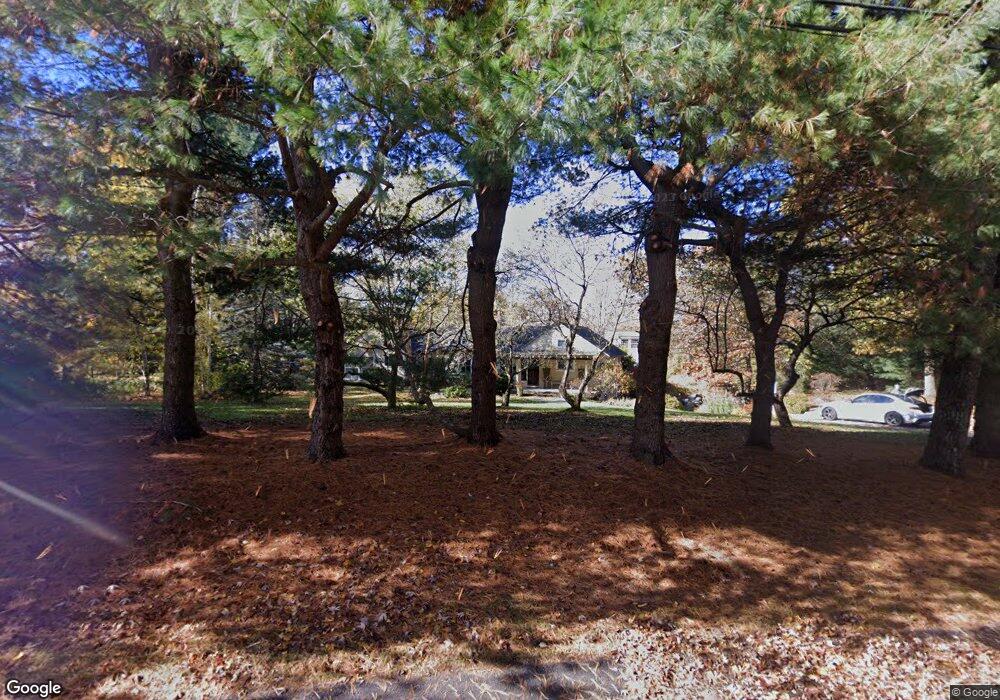
20 Myles Standish Rd Weston, MA 02493
Estimated Value: $1,336,000 - $1,984,603
4
Beds
4
Baths
2,044
Sq Ft
$854/Sq Ft
Est. Value
About This Home
This home is located at 20 Myles Standish Rd, Weston, MA 02493 and is currently estimated at $1,745,401, approximately $853 per square foot. 20 Myles Standish Rd is a home located in Middlesex County with nearby schools including Country Elementary School, Woodland Elementary School, and Weston Middle School.
Ownership History
Date
Name
Owned For
Owner Type
Purchase Details
Closed on
May 9, 2002
Sold by
Scott Robert H and Spencer Diane T
Bought by
Spencer David S and Spencer Julie A
Current Estimated Value
Home Financials for this Owner
Home Financials are based on the most recent Mortgage that was taken out on this home.
Original Mortgage
$580,000
Outstanding Balance
$249,214
Interest Rate
7.18%
Mortgage Type
Purchase Money Mortgage
Estimated Equity
$1,496,187
Purchase Details
Closed on
Jun 1, 2001
Sold by
Orzell Frank R
Bought by
Scott Robert H and Spencer Diane T
Purchase Details
Closed on
Oct 15, 1993
Sold by
Fishman Beth E
Bought by
Orzell Frank R
Home Financials for this Owner
Home Financials are based on the most recent Mortgage that was taken out on this home.
Original Mortgage
$370,000
Interest Rate
6.87%
Mortgage Type
Purchase Money Mortgage
Purchase Details
Closed on
Jul 30, 1987
Sold by
Moulton Stephen
Bought by
Fishman Beth Ellen
Home Financials for this Owner
Home Financials are based on the most recent Mortgage that was taken out on this home.
Original Mortgage
$175,000
Interest Rate
10.43%
Mortgage Type
Purchase Money Mortgage
Create a Home Valuation Report for This Property
The Home Valuation Report is an in-depth analysis detailing your home's value as well as a comparison with similar homes in the area
Home Values in the Area
Average Home Value in this Area
Purchase History
| Date | Buyer | Sale Price | Title Company |
|---|---|---|---|
| Spencer David S | $580,000 | -- | |
| Scott Robert H | $526,000 | -- | |
| Orzell Frank R | $470,000 | -- | |
| Fishman Beth Ellen | $449,000 | -- |
Source: Public Records
Mortgage History
| Date | Status | Borrower | Loan Amount |
|---|---|---|---|
| Open | Spencer David S | $580,000 | |
| Previous Owner | Orzell Frank R | $370,000 | |
| Previous Owner | Fishman Beth Ellen | $175,000 |
Source: Public Records
Tax History Compared to Growth
Tax History
| Year | Tax Paid | Tax Assessment Tax Assessment Total Assessment is a certain percentage of the fair market value that is determined by local assessors to be the total taxable value of land and additions on the property. | Land | Improvement |
|---|---|---|---|---|
| 2025 | $18,242 | $1,643,400 | $974,000 | $669,400 |
| 2024 | $17,510 | $1,574,600 | $974,000 | $600,600 |
| 2023 | $17,399 | $1,469,500 | $974,000 | $495,500 |
| 2022 | $16,781 | $1,310,000 | $932,200 | $377,800 |
| 2021 | $16,202 | $1,248,200 | $884,800 | $363,400 |
| 2020 | $15,762 | $1,228,500 | $884,800 | $343,700 |
| 2019 | $15,415 | $1,224,400 | $884,800 | $339,600 |
| 2018 | $7,302 | $1,228,200 | $884,800 | $343,400 |
| 2017 | $15,230 | $1,228,200 | $884,800 | $343,400 |
| 2016 | $14,982 | $1,232,100 | $884,800 | $347,300 |
| 2015 | $14,062 | $1,145,100 | $843,400 | $301,700 |
Source: Public Records
Map
Nearby Homes
- 12 Myles Standish Rd
- 30 Myles Standish Rd
- 15 Myles Standish Rd
- 351 North Ave
- 29 Myles Standish Rd
- 29 Myles Standish Rd Unit 1
- 347 North Ave
- 2 Myles Standish Rd
- 337 North Ave
- 343 North Ave
- 32 Myles Standish Rd
- 407 Conant Rd
- 1 Myles Standish Rd
- 14 Kings Grant Rd
- 0 Kings Grant
- 37 Myles Standish Rd
- 360 North Ave
- 44 Kings Grant Rd
- 381 Conant Rd
- 348 North Ave