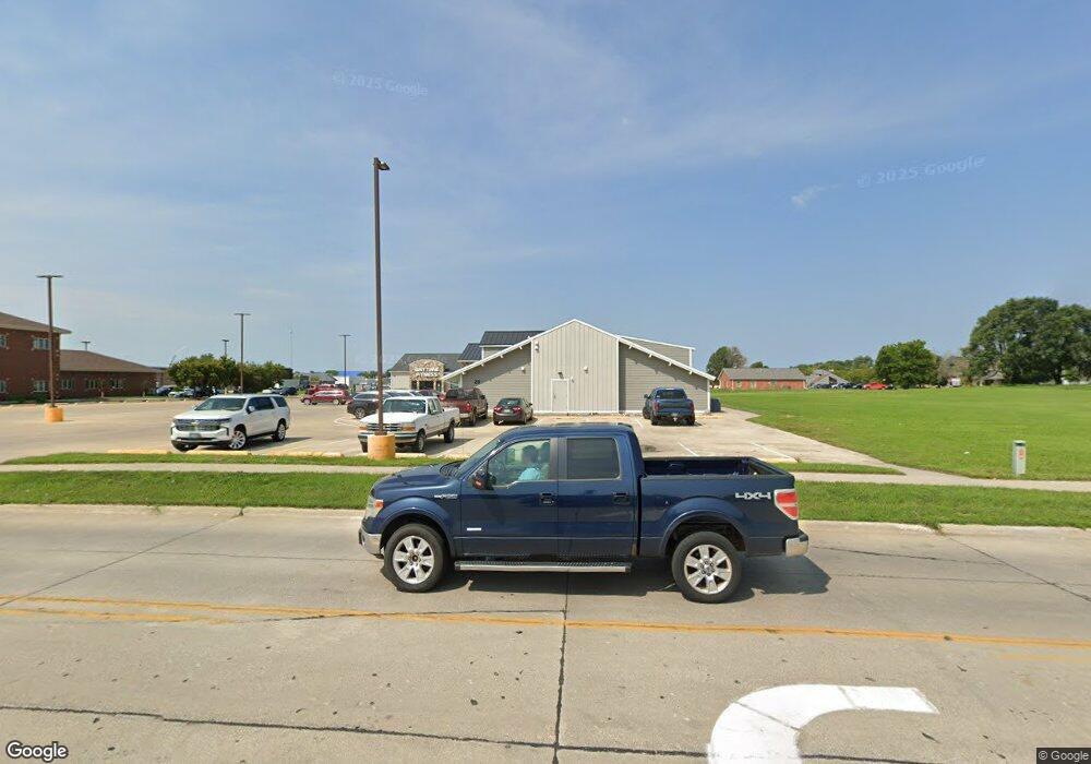
20 N 29th St Fort Dodge, IA 50501
--
Bed
--
Bath
18,452
Sq Ft
1.37
Acres
About This Home
This home is located at 20 N 29th St, Fort Dodge, IA 50501. 20 N 29th St is a home located in Webster County with nearby schools including Cooper Elementary School, Fort Dodge Middle School, and Fort Dodge Senior High School.
Ownership History
Date
Name
Owned For
Owner Type
Purchase Details
Closed on
Jan 15, 2016
Sold by
Madsen David A
Bought by
Mason Real Estate Investment Llc
Home Financials for this Owner
Home Financials are based on the most recent Mortgage that was taken out on this home.
Original Mortgage
$1,500,000
Interest Rate
4.05%
Mortgage Type
Construction
Purchase Details
Closed on
Dec 17, 2015
Sold by
Cnl Apf Partners Lp
Bought by
Madsen David A and David A Madsen Revocable Trust
Home Financials for this Owner
Home Financials are based on the most recent Mortgage that was taken out on this home.
Original Mortgage
$1,500,000
Interest Rate
4.05%
Mortgage Type
Construction
Create a Home Valuation Report for This Property
The Home Valuation Report is an in-depth analysis detailing your home's value as well as a comparison with similar homes in the area
Home Values in the Area
Average Home Value in this Area
Purchase History
| Date | Buyer | Sale Price | Title Company |
|---|---|---|---|
| Mason Real Estate Investment Llc | $425,000 | None Available | |
| Madsen David A | $445,500 | None Available |
Source: Public Records
Mortgage History
| Date | Status | Borrower | Loan Amount |
|---|---|---|---|
| Previous Owner | Mason Real Estate Investment Llc | $1,500,000 |
Source: Public Records
Tax History Compared to Growth
Tax History
| Year | Tax Paid | Tax Assessment Tax Assessment Total Assessment is a certain percentage of the fair market value that is determined by local assessors to be the total taxable value of land and additions on the property. | Land | Improvement |
|---|---|---|---|---|
| 2025 | $86,704 | $1,997,200 | $148,130 | $1,849,070 |
| 2024 | $86,704 | $2,180,350 | $168,870 | $2,011,480 |
| 2023 | $59,810 | $1,912,590 | $148,130 | $1,764,460 |
| 2022 | $57,656 | $1,537,500 | $148,130 | $1,389,370 |
| 2021 | $53,578 | $1,537,500 | $148,130 | $1,389,370 |
| 2020 | $53,578 | $1,427,260 | $88,880 | $1,338,380 |
| 2019 | $52,310 | $1,427,260 | $88,880 | $1,338,380 |
| 2018 | $12,776 | $1,389,870 | $101,320 | $1,288,550 |
| 2017 | $12,776 | $415,240 | $0 | $0 |
| 2016 | $14,957 | $458,200 | $0 | $0 |
| 2015 | $14,640 | $598,970 | $0 | $0 |
| 2014 | $21,004 | $598,970 | $0 | $0 |
Source: Public Records
Map
Nearby Homes
- TBD Lot 8 1st Ave S
- TBD Lot 11 1st Ave S
- TBD Lot 10 1st Ave S
- TBD- Lot 7 1st Ave S
- TBD- Lot 6 1st Ave S
- 2102 2nd Ave N
- 2128 4th Ave N
- 2021 2nd Ave N
- 2101 4th Ave N
- 2003 3rd Ave N
- 1930 2nd Ave N
- 1902 1st Ave N
- 1013 N 24th Place
- 1029 N 24th St
- 1102 Kramme Dr
- 1229 N 29th St
- 1859 8th Ave N
- 1053 N 24th St
- 1122 Cooper Dr
- 1057 N 31st Place