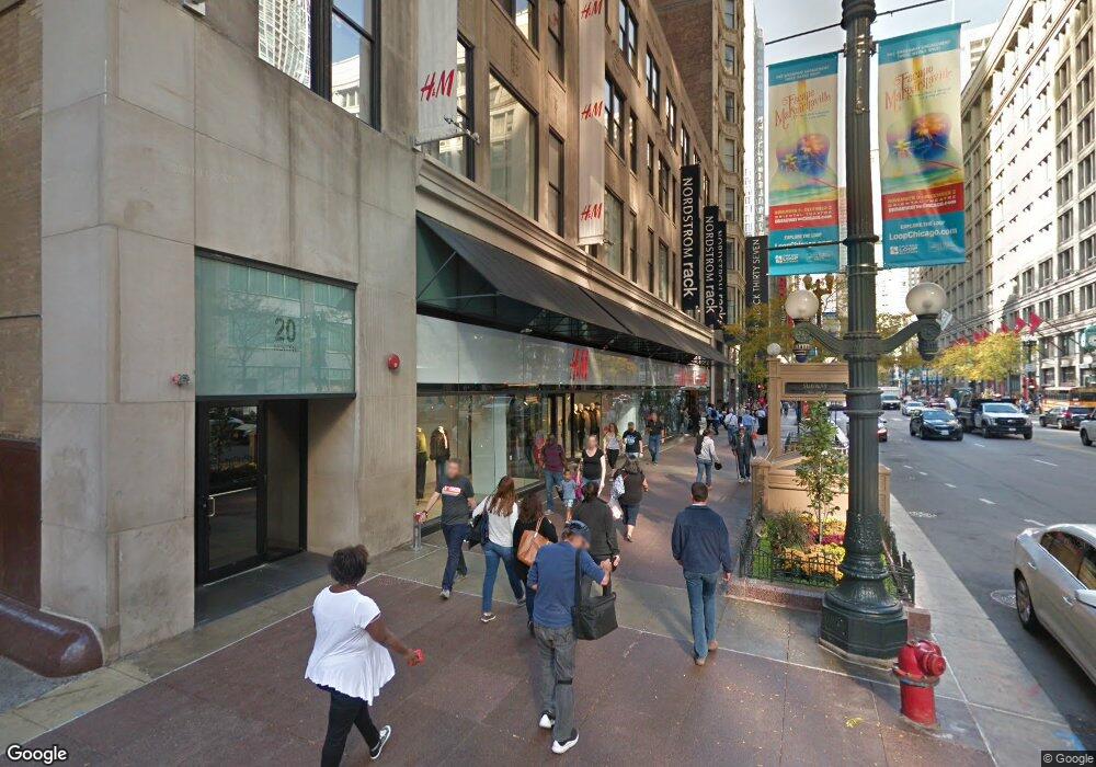
20 N State St, Unit 1011 Chicago, IL 60602
The Loop NeighborhoodEstimated Value: $267,000 - $302,000
1
Bed
--
Bath
740
Sq Ft
$375/Sq Ft
Est. Value
About This Home
This home is located at 20 N State St Unit 1011, Chicago, IL 60602 and is currently estimated at $277,334, approximately $374 per square foot. 20 N State St Unit 1011 is a home located in Cook County with nearby schools including South Loop Elementary School, Wendell Phillips Academy High School, and Chicago International Charter School.
Ownership History
Date
Name
Owned For
Owner Type
Purchase Details
Closed on
Dec 21, 2020
Sold by
Foley Theresa S
Bought by
Rozansky Philip R and The Rozansky Family 2020 Trust
Current Estimated Value
Purchase Details
Closed on
Dec 9, 2020
Sold by
Rozansky Philip R and The Philip R Rozansky Trust
Bought by
Foley Theresa S
Purchase Details
Closed on
May 9, 2005
Sold by
Rozansky Philip R
Bought by
Rozansky Philip R and Philip R Rozansky Trust
Create a Home Valuation Report for This Property
The Home Valuation Report is an in-depth analysis detailing your home's value as well as a comparison with similar homes in the area
Home Values in the Area
Average Home Value in this Area
Purchase History
| Date | Buyer | Sale Price | Title Company |
|---|---|---|---|
| Rozansky Philip R | -- | Attorney | |
| Foley Theresa S | -- | Attorney | |
| Rozansky Philip R | -- | -- |
Source: Public Records
Tax History
| Year | Tax Paid | Tax Assessment Tax Assessment Total Assessment is a certain percentage of the fair market value that is determined by local assessors to be the total taxable value of land and additions on the property. | Land | Improvement |
|---|---|---|---|---|
| 2025 | $5,662 | $25,631 | $7,049 | $18,582 |
| 2024 | $5,662 | $25,631 | $7,049 | $18,582 |
| 2023 | $5,497 | $25,650 | $5,682 | $19,968 |
| 2022 | $5,497 | $25,650 | $5,682 | $19,968 |
| 2021 | $5,368 | $25,648 | $5,681 | $19,967 |
| 2020 | $3,820 | $16,526 | $5,148 | $11,378 |
| 2019 | $3,766 | $17,999 | $5,148 | $12,851 |
| 2018 | $3,701 | $17,999 | $5,148 | $12,851 |
| 2017 | $3,951 | $17,607 | $4,261 | $13,346 |
| 2016 | $3,695 | $17,607 | $4,261 | $13,346 |
| 2015 | $3,389 | $17,607 | $4,261 | $13,346 |
| 2014 | $3,146 | $16,012 | $3,923 | $12,089 |
| 2013 | $3,085 | $16,012 | $3,923 | $12,089 |
Source: Public Records
About This Building
Map
Nearby Homes
- 20 N State St Unit 1014
- 20 N State St Unit 703
- 8 E Randolph St Unit 3108
- 8 E Randolph St Unit 1401
- 8 W Monroe St Unit P-103
- 8 W Monroe St Unit 1410
- 8 W Monroe St Unit 1508
- 8 W Monroe St Unit 607
- 8 W Monroe St Unit P-94
- 8 W Monroe St Unit 507
- 130 N Garland Ct Unit 8-17
- 130 N Garland Ct Unit 1405
- 130 N Garland Ct Unit 3102
- 130 N Garland Ct Unit 7-42
- 130 N Garland Ct Unit 4902
- 130 N Garland Ct Unit 1406
- 130 N Garland Ct Unit 3702
- 130 N Garland Ct Unit 2304
- 130 N Garland Ct Unit 5-73
- 130 N Garland Ct Unit 3403
- 20 N State St Unit 707
- 20 N State St Unit 1008
- 20 N State St Unit 1006
- 20 N State St Unit 1005
- 20 N State St Unit 1001
- 20 N State St Unit 912
- 20 N State St Unit 911
- 20 N State St Unit 907
- 20 N State St Unit 906
- 20 N State St Unit 814
- 20 N State St Unit 813
- 20 N State St Unit 812
- 20 N State St Unit 811
- 20 N State St Unit 803
- 20 N State St Unit 714
- 20 N State St Unit 713
- 20 N State St Unit 613
- 20 N State St Unit 709
- 20 N State St Unit 705
- 20 N State St Unit 704
Your Personal Tour Guide
Ask me questions while you tour the home.