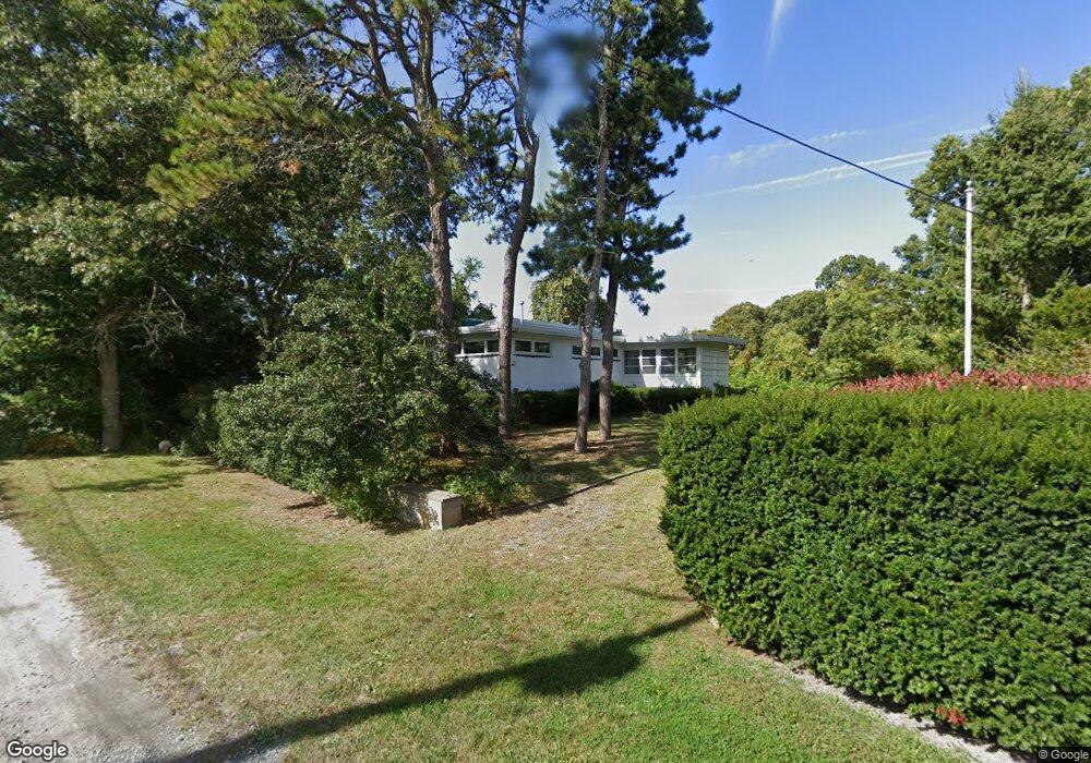
20 Naumkeag Ave Pocasset, MA 2559
Pocasset NeighborhoodEstimated Value: $634,000 - $797,000
2
Beds
1
Bath
776
Sq Ft
$899/Sq Ft
Est. Value
About This Home
This home is located at 20 Naumkeag Ave, Pocasset, MA 2559 and is currently estimated at $697,672, approximately $899 per square foot. 20 Naumkeag Ave is a home located in Barnstable County with nearby schools including Bourne High School and Cadence Academy Preschool - Bourne.
Ownership History
Date
Name
Owned For
Owner Type
Purchase Details
Closed on
Oct 17, 2023
Sold by
Sacco Alba M
Bought by
Sacco Judith P and Sacco Peter J
Current Estimated Value
Purchase Details
Closed on
Oct 17, 2022
Sold by
Sacco Rt and Sacco
Bought by
Sacco Alba M
Purchase Details
Closed on
Apr 15, 2008
Sold by
Sacco Alba Marie and Sacco Rinaldo A
Bought by
Sacco Alba Marie and Sacco Rinaldo A
Create a Home Valuation Report for This Property
The Home Valuation Report is an in-depth analysis detailing your home's value as well as a comparison with similar homes in the area
Home Values in the Area
Average Home Value in this Area
Purchase History
| Date | Buyer | Sale Price | Title Company |
|---|---|---|---|
| Sacco Judith P | -- | None Available | |
| Sacco Judith P | -- | None Available | |
| Sacco Alba M | -- | None Available | |
| Sacco Alba M | -- | None Available | |
| Sacco Alba Marie | -- | -- | |
| Sacco Alba Marie | -- | -- |
Source: Public Records
Tax History Compared to Growth
Tax History
| Year | Tax Paid | Tax Assessment Tax Assessment Total Assessment is a certain percentage of the fair market value that is determined by local assessors to be the total taxable value of land and additions on the property. | Land | Improvement |
|---|---|---|---|---|
| 2025 | $4,492 | $575,100 | $391,200 | $183,900 |
| 2024 | $4,349 | $542,300 | $372,500 | $169,800 |
| 2023 | $4,230 | $480,100 | $329,700 | $150,400 |
| 2022 | $3,814 | $378,000 | $258,600 | $119,400 |
| 2021 | $3,706 | $344,100 | $235,300 | $108,800 |
| 2020 | $3,610 | $336,100 | $233,100 | $103,000 |
| 2019 | $3,473 | $330,400 | $233,100 | $97,300 |
| 2018 | $3,326 | $315,600 | $227,700 | $87,900 |
| 2017 | $3,221 | $312,700 | $225,600 | $87,100 |
| 2016 | $3,021 | $297,300 | $214,300 | $83,000 |
| 2015 | $2,824 | $280,400 | $197,400 | $83,000 |
Source: Public Records
Map
Nearby Homes
- 171 Bellavista Dr
- 22 Nairn Rd
- 34 Kenwood Rd
- 45 Kenwood Rd
- 89 Harbor Dr
- 70 Wings Neck Rd
- 24 Richmond Rd
- 48 Red Brook Harbor Rd
- 3 Red Brook Pond Dr
- 254 Barlows Landing Rd
- 1094 County Rd
- 14 Navajo Rd
- 75 Winsor Rd
- 940 County Rd
- 940 County Rd
- 10 Squeteague Harbor Rd
- 709 County Rd
- 174 Barlows Landing Rd
- 250 Scraggy Neck Rd
- 16 Naumkeag Ave
- 16 Naumkeag Ave
- 12 Naumkeag Ave
- 21 Naumkeag Ave
- 15 Naumkeag Ave
- 10 Naumkeag Ave
- 15 Naumkeag Ave
- 30 Naumkeag Ave
- 39 Penobscot Ave
- 553 Circuit Ave
- 6 Naumkeag Ave
- 14 Pequot Ave
- 39 Naumkeag Ave
- 547 Circuit Ave
- 10 Pequot Ave
- 42 Penobscot Ave
- 24 Pequot Ave
- 4 Naumkeag Ave
- 20 Pequot Ave
- 45 Hope Ave