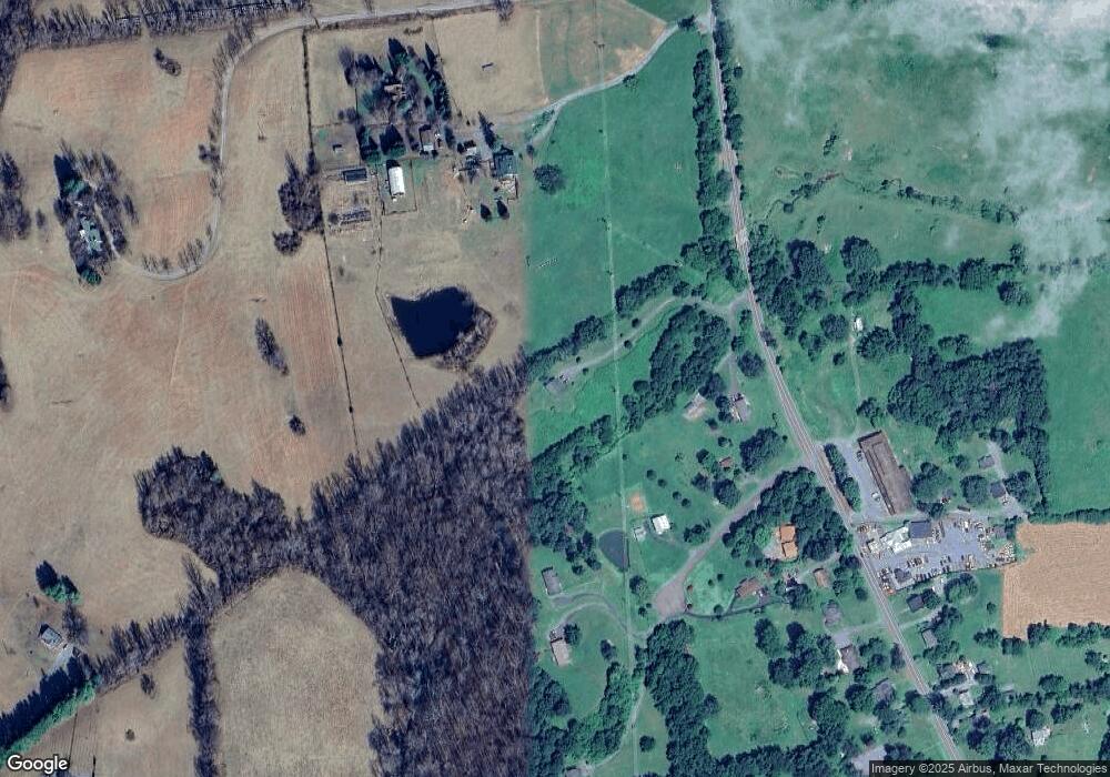
20 Oaklands Ln Flint Hill, VA 22627
Estimated Value: $337,000 - $520,000
4
Beds
4
Baths
2,800
Sq Ft
$166/Sq Ft
Est. Value
About This Home
This home is located at 20 Oaklands Ln, Flint Hill, VA 22627 and is currently estimated at $463,791, approximately $165 per square foot. 20 Oaklands Ln is a home located in Rappahannock County with nearby schools including Rappahannock County Elementary School, Rappahannock County High School, and Wakefield Country Day School.
Ownership History
Date
Name
Owned For
Owner Type
Purchase Details
Closed on
Jun 25, 2009
Sold by
Smith Jon M and Smith Sadie S
Bought by
Oakland Lane Property Llc
Current Estimated Value
Home Financials for this Owner
Home Financials are based on the most recent Mortgage that was taken out on this home.
Original Mortgage
$125,000
Interest Rate
4.92%
Mortgage Type
Purchase Money Mortgage
Purchase Details
Closed on
Aug 18, 2006
Sold by
Smith Jon M and Smith Douglas L
Bought by
Smith Jon M and Smith Sadie S
Create a Home Valuation Report for This Property
The Home Valuation Report is an in-depth analysis detailing your home's value as well as a comparison with similar homes in the area
Home Values in the Area
Average Home Value in this Area
Purchase History
| Date | Buyer | Sale Price | Title Company |
|---|---|---|---|
| Oakland Lane Property Llc | $240,000 | Chicago Title | |
| Smith Jon M | -- | None Available |
Source: Public Records
Mortgage History
| Date | Status | Borrower | Loan Amount |
|---|---|---|---|
| Closed | Oakland Lane Property Llc | $125,000 |
Source: Public Records
Tax History Compared to Growth
Tax History
| Year | Tax Paid | Tax Assessment Tax Assessment Total Assessment is a certain percentage of the fair market value that is determined by local assessors to be the total taxable value of land and additions on the property. | Land | Improvement |
|---|---|---|---|---|
| 2025 | $2,085 | $331,000 | $129,200 | $201,800 |
| 2024 | $2,019 | $331,000 | $129,200 | $201,800 |
| 2023 | $2,019 | $331,000 | $129,200 | $201,800 |
| 2022 | $1,986 | $331,000 | $129,200 | $201,800 |
| 2021 | $2,028 | $277,800 | $109,200 | $168,600 |
| 2020 | $2,028 | $277,800 | $109,200 | $168,600 |
| 2019 | $2,028 | $277,800 | $109,200 | $168,600 |
| 2018 | $1,945 | $277,800 | $109,200 | $168,600 |
| 2017 | $1,945 | $0 | $0 | $0 |
| 2016 | -- | $277,800 | $0 | $0 |
| 2015 | -- | $259,600 | $80,500 | $179,100 |
| 2014 | -- | $259,600 | $80,500 | $179,100 |
Source: Public Records
Map
Nearby Homes
- 675 Zachary Taylor Hwy
- 13886 Crest Hill Rd
- 0 Aileen Rd
- 38 Bear Wallow Rd
- 521 Dearing Rd
- 200 Fogg Mountain Ln
- 63 Riley Hollow Rd
- 156 Bear Wallow Rd
- 18 Bolton Branch Ln
- 0 Woodlands Dr Unit VARP2001854
- 290 Riley Hollow Rd
- 90 Liberty Springs Ln
- 0 Ben Venue Rd Unit VARP2002076
- 18 Old Mill Rd
- 821 Long Mountain Rd
- 609 Main St
- 7 Skyline Ln
- 0 Lee Hwy Unit VARP2002294
- 0 Lee Hwy Unit VACU2011884
- 0 Tiger Valley Rd Unit VARP2002288
- 1 Oaklands Ln
- 6 Oaklands Pond Ln
- 6 Oaklands Pond Ln
- 4 Smith Creek Rd
- 20 Old Kennels Ln
- 23 Sunny Slope Ln
- 7 Smith Creek Rd
- 9 Smith Creek Rd
- 705 Zachary Taylor Hwy
- 38 Sunny Slope Ln
- 701 Zachary Taylor Hwy
- 753 Zachary Taylor Hwy
- 706 Zachary Taylor Hwy
- 22 Smith Creek Rd
- 697 Zachary Taylor Hwy
- 9 Moore Ln
- 698 Zachary Taylor Hwy
- 20 West Ln
- 19 Moore Ln
- 691 Zachary Taylor Hwy
