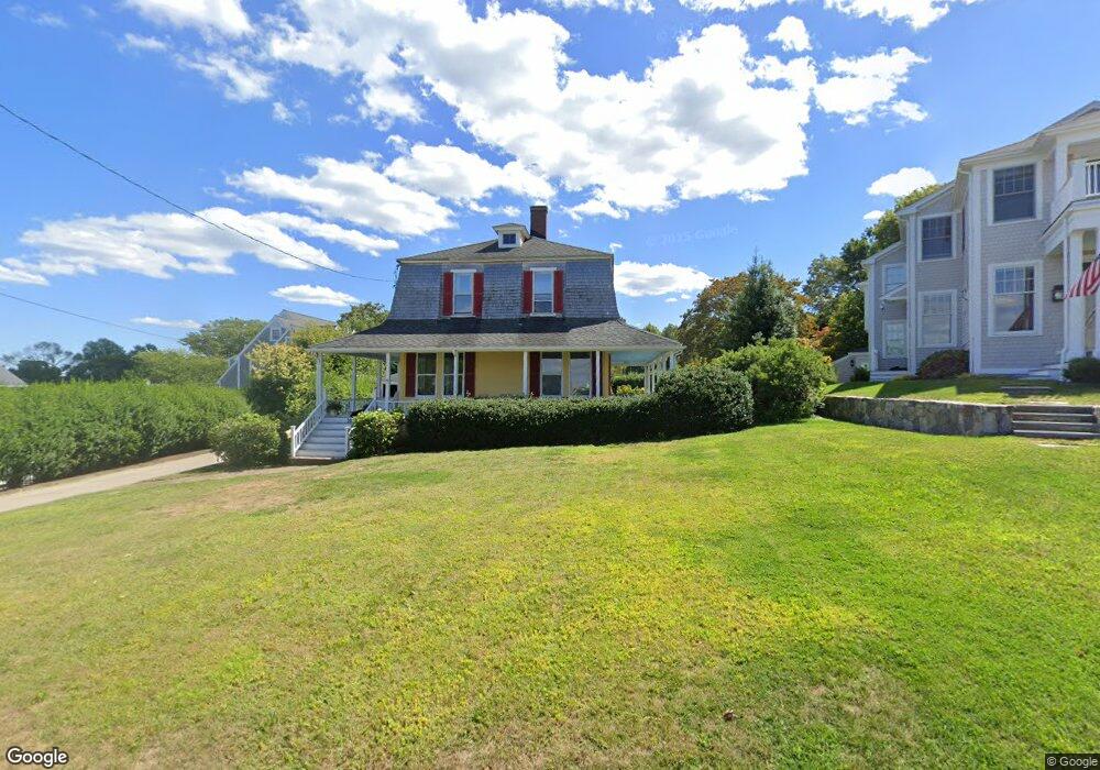
20 Paige St Hingham, MA 02043
Crow Point NeighborhoodEstimated Value: $1,463,000 - $2,035,000
4
Beds
3
Baths
2,128
Sq Ft
$796/Sq Ft
Est. Value
About This Home
This home is located at 20 Paige St, Hingham, MA 02043 and is currently estimated at $1,693,118, approximately $795 per square foot. 20 Paige St is a home located in Plymouth County with nearby schools including William L. Foster Elementary School, Hingham Middle School, and Hingham High School.
Ownership History
Date
Name
Owned For
Owner Type
Purchase Details
Closed on
Sep 24, 2021
Sold by
Yeager Mary L
Bought by
Morris Edward and Morris Nancy
Current Estimated Value
Purchase Details
Closed on
Feb 15, 1976
Bought by
Yeager L Richard and Yeager Mary L
Create a Home Valuation Report for This Property
The Home Valuation Report is an in-depth analysis detailing your home's value as well as a comparison with similar homes in the area
Home Values in the Area
Average Home Value in this Area
Purchase History
We collect this data history from publicly available records. To have your information removed, we recommend requesting removal directly through your county’s website.
| Date | Buyer | Sale Price | Title Company |
|---|---|---|---|
| Morris Edward | $1,495,000 | None Available | |
| Yeager L Richard | $42,500 | -- |
Source: Public Records
Tax History
| Year | Tax Paid | Tax Assessment Tax Assessment Total Assessment is a certain percentage of the fair market value that is determined by local assessors to be the total taxable value of land and additions on the property. | Land | Improvement |
|---|---|---|---|---|
| 2025 | $14,975 | $1,400,800 | $1,001,900 | $398,900 |
| 2024 | $15,103 | $1,392,000 | $1,001,900 | $390,100 |
| 2023 | $13,796 | $1,379,600 | $1,001,900 | $377,700 |
| 2022 | $13,607 | $1,177,100 | $863,700 | $313,400 |
| 2021 | $13,743 | $1,164,700 | $863,700 | $301,000 |
| 2020 | $10,875 | $943,200 | $575,800 | $367,400 |
| 2019 | $11,062 | $936,700 | $575,800 | $360,900 |
| 2018 | $5,163 | $925,900 | $575,800 | $350,100 |
| 2017 | $9,398 | $767,200 | $556,200 | $211,000 |
| 2016 | $9,208 | $737,200 | $529,700 | $207,500 |
| 2015 | $9,109 | $727,000 | $521,400 | $205,600 |
Source: Public Records
Map
Nearby Homes
- 48 Whiton Ave
- 10 Ocean View Dr
- 96 Wompatuck Rd
- 93 Kimball Beach Rd
- 3 Talbot Rd
- 161 Otis St
- 110 Uss Buckley Place
- 110 Uss Buckley Place Unit 2405
- 130 Broad Broad Reach Unit 606
- 54 Lincoln St
- 130 Broad Reach Unit 302
- 130 Broad Reach Unit 406
- 37 Lincoln St
- 33 Lincoln St
- 64 Broad Reach Unit 107
- 54 Broad Reach Unit 104
- 51 Broad Reach Unit M12A
- 73 Broad Reach Unit M61C
- 61 Broad Reach Unit M56B
- 73 Broad Reach Unit M71C
Your Personal Tour Guide
Ask me questions while you tour the home.