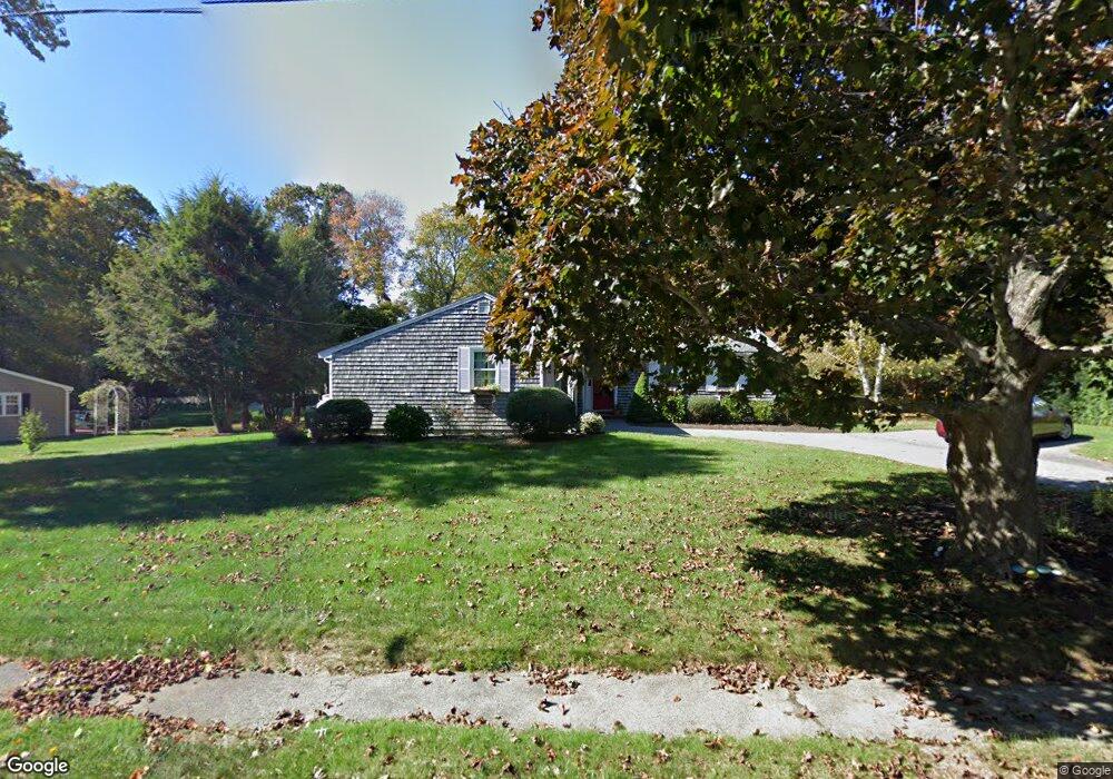
20 Pennfield Rd Scituate, MA 02066
Estimated Value: $751,912 - $802,000
3
Beds
2
Baths
1,206
Sq Ft
$639/Sq Ft
Est. Value
About This Home
This home is located at 20 Pennfield Rd, Scituate, MA 02066 and is currently estimated at $770,728, approximately $639 per square foot. 20 Pennfield Rd is a home located in Plymouth County with nearby schools including Jenkins Elementary School, Lester J. Gates Middle School, and Scituate High School.
Ownership History
Date
Name
Owned For
Owner Type
Purchase Details
Closed on
Dec 28, 2012
Sold by
Mcdonnell Leo J and Mcdonnell Maureen P
Bought by
Mcdonnell Ft
Current Estimated Value
Purchase Details
Closed on
May 27, 1999
Sold by
Bouchie Paul J and Landry Nannette M
Bought by
Mcdonnell Leo J and Mcdonnell Maureen P
Home Financials for this Owner
Home Financials are based on the most recent Mortgage that was taken out on this home.
Original Mortgage
$30,000
Interest Rate
7.02%
Purchase Details
Closed on
May 7, 1992
Sold by
Antenore Paul B and Antenore Nancy L
Bought by
Landry Nannette M
Home Financials for this Owner
Home Financials are based on the most recent Mortgage that was taken out on this home.
Original Mortgage
$148,000
Interest Rate
8.91%
Mortgage Type
Purchase Money Mortgage
Create a Home Valuation Report for This Property
The Home Valuation Report is an in-depth analysis detailing your home's value as well as a comparison with similar homes in the area
Home Values in the Area
Average Home Value in this Area
Purchase History
| Date | Buyer | Sale Price | Title Company |
|---|---|---|---|
| Mcdonnell Ft | -- | -- | |
| Mcdonnell Leo J | $229,000 | -- | |
| Landry Nannette M | $165,000 | -- |
Source: Public Records
Mortgage History
| Date | Status | Borrower | Loan Amount |
|---|---|---|---|
| Previous Owner | Landry Nannette M | $30,000 | |
| Previous Owner | Landry Nannette M | $30,000 | |
| Previous Owner | Landry Nannette M | $147,800 | |
| Previous Owner | Landry Nannette M | $148,000 |
Source: Public Records
Tax History Compared to Growth
Tax History
| Year | Tax Paid | Tax Assessment Tax Assessment Total Assessment is a certain percentage of the fair market value that is determined by local assessors to be the total taxable value of land and additions on the property. | Land | Improvement |
|---|---|---|---|---|
| 2025 | $6,218 | $622,400 | $374,300 | $248,100 |
| 2024 | $6,116 | $590,300 | $340,200 | $250,100 |
| 2023 | $6,275 | $549,000 | $326,500 | $222,500 |
| 2022 | $6,275 | $497,200 | $295,200 | $202,000 |
| 2021 | $6,041 | $453,200 | $281,200 | $172,000 |
| 2020 | $5,778 | $428,000 | $270,300 | $157,700 |
| 2019 | $5,687 | $413,900 | $265,000 | $148,900 |
| 2018 | $5,597 | $401,200 | $276,200 | $125,000 |
| 2017 | $5,498 | $390,200 | $265,200 | $125,000 |
| 2016 | $5,205 | $368,100 | $243,100 | $125,000 |
| 2015 | $4,677 | $357,000 | $232,000 | $125,000 |
Source: Public Records
Map
Nearby Homes
- 111 Elm St
- 115 Elm St
- 74 Tilden Rd
- 18 James Way
- 76 A Brook St
- 76 A Brook St Unit 1
- 290 Beaver Dam Rd
- 50 First Parish Rd
- 148 Tilden Rd
- 67 Greenfield Ln
- 12 Sassamon Rd
- 12 Meeting House Ln Unit 308
- 91 Front St Unit 106
- 59 Greenfield Ln
- 12 Richfield Rd
- 19 Ford Place Unit 3
- 19 Ford Place Unit 1
- 19 Ford Place Unit 4
- 13 Hornbeam Rd
- 32 Fairview Ave