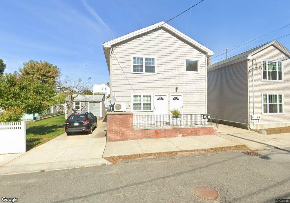
20 Perry St Watertown, MA 02472
West Watertown NeighborhoodEstimated Value: $1,170,000 - $1,383,010
4
Beds
2
Baths
2,704
Sq Ft
$458/Sq Ft
Est. Value
About This Home
This home is located at 20 Perry St, Watertown, MA 02472 and is currently estimated at $1,238,753, approximately $458 per square foot. 20 Perry St is a home located in Middlesex County with nearby schools including The Kendall School and Beacon High School.
Ownership History
Date
Name
Owned For
Owner Type
Purchase Details
Closed on
Jun 21, 2021
Sold by
Digiovanni Fiorella and Miller Rosangela
Bought by
Mmc Holdings Llc
Current Estimated Value
Purchase Details
Closed on
Aug 19, 2020
Sold by
Caloiero Mario
Bought by
Caloiero Mario and Digiovanni Fiorella
Purchase Details
Closed on
Mar 18, 1976
Bought by
Caloiero Mario and Caloiero Maria
Create a Home Valuation Report for This Property
The Home Valuation Report is an in-depth analysis detailing your home's value as well as a comparison with similar homes in the area
Home Values in the Area
Average Home Value in this Area
Purchase History
| Date | Buyer | Sale Price | Title Company |
|---|---|---|---|
| Mmc Holdings Llc | -- | None Available | |
| Mmc Holdings Llc | -- | None Available | |
| Mmc Holdings Llc | -- | None Available | |
| Caloiero Mario | -- | None Available | |
| Caloiero Mario | -- | None Available | |
| Caloiero Mario | -- | None Available | |
| Caloiero Mario | -- | -- |
Source: Public Records
Tax History Compared to Growth
Tax History
| Year | Tax Paid | Tax Assessment Tax Assessment Total Assessment is a certain percentage of the fair market value that is determined by local assessors to be the total taxable value of land and additions on the property. | Land | Improvement |
|---|---|---|---|---|
| 2025 | $12,694 | $1,086,800 | $535,500 | $551,300 |
| 2024 | $11,157 | $953,600 | $521,300 | $432,300 |
| 2023 | $12,574 | $925,900 | $498,600 | $427,300 |
| 2022 | $11,623 | $877,200 | $453,300 | $423,900 |
| 2021 | $10,379 | $847,300 | $438,200 | $409,100 |
| 2020 | $10,000 | $823,700 | $423,100 | $400,600 |
| 2019 | $9,723 | $754,900 | $423,100 | $331,800 |
| 2018 | $9,345 | $693,800 | $392,900 | $300,900 |
| 2017 | $8,955 | $644,700 | $343,800 | $300,900 |
| 2016 | $8,561 | $625,800 | $324,900 | $300,900 |
| 2015 | $7,694 | $511,900 | $287,100 | $224,800 |
| 2014 | $7,375 | $493,000 | $268,200 | $224,800 |
Source: Public Records
Map
Nearby Homes
- 1 Bridgham Ave
- 51 Harrington St Unit 51
- 236 Sycamore St
- 24 Gill Rd Unit 4
- 253 Sycamore St Unit 253
- 914 Belmont St
- 50 Moraine St
- 356 Lexington St
- 57 Pierce Rd Unit 57
- 17 Ripley Rd
- 28 Whitney St
- 3 Waverley St Unit 1
- 99 Beech St
- 26 Ridge Rd
- 31 Grant Ave Unit 33
- 88 Bartlett Ave
- 220 Westminster Ave
- 36 Hollace St
- 38 Carey Ave Unit 3
- 26 Brookfield Rd
- 20 Perry St Unit 1
- 24 Perry St Unit 24
- 24 Perry St Unit 1
- 22 Perry St
- 22 Perry St Unit 22
- 18 Perry St
- 13 Chandler St Unit 15
- 28 Perry St
- 15 Chandler St Unit 15
- 17 Chandler St
- 16 Perry St Unit A
- 16 Perry St
- 16 Perry St Unit 2
- 5 James St
- 25 Perry St
- 11 Chandler St
- 9 Chandler St
- 9 Chandler St Unit 9
- 9 Chandler St Unit 2
- 11 Chandler St Unit 1