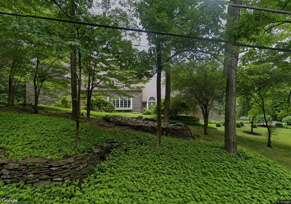
20 Puritan Ct Princeton, NJ 08540
Estimated Value: $2,357,353 - $2,905,000
--
Bed
--
Bath
5,381
Sq Ft
$487/Sq Ft
Est. Value
About This Home
This home is located at 20 Puritan Ct, Princeton, NJ 08540 and is currently estimated at $2,621,118, approximately $487 per square foot. 20 Puritan Ct is a home located in Mercer County with nearby schools including Johnson Park School, Princeton Middle School, and Princeton High School.
Ownership History
Date
Name
Owned For
Owner Type
Purchase Details
Closed on
May 1, 1996
Sold by
Potter Timothy
Bought by
Mulvey John and Mulvey Lauri
Current Estimated Value
Home Financials for this Owner
Home Financials are based on the most recent Mortgage that was taken out on this home.
Original Mortgage
$550,000
Outstanding Balance
$30,824
Interest Rate
7.82%
Estimated Equity
$2,590,294
Create a Home Valuation Report for This Property
The Home Valuation Report is an in-depth analysis detailing your home's value as well as a comparison with similar homes in the area
Home Values in the Area
Average Home Value in this Area
Purchase History
| Date | Buyer | Sale Price | Title Company |
|---|---|---|---|
| Mulvey John | $1,275,000 | -- |
Source: Public Records
Mortgage History
| Date | Status | Borrower | Loan Amount |
|---|---|---|---|
| Open | Mulvey John | $550,000 |
Source: Public Records
Tax History Compared to Growth
Tax History
| Year | Tax Paid | Tax Assessment Tax Assessment Total Assessment is a certain percentage of the fair market value that is determined by local assessors to be the total taxable value of land and additions on the property. | Land | Improvement |
|---|---|---|---|---|
| 2025 | $41,338 | $1,552,300 | $556,500 | $995,800 |
| 2024 | $39,025 | $1,552,300 | $556,500 | $995,800 |
| 2023 | $39,025 | $1,552,300 | $556,500 | $995,800 |
| 2022 | $37,752 | $1,552,300 | $556,500 | $995,800 |
| 2021 | $37,861 | $1,552,300 | $556,500 | $995,800 |
| 2020 | $42,299 | $1,747,900 | $556,500 | $1,191,400 |
| 2019 | $43,370 | $1,828,400 | $637,000 | $1,191,400 |
| 2018 | $42,482 | $1,821,700 | $637,000 | $1,184,700 |
| 2017 | $41,899 | $1,821,700 | $637,000 | $1,184,700 |
| 2016 | $41,243 | $1,821,700 | $637,000 | $1,184,700 |
| 2015 | $39,997 | $1,808,200 | $637,000 | $1,171,200 |
| 2014 | $39,509 | $1,808,200 | $637,000 | $1,171,200 |
Source: Public Records
Map
Nearby Homes
- 94 North Rd
- 116 Hunt Dr
- 18 Winfield Rd
- 14 Walker Dr
- 600 Pretty Brook Rd
- 18 Katies Pond Rd
- 62 Ettl Cir
- 95 Westcott Rd
- 155 Hodge Rd
- 140 Hun Rd
- 240 Library Place
- 1851 Stuart Rd W
- 31 Vreeland Ct
- 192 Bayard Ln
- 188 Bayard Ln
- 176 Bayard Ln
- 189 Constitution Dr
- 13 Hageman Ln
- 21 Bogart Ct
- 149 Highland Terrace
- 2 Puritan Ct
- 34 Puritan Ct
- 3 Puritan Ct
- 237 Wendover Dr
- 29 Puritan Ct
- 201 Wendover Dr
- 220 Wendover Dr
- 253 Wendover Dr
- 271 Brookstone Dr
- 270 Wendover Dr
- 269 Wendover Dr
- 266 Brookstone Dr
- 230 Brookstone Dr Unit 179
- 265 Brookstone Dr
- 285 Wendover Dr
- 90 Brooks Bend
- 228 Brookstone Dr
- 147 Winfield Rd
- 130 Brooks Bend
- 247 Brookstone Dr