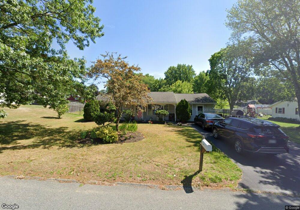
20 Ralph Rd Raynham, MA 02767
Estimated Value: $445,000 - $504,000
3
Beds
1
Bath
1,248
Sq Ft
$387/Sq Ft
Est. Value
About This Home
This home is located at 20 Ralph Rd, Raynham, MA 02767 and is currently estimated at $483,575, approximately $387 per square foot. 20 Ralph Rd is a home located in Bristol County with nearby schools including Merrill Elementary School, LaLiberte Elementary School, and Williams Intermediate School.
Ownership History
Date
Name
Owned For
Owner Type
Purchase Details
Closed on
Feb 27, 1996
Sold by
Belanger David F and Belanger Lind Am
Bought by
Lincoln Brian D and Lincoln Stacey
Current Estimated Value
Home Financials for this Owner
Home Financials are based on the most recent Mortgage that was taken out on this home.
Original Mortgage
$99,000
Interest Rate
7.04%
Mortgage Type
Purchase Money Mortgage
Purchase Details
Closed on
Jun 25, 1992
Sold by
Boston Five Cts Sb
Bought by
Belanger David F and Belanger Linda M
Home Financials for this Owner
Home Financials are based on the most recent Mortgage that was taken out on this home.
Original Mortgage
$87,000
Interest Rate
8.57%
Mortgage Type
Purchase Money Mortgage
Purchase Details
Closed on
Feb 27, 1992
Sold by
Slivia George E
Bought by
Boston Five Cts Sb
Create a Home Valuation Report for This Property
The Home Valuation Report is an in-depth analysis detailing your home's value as well as a comparison with similar homes in the area
Home Values in the Area
Average Home Value in this Area
Purchase History
| Date | Buyer | Sale Price | Title Company |
|---|---|---|---|
| Lincoln Brian D | $110,000 | -- | |
| Belanger David F | $91,500 | -- | |
| Boston Five Cts Sb | $70,000 | -- |
Source: Public Records
Mortgage History
| Date | Status | Borrower | Loan Amount |
|---|---|---|---|
| Open | Boston Five Cts Sb | $122,000 | |
| Closed | Boston Five Cts Sb | $99,000 | |
| Previous Owner | Boston Five Cts Sb | $87,000 |
Source: Public Records
Tax History
| Year | Tax Paid | Tax Assessment Tax Assessment Total Assessment is a certain percentage of the fair market value that is determined by local assessors to be the total taxable value of land and additions on the property. | Land | Improvement |
|---|---|---|---|---|
| 2025 | $4,760 | $393,400 | $209,600 | $183,800 |
| 2024 | $4,523 | $364,200 | $190,600 | $173,600 |
| 2023 | $4,370 | $321,300 | $171,500 | $149,800 |
| 2022 | $4,338 | $292,500 | $162,000 | $130,500 |
| 2021 | $4,082 | $277,900 | $152,500 | $125,400 |
| 2020 | $3,863 | $268,100 | $144,800 | $123,300 |
| 2019 | $3,680 | $258,600 | $135,300 | $123,300 |
| 2018 | $3,631 | $232,500 | $127,700 | $104,800 |
| 2017 | $3,239 | $215,500 | $122,000 | $93,500 |
| 2016 | $3,171 | $211,700 | $118,200 | $93,500 |
| 2015 | $3,164 | $207,600 | $123,100 | $84,500 |
Source: Public Records
Map
Nearby Homes
- 21 Sully Rd
- 30 Edward Rd
- 26 Nottingham Dr
- 53 Queens Cir
- 33 White St
- 935 King St
- 162 Bayberry Rd
- 84 Diniz Dr
- 201 Buck Knoll Rd
- 224 Whippoorwill Dr
- 2 Maplewood Ln Unit 21-1
- 0 Maplewood Unit 21.3 73426136
- 4-B High Ridge Dr
- 75 Warren St W Unit 16
- 35 Spruce St
- 30 Spruce St
- 678 Pine St
- 698 Pine St
- 0 Pine St Unit 73492996
- 5 Jaclyn Way
Your Personal Tour Guide
Ask me questions while you tour the home.