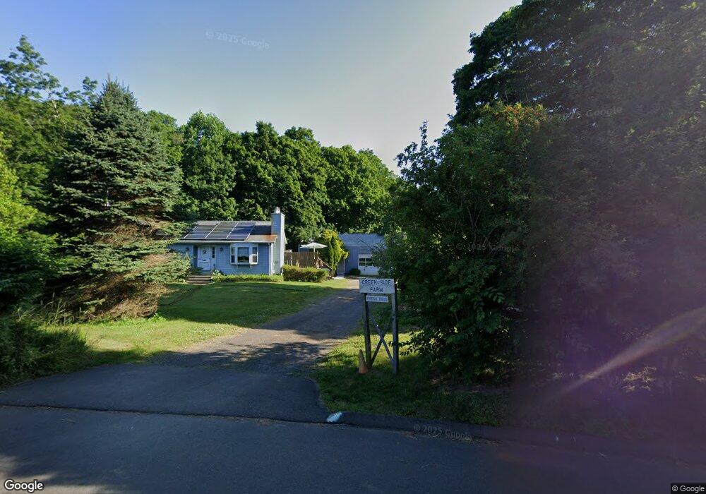
20 Red Hill Rd Branford, CT 06405
Estimated Value: $546,045 - $595,000
3
Beds
3
Baths
1,332
Sq Ft
$428/Sq Ft
Est. Value
About This Home
This home is located at 20 Red Hill Rd, Branford, CT 06405 and is currently estimated at $570,523, approximately $428 per square foot. 20 Red Hill Rd is a home located in New Haven County with nearby schools including Francis Walsh Intermediate School, Branford High School, and East Shoreline Catholic Academy.
Ownership History
Date
Name
Owned For
Owner Type
Purchase Details
Closed on
Dec 5, 2013
Sold by
Oppel Rodney R
Bought by
Oppel Homestead T and Oppel Rodney R
Current Estimated Value
Purchase Details
Closed on
Jan 11, 1985
Bought by
Oppel Rodney R
Create a Home Valuation Report for This Property
The Home Valuation Report is an in-depth analysis detailing your home's value as well as a comparison with similar homes in the area
Home Values in the Area
Average Home Value in this Area
Purchase History
| Date | Buyer | Sale Price | Title Company |
|---|---|---|---|
| Oppel Homestead T | -- | -- | |
| Oppel Rodney R | -- | -- |
Source: Public Records
Mortgage History
| Date | Status | Borrower | Loan Amount |
|---|---|---|---|
| Previous Owner | Oppel Rodney R | $25,000 | |
| Previous Owner | Oppel Rodney R | $82,000 | |
| Previous Owner | Oppel Rodney R | $93,000 | |
| Previous Owner | Oppel Rodney R | $60,000 |
Source: Public Records
Tax History Compared to Growth
Tax History
| Year | Tax Paid | Tax Assessment Tax Assessment Total Assessment is a certain percentage of the fair market value that is determined by local assessors to be the total taxable value of land and additions on the property. | Land | Improvement |
|---|---|---|---|---|
| 2025 | $7,591 | $354,700 | $122,100 | $232,600 |
| 2024 | $6,861 | $225,100 | $106,100 | $119,000 |
| 2023 | $5,987 | $200,300 | $81,300 | $119,000 |
| 2022 | $5,899 | $200,300 | $81,300 | $119,000 |
| 2021 | $5,899 | $200,300 | $81,300 | $119,000 |
| 2020 | $5,793 | $200,300 | $81,300 | $119,000 |
| 2019 | $5,759 | $198,100 | $83,700 | $114,400 |
| 2018 | $5,674 | $198,100 | $83,700 | $114,400 |
| 2017 | $5,640 | $198,100 | $83,700 | $114,400 |
| 2016 | $5,430 | $198,100 | $83,700 | $114,400 |
| 2015 | $5,335 | $198,100 | $83,700 | $114,400 |
| 2014 | $5,403 | $205,900 | $80,200 | $125,700 |
Source: Public Records
Map
Nearby Homes
- 63 Gould Ln
- 0 Gould Ln
- 0 Beechwood Rd
- 525 E Main St Unit 33
- 525 E Main St Unit 23
- 525 E Main St Unit 56
- 525 E Main St Unit 44
- 525 E Main St Unit 8
- 11 School Ground Rd Unit TRLR 10
- 155 Stony Creek Rd
- 312 Leetes Island Rd
- 200 Damascus Rd
- 15 Griffing Pond Rd
- 10 Corbin Cir
- 48 Meadow Wood Rd
- 12 Bowhay Hill Rd
- 40 Kenneth Cir
- LOT #22 Kenneth Cir Unit MAP 77
- 13 Pond View Terrace
- LOT 28B Bruce Ln Unit MAP 83
- 26 Red Hill Rd
- 138 Leetes Island Rd Unit 154
- 131 Leetes Island Rd
- 129 Leetes Island Rd
- 129 Leetes Island Rd
- 30-60 Red Hill Rd
- 90 Leetes Island Rd Unit A
- 90 Leetes Island Rd Unit 122
- 90C Leetes Island Rd
- 90A Leetes Island Rd
- 90B Leetes Island Rd
- 90 Leetes Island Rd Unit B
- 90B Leetes Island Rd Unit B
- 161 Leetes Island Rd Unit 165
- 125 Leetes Island Rd Unit 133
- 133 Leetes Island Rd Unit Bldg 2
- 133 Leetes Island Rd
- 158 Leetes Island Rd
- 93 Leetes Island Rd
- 41 Red Hill Rd