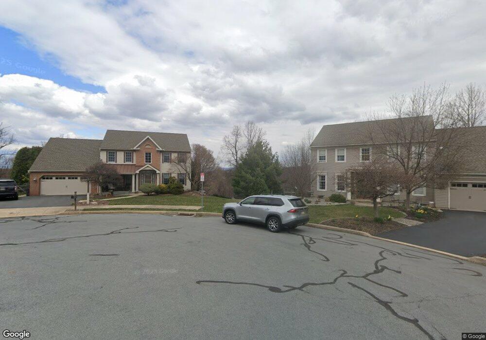
20 Ridge Ct Mohnton, PA 19540
Estimated Value: $540,999 - $593,000
4
Beds
3
Baths
3,359
Sq Ft
$168/Sq Ft
Est. Value
About This Home
This home is located at 20 Ridge Ct, Mohnton, PA 19540 and is currently estimated at $563,500, approximately $167 per square foot. 20 Ridge Ct is a home located in Berks County with nearby schools including Governor Mifflin Intermediate School, Brecknock Elementary School, and Governor Mifflin Middle School.
Ownership History
Date
Name
Owned For
Owner Type
Purchase Details
Closed on
Nov 12, 2004
Sold by
Blessing Robert G and Blessing Mary Jane
Bought by
Messer Richard B and Messer Judy
Current Estimated Value
Home Financials for this Owner
Home Financials are based on the most recent Mortgage that was taken out on this home.
Original Mortgage
$136,000
Interest Rate
5%
Mortgage Type
Purchase Money Mortgage
Create a Home Valuation Report for This Property
The Home Valuation Report is an in-depth analysis detailing your home's value as well as a comparison with similar homes in the area
Home Values in the Area
Average Home Value in this Area
Purchase History
| Date | Buyer | Sale Price | Title Company |
|---|---|---|---|
| Messer Richard B | $295,000 | -- |
Source: Public Records
Mortgage History
| Date | Status | Borrower | Loan Amount |
|---|---|---|---|
| Previous Owner | Messer Richard B | $136,000 | |
| Closed | Messer Richard B | $100,000 |
Source: Public Records
Tax History Compared to Growth
Tax History
| Year | Tax Paid | Tax Assessment Tax Assessment Total Assessment is a certain percentage of the fair market value that is determined by local assessors to be the total taxable value of land and additions on the property. | Land | Improvement |
|---|---|---|---|---|
| 2025 | $3,780 | $226,200 | $61,800 | $164,400 |
| 2024 | $10,291 | $226,200 | $61,800 | $164,400 |
| 2023 | $10,022 | $226,200 | $61,800 | $164,400 |
| 2022 | $9,604 | $226,200 | $61,800 | $164,400 |
| 2021 | $9,491 | $226,200 | $61,800 | $164,400 |
| 2020 | $9,491 | $226,200 | $61,800 | $164,400 |
| 2019 | $9,332 | $226,200 | $61,800 | $164,400 |
| 2018 | $9,134 | $226,200 | $61,800 | $164,400 |
| 2017 | $8,951 | $226,200 | $61,800 | $164,400 |
| 2016 | $2,643 | $226,200 | $61,800 | $164,400 |
| 2015 | $2,643 | $226,200 | $61,800 | $164,400 |
| 2014 | $2,587 | $226,200 | $61,800 | $164,400 |
Source: Public Records
Map
Nearby Homes
- 665 Fairmont Ave
- 614 Wolfe Ln
- 578 Old Lancaster Pike
- 306 Sycamore St
- 1104 Bedford Ave
- 1029 Crestview Ave
- 1018 Crestview Ave
- 206 N Church St
- 611 Maplewood Ave
- 13 E Summit St
- 1750 Gravel Hill Rd
- 28 N Church St
- 52 W Wyomissing Ave
- 26 E Mohn St
- 121 E Summit St
- 5 Charlemont Ct
- 8 Bancroft Terrace Unit 8
- 120 E Wyomissing Ave
- 131 E Wyomissing Ave
- 18 Front St
- 18 Ridge Ct
- 22 Ridge Ct
- 24 Ridge Ct
- 16 Ridge Ct
- 23 Northridge Dr W
- 14 Ridge Ct
- 21 Northridge Dr W
- 12 Ridge Ct
- 19 Northridge Dr W
- 810 Sycamore Rd
- 20 Northridge Dr W
- 808 Sycamore Rd
- 18 Northridge Dr W
- 17 Northridge Dr W
- 10 Ridge Ct
- 812 Sycamore Rd
- 16 Northridge Dr W
- 804 Sycamore Rd
- 105 Lisa Ct
- 3 Ridge Ct