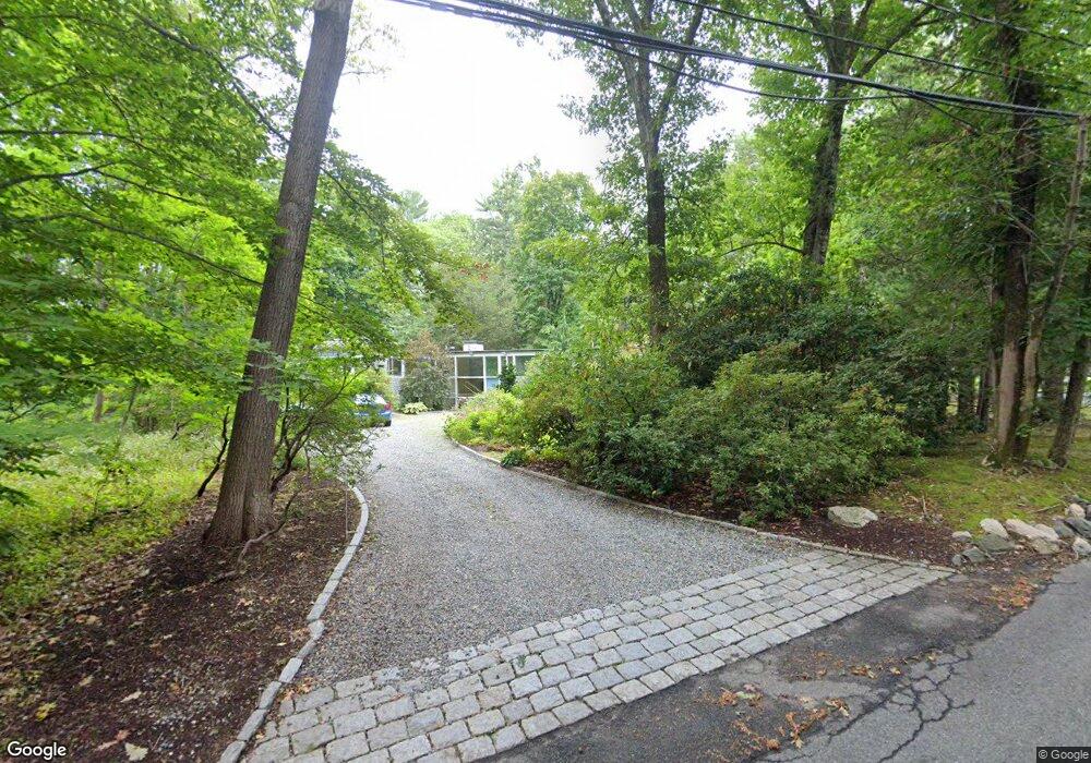
20 Rolling Ln Weston, MA 02493
Estimated Value: $1,801,366 - $2,277,000
5
Beds
3
Baths
2,676
Sq Ft
$746/Sq Ft
Est. Value
About This Home
This home is located at 20 Rolling Ln, Weston, MA 02493 and is currently estimated at $1,996,092, approximately $745 per square foot. 20 Rolling Ln is a home located in Middlesex County with nearby schools including Country Elementary School, Woodland Elementary School, and Field Elementary School.
Ownership History
Date
Name
Owned For
Owner Type
Purchase Details
Closed on
Dec 3, 1999
Sold by
Est Pfaelzer Carter P and Lyon Richard A
Bought by
Bullister Edward T and Frank Joyce F
Current Estimated Value
Home Financials for this Owner
Home Financials are based on the most recent Mortgage that was taken out on this home.
Original Mortgage
$324,000
Interest Rate
7.86%
Mortgage Type
Purchase Money Mortgage
Purchase Details
Closed on
May 12, 1989
Sold by
Heller Edward E
Bought by
Pfaelzer Carter P
Home Financials for this Owner
Home Financials are based on the most recent Mortgage that was taken out on this home.
Original Mortgage
$420,000
Interest Rate
11.14%
Mortgage Type
Purchase Money Mortgage
Create a Home Valuation Report for This Property
The Home Valuation Report is an in-depth analysis detailing your home's value as well as a comparison with similar homes in the area
Home Values in the Area
Average Home Value in this Area
Purchase History
| Date | Buyer | Sale Price | Title Company |
|---|---|---|---|
| Bullister Edward T | $540,000 | -- | |
| Pfaelzer Carter P | $525,000 | -- |
Source: Public Records
Mortgage History
| Date | Status | Borrower | Loan Amount |
|---|---|---|---|
| Open | Pfaelzer Carter P | $278,000 | |
| Closed | Pfaelzer Carter P | $324,000 | |
| Previous Owner | Pfaelzer Carter P | $420,000 |
Source: Public Records
Tax History
| Year | Tax Paid | Tax Assessment Tax Assessment Total Assessment is a certain percentage of the fair market value that is determined by local assessors to be the total taxable value of land and additions on the property. | Land | Improvement |
|---|---|---|---|---|
| 2025 | $15,521 | $1,398,300 | $827,100 | $571,200 |
| 2024 | $14,726 | $1,324,300 | $827,100 | $497,200 |
| 2023 | $14,349 | $1,211,900 | $827,100 | $384,800 |
| 2022 | $13,810 | $1,078,100 | $776,200 | $301,900 |
| 2021 | $8,600 | $1,027,100 | $739,300 | $287,800 |
| 2020 | $12,894 | $1,005,000 | $739,300 | $265,700 |
| 2019 | $11,972 | $950,900 | $688,000 | $262,900 |
| 2018 | $11,896 | $950,900 | $688,000 | $262,900 |
| 2017 | $4,399 | $948,600 | $688,000 | $260,600 |
| 2016 | $11,535 | $948,600 | $688,000 | $260,600 |
| 2015 | $11,148 | $907,800 | $655,100 | $252,700 |
Source: Public Records
Map
Nearby Homes
- 30 Rolling Ln
- 10 Rolling Ln
- 27 Rolling Ln
- 19 Rolling Ln
- 1 Rolling Ln
- 1 Rolling Ln
- 36 Rolling Ln
- 23 Rolling Ln
- 8 Rolling Ln
- 33 Rolling Ln
- 11 Rolling Ln
- 42 Rolling Ln
- 25 Rolling Ln
- 43 Rolling Ln
- 214 Boston Post Rd
- 193 Boston Post Rd
- 216 Boston Post Rd
- 29 Summer St
- 178 Boston Post Rd
- 218 Boston Post Rd
Your Personal Tour Guide
Ask me questions while you tour the home.