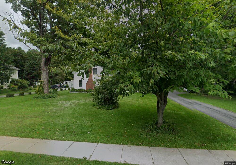
20 Route 12 Hartland, VT 05048
Estimated Value: $392,000
4
Beds
2
Baths
2,226
Sq Ft
$176/Sq Ft
Est. Value
About This Home
This home is located at 20 Route 12, Hartland, VT 05048 and is currently estimated at $392,000, approximately $176 per square foot. 20 Route 12 is a home with nearby schools including Hartland Elementary School.
Ownership History
Date
Name
Owned For
Owner Type
Purchase Details
Closed on
Sep 5, 2018
Sold by
1994 Inter Vivos Joint Trust Agreement O
Bought by
Farnham Jessica F and Farnham Stuart B
Current Estimated Value
Create a Home Valuation Report for This Property
The Home Valuation Report is an in-depth analysis detailing your home's value as well as a comparison with similar homes in the area
Home Values in the Area
Average Home Value in this Area
Purchase History
| Date | Buyer | Sale Price | Title Company |
|---|---|---|---|
| Farnham Jessica F | $279,000 | -- | |
| Farnham Jessica F | $279,000 | -- |
Source: Public Records
Tax History Compared to Growth
Tax History
| Year | Tax Paid | Tax Assessment Tax Assessment Total Assessment is a certain percentage of the fair market value that is determined by local assessors to be the total taxable value of land and additions on the property. | Land | Improvement |
|---|---|---|---|---|
| 2024 | $9,417 | $348,400 | $95,200 | $253,200 |
| 2023 | $6,333 | $348,400 | $95,200 | $253,200 |
| 2022 | $7,920 | $340,900 | $95,200 | $245,700 |
| 2021 | $7,936 | $340,900 | $95,200 | $245,700 |
| 2020 | $7,830 | $340,900 | $95,200 | $245,700 |
| 2019 | $5,299 | $265,200 | $95,200 | $170,000 |
| 2018 | $5,466 | $270,500 | $70,700 | $199,800 |
| 2016 | $5,289 | $270,500 | $70,700 | $199,800 |
Source: Public Records
Map
Nearby Homes
- 10 Bischoff Ln
- 6 Blodgett Ln
- 14 Summarsell Dr Unit 16
- 89 Route 12
- 3 MacE Hill Rd
- 56 Mount Hunger Rd
- 0 Freeman Rd Unit 22
- 16 Nh Route 12a
- 1507 Route 12a
- 1118 New Hampshire 12a
- 3361 County Rd
- 282 Skunk Hollow Rd
- 152 Webster Rd
- 846 New Hampshire 12a
- 2545 County Rd
- 66 Webster Rd
- 00 Nh Route 12a Unit 7
- 25 Independent Dr
- 161 Saint Gaudens Rd
- 58 Morningside Dr