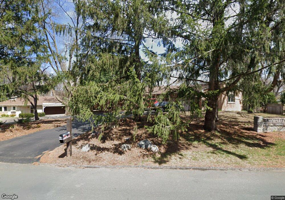
20 Sandy Hook Rd Chanhassen, MN 55317
Estimated Value: $659,406 - $739,000
5
Beds
3
Baths
2,278
Sq Ft
$307/Sq Ft
Est. Value
About This Home
This home is located at 20 Sandy Hook Rd, Chanhassen, MN 55317 and is currently estimated at $699,602, approximately $307 per square foot. 20 Sandy Hook Rd is a home located in Carver County with nearby schools including Clear Springs Elementary School, Minnetonka West Middle School, and Minnetonka Senior High School.
Ownership History
Date
Name
Owned For
Owner Type
Purchase Details
Closed on
Dec 20, 2024
Sold by
Narem Family Irrevocable Trust and Narem Nathaniel
Bought by
Narem Nathaniel and Cote Janelle
Current Estimated Value
Purchase Details
Closed on
Aug 15, 2023
Sold by
Narem Leon and Narem Marilu
Bought by
State Of Minnesota
Create a Home Valuation Report for This Property
The Home Valuation Report is an in-depth analysis detailing your home's value as well as a comparison with similar homes in the area
Home Values in the Area
Average Home Value in this Area
Purchase History
| Date | Buyer | Sale Price | Title Company |
|---|---|---|---|
| Narem Nathaniel | $645,000 | -- | |
| Narem Family Irrevocable Trust | $500 | None Listed On Document | |
| State Of Minnesota | $1,830 | None Listed On Document |
Source: Public Records
Tax History Compared to Growth
Tax History
| Year | Tax Paid | Tax Assessment Tax Assessment Total Assessment is a certain percentage of the fair market value that is determined by local assessors to be the total taxable value of land and additions on the property. | Land | Improvement |
|---|---|---|---|---|
| 2025 | $6,522 | $620,100 | $190,000 | $430,100 |
| 2024 | $6,290 | $593,600 | $175,800 | $417,800 |
| 2023 | $6,090 | $589,100 | $175,800 | $413,300 |
| 2022 | $5,956 | $575,100 | $175,300 | $399,800 |
| 2021 | $6,300 | $511,000 | $146,000 | $365,000 |
| 2020 | $6,352 | $505,000 | $146,000 | $359,000 |
| 2019 | $6,130 | $479,100 | $139,100 | $340,000 |
| 2018 | $5,836 | $479,100 | $139,100 | $340,000 |
| 2017 | $5,850 | $449,800 | $126,500 | $323,300 |
| 2016 | $5,556 | $416,100 | $0 | $0 |
| 2015 | $5,614 | $415,200 | $0 | $0 |
| 2014 | $5,614 | $385,600 | $0 | $0 |
Source: Public Records
Map
Nearby Homes
- 7080 Quail Cir
- 18752 Kristie Ln
- 18863 Broadmoore Dr
- 6620 Horseshoe Curve
- 7490 Chanhassen Rd
- 601 Fox Hill Dr
- 450 Indian Hill Rd
- 460 Indian Hill Rd
- 7182 Emerald Ln
- 7602 Erie Ave
- 7406 Laredo Dr
- 970 Pleasantview Rd
- 18890 Barrington Dr
- 760 Bighorn Dr
- 6310 Stag Horn Ln
- 303 W 77th St
- 7239 Bren Ln
- 17627 W 67th St
- 834 Cree Dr
- 6260 Wessel Ct
- TBD Conifer Trail
- 50 Sandy Hook Rd
- 7000 Sandy Hook Cir
- 31 Sandy Hook Rd
- 6991 W 192nd Ave
- 7003 Sandy Hook Cir
- 7002 Sandy Hook Cir
- 6971 6971 192nd Ave W
- 6971 6971 192nd-Avenue-w
- 6971 W 192nd Ave
- 19207 Lotus View Dr
- 61 Sandy Hook Rd
- 7005 Sandy Hook Cir
- 7017 Sandy Hook Cir
- 6951 W 192nd Ave
- 19070 Lotus View Dr
- 7004 Sandy Hook Cir
- 19155 Maple Leaf Dr
- 7015 Sandy Hook Cir
- 7007 Sandy Hook Cir