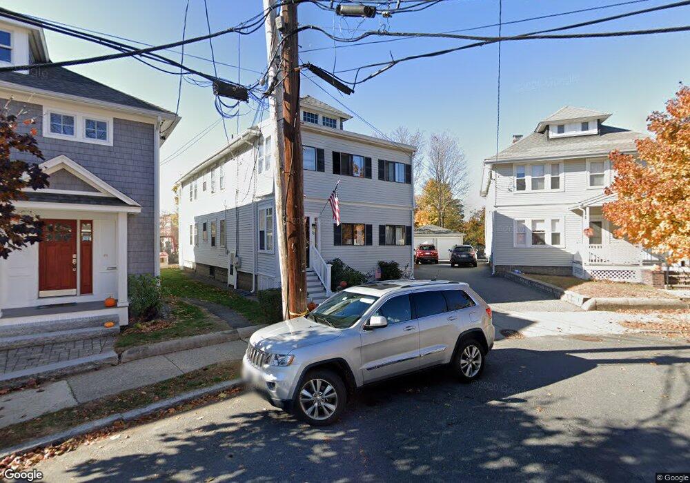
20 Sherborn St Unit 22 Arlington, MA 02474
Arlington Center NeighborhoodEstimated Value: $1,160,000 - $1,312,000
4
Beds
2
Baths
2,250
Sq Ft
$546/Sq Ft
Est. Value
About This Home
This home is located at 20 Sherborn St Unit 22, Arlington, MA 02474 and is currently estimated at $1,228,285, approximately $545 per square foot. 20 Sherborn St Unit 22 is a home located in Middlesex County with nearby schools including Thompson School, Ottoson Middle School, and Arlington High School.
Ownership History
Date
Name
Owned For
Owner Type
Purchase Details
Closed on
Jun 2, 2016
Sold by
Ferreira Mary O
Bought by
Ferreira Mary O and Diggs Charles D
Current Estimated Value
Purchase Details
Closed on
Jun 1, 1986
Bought by
Flynn Paul T and Dolan-Flynn Denise
Create a Home Valuation Report for This Property
The Home Valuation Report is an in-depth analysis detailing your home's value as well as a comparison with similar homes in the area
Home Values in the Area
Average Home Value in this Area
Purchase History
| Date | Buyer | Sale Price | Title Company |
|---|---|---|---|
| Ferreira Mary O | -- | -- | |
| Flynn Paul T | $218,000 | -- |
Source: Public Records
Mortgage History
| Date | Status | Borrower | Loan Amount |
|---|---|---|---|
| Previous Owner | Flynn Paul T | $150,000 | |
| Previous Owner | Flynn Paul T | $148,000 | |
| Previous Owner | Flynn Paul T | $148,000 |
Source: Public Records
Tax History Compared to Growth
Tax History
| Year | Tax Paid | Tax Assessment Tax Assessment Total Assessment is a certain percentage of the fair market value that is determined by local assessors to be the total taxable value of land and additions on the property. | Land | Improvement |
|---|---|---|---|---|
| 2025 | $11,265 | $1,046,000 | $561,000 | $485,000 |
| 2024 | $10,411 | $983,100 | $534,000 | $449,100 |
| 2023 | $10,411 | $928,700 | $447,700 | $481,000 |
| 2022 | $10,373 | $908,300 | $431,500 | $476,800 |
| 2021 | $10,061 | $887,200 | $431,500 | $455,700 |
| 2020 | $9,815 | $887,400 | $431,500 | $455,900 |
| 2019 | $8,926 | $792,700 | $458,500 | $334,200 |
| 2018 | $8,110 | $668,600 | $334,400 | $334,200 |
| 2017 | $7,605 | $605,500 | $291,300 | $314,200 |
| 2016 | $7,197 | $562,300 | $248,100 | $314,200 |
| 2015 | $7,100 | $524,000 | $242,700 | $281,300 |
Source: Public Records
Map
Nearby Homes
- 167 Franklin St Unit 167
- 97 Mystic St Unit B
- 41 Palmer St Unit 43
- 77 Warren St Unit A
- 3 Victoria Rd Unit 3
- 3 Victoria Rd Unit 5
- 0 Jerome St Unit 72734260
- 94 Rawson Rd Unit 94
- 132 Rawson Rd Unit 132
- 69 Arlington St
- 7 Court Street Place Unit 7
- 29 Dartmouth St Unit 29
- 42-44 Warren St Unit 42
- 31 Sharon St
- 25-27 Adams St
- 7 Mill St Unit 7
- 51 Sagamore Ave
- 23 Yale Rd
- 35 Grove St
- 18 Belknap St Unit 2
- 26 Sherborn St
- 24 Sherborn St Unit 24
- 24 Sherborn St Unit 1
- 24 Sherborn St
- 16 Sherborn St
- 28 Sherborn St Unit 30
- 31 Sherborn St
- 32 Sherborn St Unit 32
- 32 Sherborn St Unit 34
- 34 Sherborn St Unit 34
- 98 Medford St
- 36 Sherborn St Unit 38
- 35 Sherborn St
- 104 Medford St
- 41 Sherborn St
- 39 Sherborn St
- 39 Sherborn St Unit 39
- 39 Sherborn St Unit 1
- 40 Sherborn St Unit 42
- 112 Medford St Unit 112