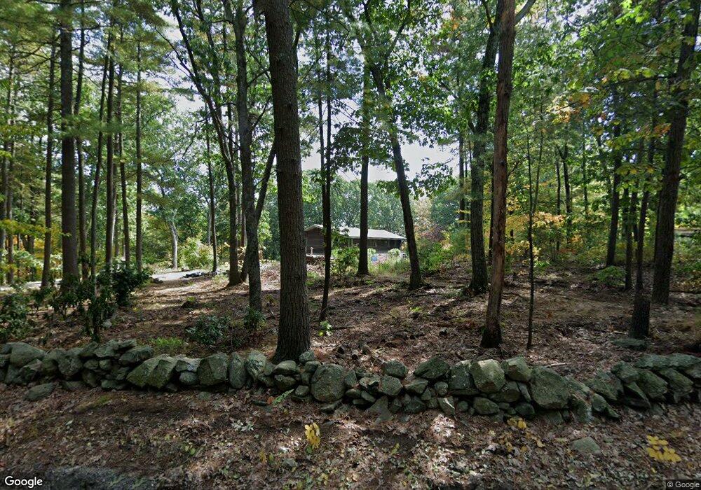
20 Sherry Rd Harvard, MA 01451
Estimated Value: $703,000 - $1,059,000
3
Beds
4
Baths
2,156
Sq Ft
$396/Sq Ft
Est. Value
About This Home
This home is located at 20 Sherry Rd, Harvard, MA 01451 and is currently estimated at $853,621, approximately $395 per square foot. 20 Sherry Rd is a home located in Worcester County with nearby schools including Hildreth Elementary School and The Bromfield School.
Ownership History
Date
Name
Owned For
Owner Type
Purchase Details
Closed on
Mar 27, 1990
Sold by
Moorby Philip
Bought by
Feddersen Jeffrey
Current Estimated Value
Home Financials for this Owner
Home Financials are based on the most recent Mortgage that was taken out on this home.
Original Mortgage
$159,800
Interest Rate
10.15%
Mortgage Type
Purchase Money Mortgage
Create a Home Valuation Report for This Property
The Home Valuation Report is an in-depth analysis detailing your home's value as well as a comparison with similar homes in the area
Home Values in the Area
Average Home Value in this Area
Purchase History
| Date | Buyer | Sale Price | Title Company |
|---|---|---|---|
| Feddersen Jeffrey | $188,000 | -- |
Source: Public Records
Mortgage History
| Date | Status | Borrower | Loan Amount |
|---|---|---|---|
| Open | Feddersen Jeffrey | $211,250 | |
| Closed | Feddersen Jeffrey | $159,800 |
Source: Public Records
Tax History
| Year | Tax Paid | Tax Assessment Tax Assessment Total Assessment is a certain percentage of the fair market value that is determined by local assessors to be the total taxable value of land and additions on the property. | Land | Improvement |
|---|---|---|---|---|
| 2025 | $11,429 | $730,300 | $270,400 | $459,900 |
| 2024 | $11,118 | $746,200 | $270,400 | $475,800 |
| 2023 | $10,728 | $645,900 | $250,500 | $395,400 |
| 2022 | $10,821 | $604,200 | $236,800 | $367,400 |
| 2021 | $4,662 | $570,600 | $236,800 | $333,800 |
| 2020 | $4,985 | $538,400 | $236,800 | $301,600 |
| 2019 | $8,449 | $485,000 | $236,800 | $248,200 |
| 2018 | $7,963 | $464,300 | $236,800 | $227,500 |
| 2017 | $5,764 | $403,300 | $196,800 | $206,500 |
| 2016 | $7,200 | $398,900 | $196,800 | $202,100 |
| 2015 | $7,185 | $403,900 | $192,800 | $211,100 |
| 2014 | $6,903 | $403,900 | $192,800 | $211,100 |
Source: Public Records
Map
Nearby Homes
- 220 Swanson Rd Unit 605
- 220 Swanson Rd Unit 606
- 220 Swanson Rd Unit 604
- 53 Swanson Ct Unit 24C
- 15 Spencer Rd Unit 12E
- 276 Codman Hill Rd Unit 36A
- 310 Codman Hill Rd Unit 35D
- 8 Woodchuck Hill Rd
- 4 Old Meadow Ln
- 79 Old Orchard Ln
- 959 Hill Rd
- 23 Tahanto Trail
- 20 Lyons Ln Unit 20
- 77 Wheeler Dr Unit 77
- 14 Pine Hill Way
- 19 Partridge Hill Rd
- 13 Pine Hill Way
- 18 B Pine Hill Way Unit BB
- 36 Leonard Rd
- 21 Woodside Rd
- 14 Sherry Rd
- 22 Sherry Rd
- 241 Mass Ave
- 23 Sherry Rd
- 23 Sherry Rd Unit 23
- 26 Sherry Rd
- 243 Mass Ave
- 17 Sherry Rd
- 21 Sherry Rd
- 249 Mass Ave
- 6 Sherry Rd
- 234 Mass Ave
- 1 Sherry Rd
- 1 Littleton County Rd
- 140 Swanson Rd Unit 424
- 140 Swanson Rd Unit 423
- 140 Swanson Rd Unit 422
- 140 Swanson Rd Unit 421
- 140 Swanson Rd Unit 420
- 140 Swanson Rd Unit 419
Your Personal Tour Guide
Ask me questions while you tour the home.