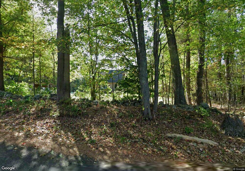
20 Simond Hill Rd Hubbardston, MA 01452
Estimated Value: $424,751 - $510,000
2
Beds
3
Baths
1,512
Sq Ft
$315/Sq Ft
Est. Value
About This Home
This home is located at 20 Simond Hill Rd, Hubbardston, MA 01452 and is currently estimated at $475,938, approximately $314 per square foot. 20 Simond Hill Rd is a home located in Worcester County with nearby schools including Quabbin Regional Middle School and Quabbin Regional High School.
Ownership History
Date
Name
Owned For
Owner Type
Purchase Details
Closed on
Oct 15, 2020
Sold by
Giglio Chris P and Giglio Lisa A
Bought by
Lisa & Chris Giglio Lt
Current Estimated Value
Purchase Details
Closed on
Jan 13, 2017
Sold by
Kimbar Paul F and Kimbar Wendy A
Bought by
Noel Tyler and Noel Linley A
Home Financials for this Owner
Home Financials are based on the most recent Mortgage that was taken out on this home.
Original Mortgage
$213,750
Interest Rate
4.08%
Mortgage Type
New Conventional
Purchase Details
Closed on
Feb 23, 1995
Sold by
Boyle Scott M and Boyle Maureen
Bought by
Giglio Chris P and Giglio Lisa
Purchase Details
Closed on
Dec 11, 1990
Sold by
G & D Realty Inc
Bought by
Boyle Scott M
Create a Home Valuation Report for This Property
The Home Valuation Report is an in-depth analysis detailing your home's value as well as a comparison with similar homes in the area
Home Values in the Area
Average Home Value in this Area
Purchase History
| Date | Buyer | Sale Price | Title Company |
|---|---|---|---|
| Lisa & Chris Giglio Lt | -- | None Available | |
| Noel Tyler | $225,000 | -- | |
| Giglio Chris P | $115,000 | -- | |
| Boyle Scott M | $130,195 | -- |
Source: Public Records
Mortgage History
| Date | Status | Borrower | Loan Amount |
|---|---|---|---|
| Previous Owner | Noel Tyler | $213,750 | |
| Previous Owner | Boyle Scott M | $40,000 | |
| Previous Owner | Boyle Scott M | $137,000 |
Source: Public Records
Tax History Compared to Growth
Tax History
| Year | Tax Paid | Tax Assessment Tax Assessment Total Assessment is a certain percentage of the fair market value that is determined by local assessors to be the total taxable value of land and additions on the property. | Land | Improvement |
|---|---|---|---|---|
| 2025 | $4,113 | $352,100 | $49,600 | $302,500 |
| 2024 | $3,928 | $333,200 | $44,900 | $288,300 |
| 2023 | $3,612 | $277,200 | $39,300 | $237,900 |
| 2022 | $3,881 | $277,200 | $39,300 | $237,900 |
| 2021 | $3,439 | $232,200 | $39,300 | $192,900 |
| 2020 | $3,388 | $228,600 | $39,300 | $189,300 |
| 2019 | $3,307 | $217,300 | $53,700 | $163,600 |
| 2018 | $3,147 | $208,000 | $53,700 | $154,300 |
| 2017 | $3,168 | $208,000 | $53,700 | $154,300 |
| 2016 | $3,043 | $191,400 | $53,700 | $137,700 |
| 2015 | $3,008 | $201,600 | $53,700 | $147,900 |
| 2014 | $2,874 | $197,900 | $53,700 | $144,200 |
Source: Public Records
Map
Nearby Homes
- 1 Barre Road Cut Off
- 75 Barre Rd
- 56 Hubbardston Rd
- Lot 0 Old Westminster Rd
- 7 Williamsville Rd
- 63 Gardner Rd
- 105 Hale Rd
- 81 Glenwood Place
- 271 Glenwood Rd
- 2 Simon Davis Dr
- 35 Brintnal Dr
- 175 Glenwood Rd
- 73 Brintnal Dr
- 134 Mountain Rd
- 101 Brintnal Dr
- 166 Ball Hill Rd
- 207 W Princeton Rd
- 40 Brunelle Dr
- 20 Mountain Rd
- 62 Bolton Rd Unit Applewood
- 50 Simonds Hill Rd
- 18 Simonds Hill Rd
- 21 Simonds Hill Rd
- 21 Simond Hill Rd
- 23 Simond Hill Rd
- 24 Simonds Hill Rd
- 16 Simond Hill Rd
- 19 Simond Hill Rd
- 19 Simond Hill Rd
- Lot 1B Simond Hill Rd
- 26 Simonds Hill Rd
- 25 Simonds Hill Rd
- 17 Simond Hill Rd
- 12 Simond Hill Rd
- 29 Simond Hill Rd
- 30 Simond Hill Rd
- 31 Simonds Hill Rd
- 104 Old Princeton Rd
- 102 Old Princeton Rd
- 9 Simond Hill Rd