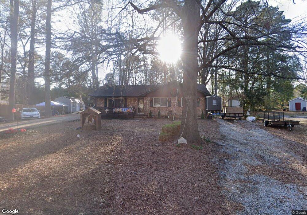
20 Sinnott Cir Durham, NC 27713
South Durham NeighborhoodEstimated Value: $332,251 - $372,000
3
Beds
2
Baths
1,250
Sq Ft
$280/Sq Ft
Est. Value
About This Home
This home is located at 20 Sinnott Cir, Durham, NC 27713 and is currently estimated at $350,563, approximately $280 per square foot. 20 Sinnott Cir is a home located in Durham County with nearby schools including Parkwood Elementary, Lowe's Grove Middle, and Hillside High School.
Ownership History
Date
Name
Owned For
Owner Type
Purchase Details
Closed on
Sep 19, 2005
Sold by
Alphin Oliver W and Alphin Eva G
Bought by
Brown Gayle R
Current Estimated Value
Home Financials for this Owner
Home Financials are based on the most recent Mortgage that was taken out on this home.
Original Mortgage
$128,040
Outstanding Balance
$68,545
Interest Rate
5.86%
Mortgage Type
Fannie Mae Freddie Mac
Estimated Equity
$282,018
Create a Home Valuation Report for This Property
The Home Valuation Report is an in-depth analysis detailing your home's value as well as a comparison with similar homes in the area
Home Values in the Area
Average Home Value in this Area
Purchase History
We collect this data history from publicly available records. To have your information removed, we recommend requesting removal directly through your county’s website.
| Date | Buyer | Sale Price | Title Company |
|---|---|---|---|
| Brown Gayle R | $132,000 | -- |
Source: Public Records
Mortgage History
We collect this data history from publicly available records. To have your information removed, we recommend requesting removal directly through your county’s website.
| Date | Status | Borrower | Loan Amount |
|---|---|---|---|
| Open | Brown Gayle R | $128,040 |
Source: Public Records
Tax History
| Year | Tax Paid | Tax Assessment Tax Assessment Total Assessment is a certain percentage of the fair market value that is determined by local assessors to be the total taxable value of land and additions on the property. | Land | Improvement |
|---|---|---|---|---|
| 2025 | $3,070 | $309,707 | $133,000 | $176,707 |
| 2024 | $2,464 | $176,608 | $39,750 | $136,858 |
| 2023 | $2,313 | $176,608 | $39,750 | $136,858 |
| 2022 | $2,260 | $176,608 | $39,750 | $136,858 |
| 2021 | $2,250 | $176,608 | $39,750 | $136,858 |
| 2020 | $2,197 | $176,608 | $39,750 | $136,858 |
| 2019 | $2,197 | $176,608 | $39,750 | $136,858 |
| 2018 | $1,782 | $131,392 | $36,437 | $94,955 |
| 2017 | $1,769 | $131,392 | $36,437 | $94,955 |
| 2016 | $1,710 | $131,392 | $36,437 | $94,955 |
| 2015 | $1,811 | $130,813 | $29,593 | $101,220 |
| 2014 | $1,811 | $130,813 | $29,593 | $101,220 |
Source: Public Records
Map
Nearby Homes
- 1526 Euclid Rd
- 1509 Clermont Rd Unit T27
- 1509 Clermont Rd Unit T24
- 1523 Clermont Rd
- 1304 Seaton Rd Unit 30
- 1304 Seaton Rd Unit 15
- 4610 Revere Rd
- 5505 Mccormick Rd
- 1621 Clermont Rd
- 9 Kevin Ct
- 1335 Catch Fly Ln
- 1207 Lotus Lilly Dr
- 1316 Catch Fly Ln
- 1203 Lotus Lilly Dr
- 5320 Mccormick Rd
- 111 Wenonah Way
- 1106 Lotus Lilly Dr
- 1022 Orchard Grass Rd
- 1027 Orchard Grass Rd
- 1321 Clermont Rd
- 18 Sinnott Cir
- 22 Sinnott Cir
- 15 Sinnott Cir
- 16 Sinnott Cir
- 9 Travis Cir
- 24 Sinnott Cir
- 7 Sinnott Cir
- 14 Sinnott Cir
- 7 Sinnott Cir
- 4908 Brentwood Rd
- 11 Travis Cir
- 4910 Brentwood Rd
- 4814 Brentwood Rd
- 5 Travis Cir
- 4912 Brentwood Rd
- 12 Sinnott Cir
- 4914 Brentwood Rd
- 4812 Brentwood Rd
- 4905 Revere Rd
- 4916 Brentwood Rd
Your Personal Tour Guide
Ask me questions while you tour the home.