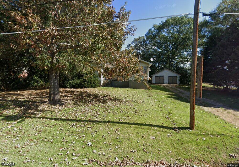
20 Sunset Dr Lagrange, GA 30240
Estimated Value: $116,000 - $175,721
3
Beds
2
Baths
1,409
Sq Ft
$113/Sq Ft
Est. Value
About This Home
This home is located at 20 Sunset Dr, Lagrange, GA 30240 and is currently estimated at $159,180, approximately $112 per square foot. 20 Sunset Dr is a home located in Troup County with nearby schools including Berta Weathersbee Elementary School, Whitesville Road Elementary School, and Long Cane Elementary School.
Ownership History
Date
Name
Owned For
Owner Type
Purchase Details
Closed on
Jul 30, 2001
Sold by
Shannon Michelle Gordy
Bought by
Gordy Barry
Current Estimated Value
Purchase Details
Closed on
Apr 18, 2000
Sold by
Secretary Of Hud
Bought by
Shannon Michelle Gordy
Purchase Details
Closed on
Jan 31, 2000
Sold by
Chase Manhatten Mortgage Corp
Bought by
Secretary Of Hud
Purchase Details
Closed on
Jan 30, 2000
Sold by
Skipper Billy J and Skipper Buffy R
Bought by
Chase Manhatten Mortgage Corp
Purchase Details
Closed on
Jul 31, 1997
Sold by
John F Bass
Bought by
Skipper Billy J and Skipper Buffy R
Purchase Details
Closed on
Jan 1, 1974
Bought by
John F Bass
Purchase Details
Closed on
Jan 1, 1967
Create a Home Valuation Report for This Property
The Home Valuation Report is an in-depth analysis detailing your home's value as well as a comparison with similar homes in the area
Purchase History
| Date | Buyer | Sale Price | Title Company |
|---|---|---|---|
| Gordy Barry | -- | -- | |
| Shannon Michelle Gordy | $38,500 | -- | |
| Secretary Of Hud | $74,800 | -- | |
| Chase Manhatten Mortgage Corp | $74,800 | -- | |
| Skipper Billy J | $64,900 | -- | |
| John F Bass | $23,300 | -- | |
| -- | -- | -- |
Source: Public Records
Tax History
| Year | Tax Paid | Tax Assessment Tax Assessment Total Assessment is a certain percentage of the fair market value that is determined by local assessors to be the total taxable value of land and additions on the property. | Land | Improvement |
|---|---|---|---|---|
| 2025 | $1,286 | $47,160 | $3,720 | $43,440 |
| 2024 | $1,120 | $41,080 | $3,720 | $37,360 |
| 2023 | $1,136 | $41,640 | $3,720 | $37,920 |
| 2022 | $1,096 | $39,280 | $3,720 | $35,560 |
| 2021 | $894 | $29,640 | $3,840 | $25,800 |
| 2020 | $894 | $29,640 | $3,840 | $25,800 |
| 2019 | $816 | $27,040 | $3,840 | $23,200 |
| 2018 | $752 | $24,920 | $3,840 | $21,080 |
| 2017 | $752 | $24,920 | $3,840 | $21,080 |
| 2016 | $745 | $24,693 | $3,840 | $20,853 |
| 2015 | $746 | $24,693 | $3,840 | $20,853 |
| 2014 | $630 | $20,808 | $3,840 | $16,968 |
| 2013 | -- | $21,808 | $3,840 | $17,968 |
Source: Public Records
Map
Nearby Homes
- 3 Reed Dr
- 0 Unit 10514554
- 120 Laurel Ridge Ave E
- 101 Crown St Unit LOT 5
- 102 Crown St Unit LOT 1
- 149 Laurel Ridge Ave E
- 134 Laurel Ridge Ave E
- 205 Grady St
- 0 Bradfield Dr Unit 10568803
- 8 Horace Carter Rd
- 608 Wilburn Ave
- 610 Wilburn Ave
- 107 Clark St
- 211 Moores Hill
- 0 Moores Hill
- 427 Fling Rd
- 202 Parker Ln
- 109 Garfield St
- 223 Pinehaven Dr
- 507 S Lee St
- 8 Sunset Dr
- 9 Terrace Dr
- 36 Sunset Dr
- 27 Sunset Dr
- 29 Terrace Dr
- 11 Sunset Dr
- 11 Sunset Dr Unit 1
- 43 Sunset Dr
- 41 Terrace Dr
- 40 Morningside Dr
- 52 Sunset Dr
- 50 Morningside Dr
- 2063 W Point Rd
- 2053 West Point Rd
- LOT 9 Morningside Dr
- 9 Morningside Dr
- 2092 W Point Rd
- 2094 W Point Rd
- 61 Sunset Dr
- 62 Morningside Dr
Your Personal Tour Guide
Ask me questions while you tour the home.