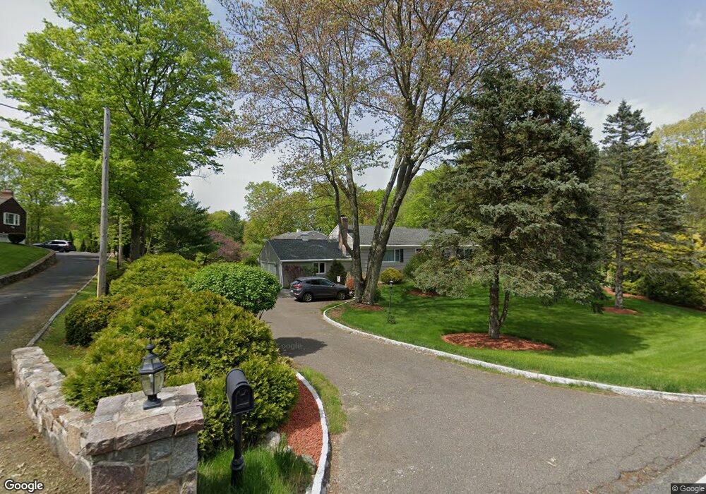
20 Tashua Rd Trumbull, CT 06611
Tashua NeighborhoodEstimated Value: $631,000 - $722,000
3
Beds
3
Baths
1,672
Sq Ft
$401/Sq Ft
Est. Value
About This Home
This home is located at 20 Tashua Rd, Trumbull, CT 06611 and is currently estimated at $670,082, approximately $400 per square foot. 20 Tashua Rd is a home located in Fairfield County with nearby schools including Tashua School, Madison Middle School, and Trumbull High School.
Ownership History
Date
Name
Owned For
Owner Type
Purchase Details
Closed on
Aug 23, 2017
Sold by
Konstantinidis Panagiotis
Bought by
Sicilliano Kala and Mccauley Erik
Current Estimated Value
Home Financials for this Owner
Home Financials are based on the most recent Mortgage that was taken out on this home.
Original Mortgage
$359,975
Outstanding Balance
$300,937
Interest Rate
4.03%
Mortgage Type
Purchase Money Mortgage
Estimated Equity
$369,145
Purchase Details
Closed on
Feb 6, 2015
Sold by
Nationstar Mortgage Ll
Bought by
Fnma
Purchase Details
Closed on
Oct 6, 2006
Sold by
Fisher Robert
Bought by
Deleo Diane T and Harvey William H
Home Financials for this Owner
Home Financials are based on the most recent Mortgage that was taken out on this home.
Original Mortgage
$417,000
Interest Rate
6.5%
Purchase Details
Closed on
Jun 2, 1999
Sold by
Fisher Ann P
Bought by
Fisher Robert
Purchase Details
Closed on
Jul 29, 1996
Sold by
Mcpadden Lillian
Bought by
Fisher Ann P
Create a Home Valuation Report for This Property
The Home Valuation Report is an in-depth analysis detailing your home's value as well as a comparison with similar homes in the area
Home Values in the Area
Average Home Value in this Area
Purchase History
| Date | Buyer | Sale Price | Title Company |
|---|---|---|---|
| Sicilliano Kala | $423,500 | -- | |
| Fnma | -- | -- | |
| Bank Of America Na | -- | -- | |
| Deleo Diane T | $558,000 | -- | |
| Fisher Robert | $180,000 | -- | |
| Fisher Ann P | $182,900 | -- |
Source: Public Records
Mortgage History
| Date | Status | Borrower | Loan Amount |
|---|---|---|---|
| Open | Fisher Ann P | $359,975 | |
| Previous Owner | Fisher Ann P | $417,000 |
Source: Public Records
Tax History
| Year | Tax Paid | Tax Assessment Tax Assessment Total Assessment is a certain percentage of the fair market value that is determined by local assessors to be the total taxable value of land and additions on the property. | Land | Improvement |
|---|---|---|---|---|
| 2025 | $10,487 | $285,390 | $140,420 | $144,970 |
| 2024 | $10,190 | $285,390 | $140,420 | $144,970 |
| 2023 | $10,028 | $285,390 | $140,420 | $144,970 |
| 2022 | $9,866 | $285,390 | $140,420 | $144,970 |
| 2021 | $8,899 | $244,720 | $118,370 | $126,350 |
| 2020 | $8,728 | $244,720 | $118,370 | $126,350 |
| 2018 | $8,532 | $244,720 | $118,370 | $126,350 |
| 2017 | $8,374 | $244,720 | $118,370 | $126,350 |
| 2016 | $8,159 | $244,720 | $118,370 | $126,350 |
| 2015 | $7,347 | $219,500 | $118,300 | $101,200 |
| 2014 | $7,191 | $219,500 | $118,300 | $101,200 |
Source: Public Records
Map
Nearby Homes
- 6716 Main St
- 102 Coventry Ln
- 3 Crescent Ln
- 37 Kitcher Ct
- 1215 Arganese Place
- 230 Fitch Pass
- 440 Pitkin Hollow
- 78 Old Tree Farm Ln
- 80 Woodlawn Rd
- 43 Limerick Rd
- 33 Ryegate Terrace
- 110 Porters Hill Rd
- 12 Fox Run Dr
- 16 Deepdene Rd
- 121 Lewis Rd
- 39 Zephyr Rd
- 145 Sherwood Rd
- 0 Main St
- 17 Moose Hill Rd
- 132 Merrimac Dr
Your Personal Tour Guide
Ask me questions while you tour the home.