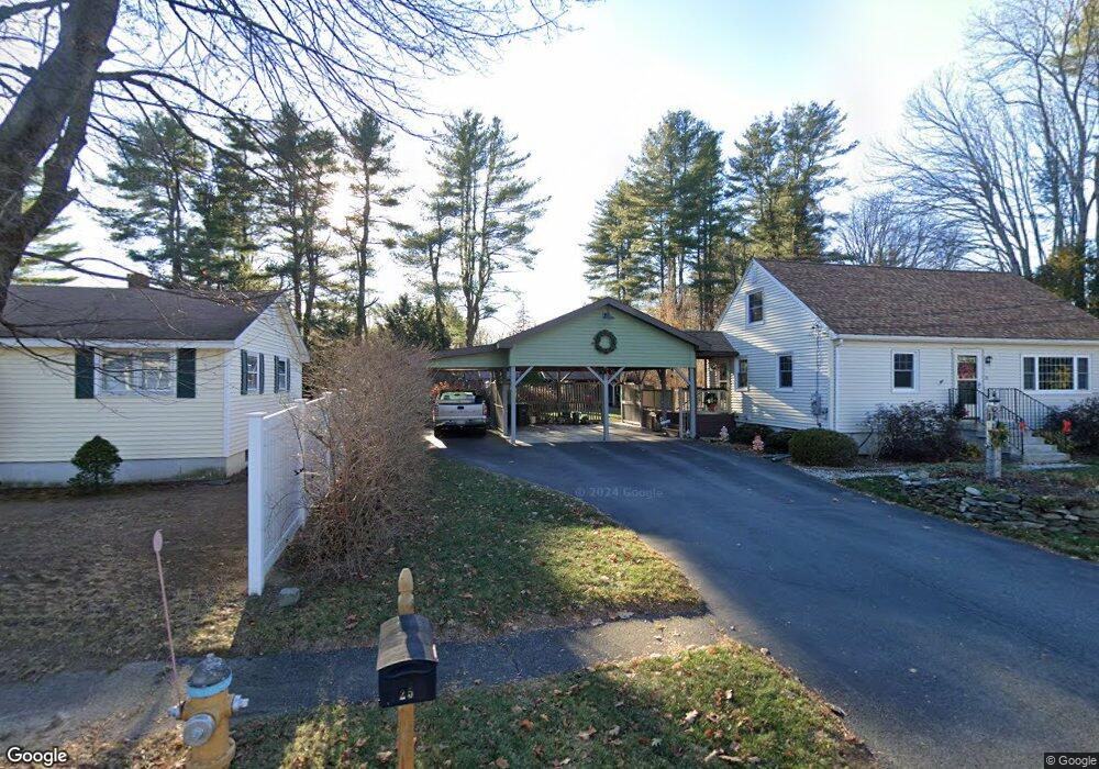
20 Temple St Westbrook, ME 04092
Estimated Value: $441,000 - $473,000
3
Beds
1
Bath
1,296
Sq Ft
$353/Sq Ft
Est. Value
About This Home
This home is located at 20 Temple St, Westbrook, ME 04092 and is currently estimated at $457,408, approximately $352 per square foot. 20 Temple St is a home located in Cumberland County with nearby schools including Westbrook High School, St. Brigid School, and Breakwater School.
Ownership History
Date
Name
Owned For
Owner Type
Purchase Details
Closed on
Sep 21, 2022
Sold by
Welch Stuart E and Welch Margaret D
Bought by
Bell Rebecca M and Bell Peter G
Current Estimated Value
Purchase Details
Closed on
Jun 15, 2011
Sold by
Knowles Gerald L
Bought by
Bell Peter G and Bell Rebecca M
Home Financials for this Owner
Home Financials are based on the most recent Mortgage that was taken out on this home.
Original Mortgage
$21,500
Interest Rate
4.74%
Mortgage Type
Purchase Money Mortgage
Create a Home Valuation Report for This Property
The Home Valuation Report is an in-depth analysis detailing your home's value as well as a comparison with similar homes in the area
Purchase History
| Date | Buyer | Sale Price | Title Company |
|---|---|---|---|
| Bell Rebecca M | $105,000 | None Available | |
| Bell Peter G | -- | -- |
Source: Public Records
Mortgage History
| Date | Status | Borrower | Loan Amount |
|---|---|---|---|
| Previous Owner | Bell Peter G | $21,500 |
Source: Public Records
Tax History
| Year | Tax Paid | Tax Assessment Tax Assessment Total Assessment is a certain percentage of the fair market value that is determined by local assessors to be the total taxable value of land and additions on the property. | Land | Improvement |
|---|---|---|---|---|
| 2023 | $4,475 | $268,300 | $87,200 | $181,100 |
| 2022 | $4,045 | $223,500 | $72,600 | $150,900 |
| 2021 | $3,985 | $223,500 | $72,600 | $150,900 |
| 2020 | $3,992 | $223,500 | $72,600 | $150,900 |
| 2019 | $3,992 | $223,500 | $72,600 | $150,900 |
| 2018 | $3,844 | $192,700 | $63,100 | $129,600 |
| 2017 | $3,638 | $192,700 | $63,100 | $129,600 |
| 2016 | $3,546 | $192,700 | $63,100 | $129,600 |
| 2015 | $3,461 | $192,700 | $63,100 | $129,600 |
| 2014 | $3,314 | $192,700 | $63,100 | $129,600 |
| 2013 | $3,314 | $192,700 | $63,100 | $129,600 |
Source: Public Records
Map
Nearby Homes
- 0 Reed St
- 7 Kasseys Way Unit 5
- 290 Bridgton Rd Unit 1
- 858 Riverside St
- 22 Collins Place Dr Unit 4
- 151 Brooks Edge Farm Rd Unit 68
- 84 Hillside Rd
- 60 Euclid Ave
- 106 Euclid Ave
- Lot TBD Epping St
- 7 Collins Place Unit 6
- 95 Lane Ave
- 171 Brook St Unit 49
- 171 Brook St Unit 44
- 171 Brook St Unit 50
- 171 Brook St Unit 52
- 171 Brook St Unit 46
- 171 Brook St Unit 41
- 171 Brook St Unit 47
- 171 Brook St Unit 54
Your Personal Tour Guide
Ask me questions while you tour the home.