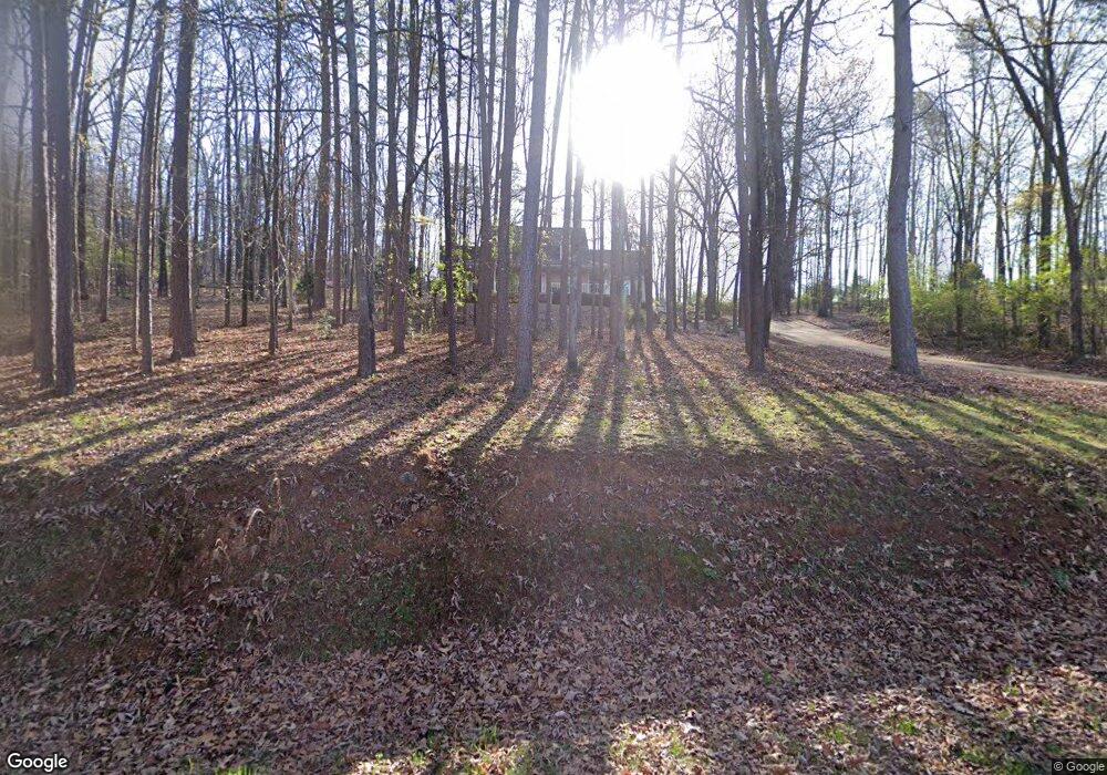
20 The Trail SE Lindale, GA 30147
Estimated Value: $336,000 - $386,000
--
Bed
1
Bath
2,445
Sq Ft
$148/Sq Ft
Est. Value
About This Home
This home is located at 20 The Trail SE, Lindale, GA 30147 and is currently estimated at $362,903, approximately $148 per square foot. 20 The Trail SE is a home located in Floyd County with nearby schools including Pepperell Middle School and Pepperell High School.
Ownership History
Date
Name
Owned For
Owner Type
Purchase Details
Closed on
Apr 2, 1999
Sold by
Winters Gene W
Bought by
Musick John and Mary Beth Musick
Current Estimated Value
Purchase Details
Closed on
Feb 14, 1997
Sold by
Winters Gene W and Mitchell Mark E
Bought by
Winters Gene W
Purchase Details
Closed on
Jun 13, 1996
Sold by
Montgomery Greg
Bought by
Winters Gene W and Mitchell Mark E
Purchase Details
Closed on
Mar 29, 1996
Sold by
Munchak Theodore J
Bought by
Montgomery Greg
Purchase Details
Closed on
Sep 30, 1995
Bought by
P and R
Purchase Details
Closed on
Jan 27, 1970
Bought by
Munchak Theodore J
Create a Home Valuation Report for This Property
The Home Valuation Report is an in-depth analysis detailing your home's value as well as a comparison with similar homes in the area
Home Values in the Area
Average Home Value in this Area
Purchase History
| Date | Buyer | Sale Price | Title Company |
|---|---|---|---|
| Musick John | $149,900 | -- | |
| Winters Gene W | -- | -- | |
| Winters Gene W | $118,000 | -- | |
| Montgomery Greg | $104,400 | -- | |
| P | -- | -- | |
| Munchak Theodore J | -- | -- |
Source: Public Records
Tax History Compared to Growth
Tax History
| Year | Tax Paid | Tax Assessment Tax Assessment Total Assessment is a certain percentage of the fair market value that is determined by local assessors to be the total taxable value of land and additions on the property. | Land | Improvement |
|---|---|---|---|---|
| 2024 | $3,017 | $129,120 | $12,936 | $116,184 |
| 2023 | $3,035 | $108,286 | $11,760 | $96,526 |
| 2022 | $2,439 | $89,214 | $9,330 | $79,884 |
| 2021 | $2,254 | $77,139 | $8,486 | $68,653 |
| 2020 | $2,192 | $73,147 | $7,379 | $65,768 |
| 2019 | $2,103 | $70,134 | $7,379 | $62,755 |
| 2018 | $2,016 | $66,674 | $7,028 | $59,646 |
| 2017 | $1,925 | $63,500 | $6,507 | $56,993 |
| 2016 | $1,920 | $62,560 | $6,480 | $56,080 |
| 2015 | $1,901 | $62,920 | $6,480 | $56,440 |
| 2014 | $1,901 | $63,128 | $6,480 | $56,648 |
Source: Public Records
Map
Nearby Homes
- 26 The Trail SE
- 0 Booze Mountain Rd Unit 10580353
- 184 Conns Lake Extension
- 407 Blackberry Ln SE
- 81 Hughes Dairy Rd
- 514 Booze Mountain Rd SE
- 27 Hughes Dairy Rd SE
- 1380 Old Cedartown Rd SE
- 792 Park Ave SE
- 185 Marion Dairy Rd SE
- 12 Indian River Rd SE
- 65 Vanns Valley Rd SW
- 612 Eden Valley Rd SE
- 0 Vanns Valley Rd SW Unit 10534224
- 0 Vanns Valley Rd SW Unit 7589183
- 305 Grove Ave SE
- 1572 Booze Mountain Rd SE
- 0 College View Dr SW Unit 7648701
- 0 College View Dr SW Unit 7645215
- 0 College View Dr SW Unit 20148725
- 22 The Trail SE
- 18 The Trail SE
- 21 The Trail SE
- 24 The Trail SE
- 23 The Trail SE
- 19 The Trail SE
- 16 The Trail SE
- 753 Booze Mountain Rd SE
- 831 Booze Mountain Rd SE
- 831 Booze Mountain Rd SE
- 831 Booze Mountain Rd SE
- 831 Booze Mountain Rd SE
- 831 Booze Mountain Rd SE
- 831 Booze Mountain Rd SE
- 831 Booze Mountain Rd SE
- 0 Pine St Unit 7036642
- 0 Pine St
- 25 The Trail SE
- 14 The Trail SE
- 27 The Trail SE