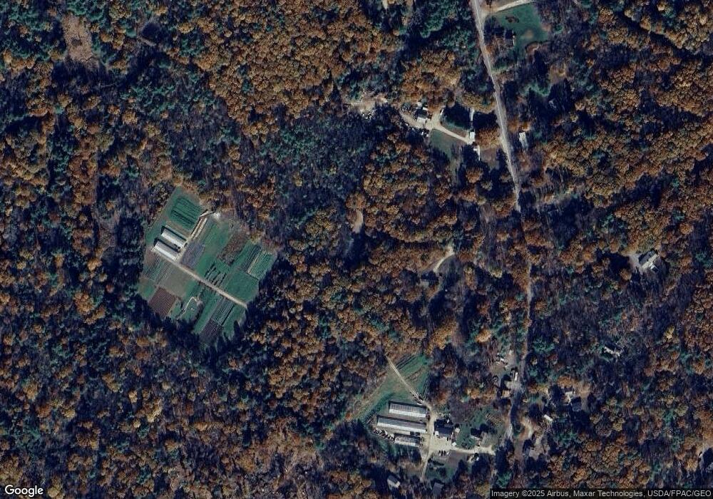
20 Trenton Place Topsham, ME 04086
Estimated Value: $540,039 - $571,000
3
Beds
2
Baths
1,900
Sq Ft
$295/Sq Ft
Est. Value
About This Home
This home is located at 20 Trenton Place, Topsham, ME 04086 and is currently estimated at $559,760, approximately $294 per square foot. 20 Trenton Place is a home located in Sagadahoc County with nearby schools including Mt Ararat High School.
Ownership History
Date
Name
Owned For
Owner Type
Purchase Details
Closed on
Jun 12, 2017
Sold by
Amorello Joseph M and Amorello Robin M
Bought by
Barton Linda L
Current Estimated Value
Purchase Details
Closed on
Apr 10, 2006
Sold by
Cole Robert K and Cole Renee M
Bought by
Amorello Joseph M and Amorello Robin M
Home Financials for this Owner
Home Financials are based on the most recent Mortgage that was taken out on this home.
Original Mortgage
$211,200
Interest Rate
6.26%
Mortgage Type
Purchase Money Mortgage
Create a Home Valuation Report for This Property
The Home Valuation Report is an in-depth analysis detailing your home's value as well as a comparison with similar homes in the area
Home Values in the Area
Average Home Value in this Area
Purchase History
| Date | Buyer | Sale Price | Title Company |
|---|---|---|---|
| Barton Linda L | -- | -- | |
| Amorello Joseph M | -- | -- |
Source: Public Records
Mortgage History
| Date | Status | Borrower | Loan Amount |
|---|---|---|---|
| Previous Owner | Amorello Joseph M | $211,200 | |
| Previous Owner | Amorello Joseph M | $39,600 |
Source: Public Records
Tax History Compared to Growth
Tax History
| Year | Tax Paid | Tax Assessment Tax Assessment Total Assessment is a certain percentage of the fair market value that is determined by local assessors to be the total taxable value of land and additions on the property. | Land | Improvement |
|---|---|---|---|---|
| 2024 | $6,526 | $522,100 | $62,600 | $459,500 |
| 2023 | $6,365 | $468,700 | $59,700 | $409,000 |
| 2022 | $5,507 | $381,900 | $57,600 | $324,300 |
| 2021 | $5,316 | $335,000 | $53,100 | $281,900 |
| 2020 | $5,340 | $299,000 | $53,100 | $245,900 |
| 2019 | $5,117 | $267,200 | $53,100 | $214,100 |
| 2018 | $4,748 | $253,500 | $47,700 | $205,800 |
| 2017 | $4,593 | $253,500 | $47,700 | $205,800 |
| 2016 | $4,483 | $249,200 | $47,700 | $201,500 |
| 2015 | $4,323 | $240,700 | $47,700 | $193,000 |
| 2014 | $4,022 | $232,100 | $47,700 | $184,400 |
| 2013 | $3,864 | $232,100 | $47,700 | $184,400 |
Source: Public Records
Map
Nearby Homes
- 428 Cathance Rd
- 75 Adams Landing Rd
- 211 Augusta Rd
- 210 Augusta Rd
- 15 Royal Oak Cir
- 2 Jasper Dr
- 47 Bradstreet Dr
- 282 Middlesex Rd
- 314 Meadow Rd
- 345 Meadow Rd
- Lot 08 Sara's Way
- 67 Tedford Rd
- 55 Munroe Ln
- 438 Meadow Rd
- 26 Union Park Rd
- 55 Somerset Place
- 71 Somerset Place
- 36 Tedford Rd
- 51 Mountain View Cir
- 38 Goldeneye Dr
- 398 Cathance Rd
- Lot 1 Cathance Rd
- Lot 2 Cathance Rd
- 365 Cathance Rd
- 17 Whatley Farm Rd
- 338 Cathance Rd
- 377 Cathance Rd
- 369 Cathance Rd
- 3425 Cathance Rd
- 3 Whatley Farm Rd
- 18 Pine Ledge Ln
- 18 Pineledge Ln
- 381 Cathance Rd
- 10 Whatley Farm Rd
- 331 Cathance Rd
- 3 Pine Ledge Ln
- 3 Pineledge Ln
- 14 Payne Rd
- 11 Periwinkle Dr
- 357 Cathance Rd
