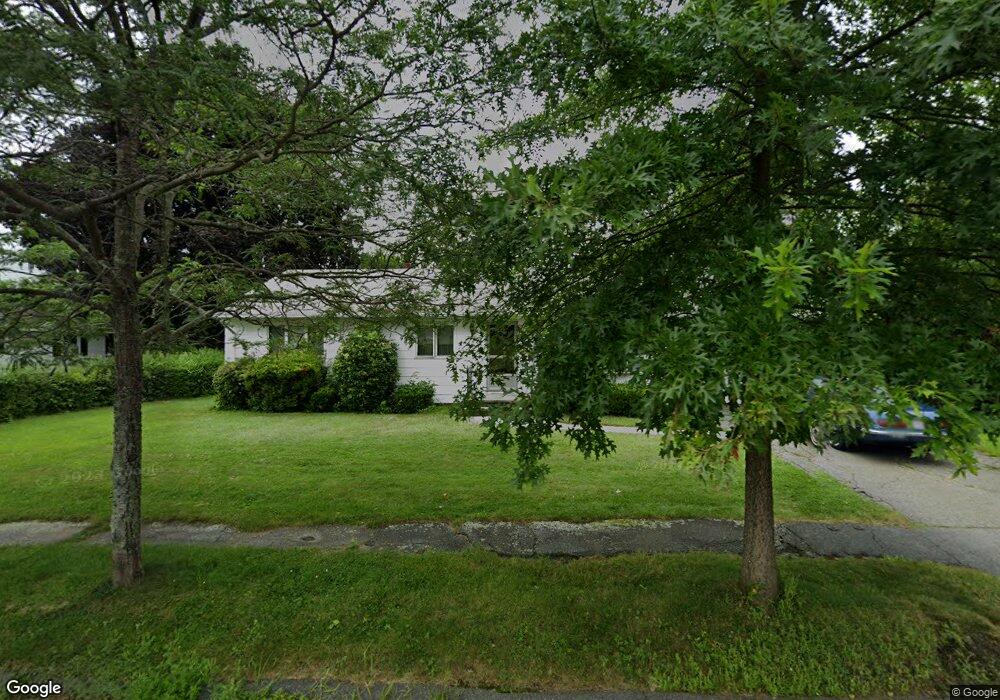
20 Tupelo Rd Worcester, MA 01606
Burncoat NeighborhoodEstimated Value: $423,599 - $492,000
3
Beds
1
Bath
1,288
Sq Ft
$360/Sq Ft
Est. Value
About This Home
This home is located at 20 Tupelo Rd, Worcester, MA 01606 and is currently estimated at $463,650, approximately $359 per square foot. 20 Tupelo Rd is a home located in Worcester County with nearby schools including Belmont Street Community School, Jacob Hiatt Magnet School, and Chandler Magnet.
Create a Home Valuation Report for This Property
The Home Valuation Report is an in-depth analysis detailing your home's value as well as a comparison with similar homes in the area
Home Values in the Area
Average Home Value in this Area
Tax History
| Year | Tax Paid | Tax Assessment Tax Assessment Total Assessment is a certain percentage of the fair market value that is determined by local assessors to be the total taxable value of land and additions on the property. | Land | Improvement |
|---|---|---|---|---|
| 2025 | $4,831 | $366,300 | $118,100 | $248,200 |
| 2024 | $4,817 | $350,300 | $118,100 | $232,200 |
| 2023 | $4,655 | $324,600 | $102,700 | $221,900 |
| 2022 | $4,117 | $270,700 | $82,200 | $188,500 |
| 2021 | $4,046 | $248,500 | $65,700 | $182,800 |
| 2020 | $3,876 | $228,000 | $65,700 | $162,300 |
| 2019 | $3,636 | $202,000 | $59,200 | $142,800 |
| 2018 | $3,517 | $186,000 | $59,200 | $126,800 |
| 2017 | $3,575 | $186,000 | $59,200 | $126,800 |
| 2016 | $3,485 | $169,100 | $43,200 | $125,900 |
| 2015 | $3,394 | $169,100 | $43,200 | $125,900 |
| 2014 | $3,304 | $169,100 | $43,200 | $125,900 |
Source: Public Records
Map
Nearby Homes
- 35 Arbutus Rd
- 53 Collins St
- 30 Danielles Way
- 66 Eunice Ave
- 30 Fales St
- 331 Burncoat St
- 13 Fatima Ln
- 323 Burncoat St
- 55 Clark St
- 58 Osceola Ave
- 183 King Philip Rd
- 10 Beale St
- 69 Santoro Rd
- 39 Whitmarsh Ave
- 71 Hillside Village Dr
- 31 Danielles Way
- 22 Danielles Way
- 26 Danielles Way
- 1110 W Boylston St Unit A
- 156 Hillside Village Dr