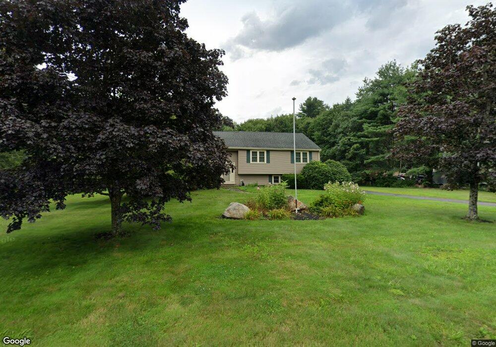
20 Vega Rd Marlborough, MA 01752
Estimated Value: $702,070 - $783,000
3
Beds
3
Baths
1,552
Sq Ft
$482/Sq Ft
Est. Value
About This Home
This home is located at 20 Vega Rd, Marlborough, MA 01752 and is currently estimated at $748,018, approximately $481 per square foot. 20 Vega Rd is a home located in Middlesex County with nearby schools including Marlborough High School and Glenhaven Academy - JRI School.
Ownership History
Date
Name
Owned For
Owner Type
Purchase Details
Closed on
Jul 28, 2008
Sold by
Warren David A and Warren Lori A
Bought by
Warren Tr David A and Warren Lori A
Current Estimated Value
Purchase Details
Closed on
Sep 14, 1998
Sold by
Bozyczko Rt and Bozyczko Frank D
Bought by
Warren David A and Warren Lori A
Home Financials for this Owner
Home Financials are based on the most recent Mortgage that was taken out on this home.
Original Mortgage
$165,000
Interest Rate
6.9%
Create a Home Valuation Report for This Property
The Home Valuation Report is an in-depth analysis detailing your home's value as well as a comparison with similar homes in the area
Home Values in the Area
Average Home Value in this Area
Purchase History
| Date | Buyer | Sale Price | Title Company |
|---|---|---|---|
| Warren Tr David A | -- | -- | |
| Warren David A | $242,500 | -- |
Source: Public Records
Mortgage History
| Date | Status | Borrower | Loan Amount |
|---|---|---|---|
| Open | Warren David A | $70,000 | |
| Previous Owner | Warren David A | $165,000 | |
| Previous Owner | Warren David A | $165,000 | |
| Previous Owner | Warren David A | $25,000 |
Source: Public Records
Tax History Compared to Growth
Tax History
| Year | Tax Paid | Tax Assessment Tax Assessment Total Assessment is a certain percentage of the fair market value that is determined by local assessors to be the total taxable value of land and additions on the property. | Land | Improvement |
|---|---|---|---|---|
| 2025 | $6,588 | $668,200 | $253,000 | $415,200 |
| 2024 | $6,447 | $629,600 | $230,100 | $399,500 |
| 2023 | $6,608 | $572,600 | $190,100 | $382,500 |
| 2022 | $6,386 | $486,700 | $181,400 | $305,300 |
| 2021 | $6,111 | $442,800 | $151,800 | $291,000 |
| 2020 | $6,002 | $423,300 | $144,800 | $278,500 |
| 2019 | $5,860 | $416,500 | $142,200 | $274,300 |
| 2018 | $23,330 | $417,200 | $131,300 | $285,900 |
| 2017 | $6,274 | $409,500 | $133,500 | $276,000 |
| 2016 | $6,208 | $404,700 | $133,500 | $271,200 |
| 2015 | $5,639 | $357,800 | $144,000 | $213,800 |
Source: Public Records
Map
Nearby Homes
- 168 Blanchette Dr
- 17 Mcneil Cir
- 57 Melody Ln
- 3 Stonehill Rd
- 33A Russo Dr
- 492 Stow Rd
- 397 Stow Rd
- 28 Stetson Dr
- 25 Knight Way
- 256 Robert Rd
- 114 Linda Cir
- 9 & 9A Abigail
- 4 Gately Ave
- 162 Ewald Ave
- 14 Old County Rd Unit 21
- 502 Hosmer St
- 10 Old County Rd Unit 19
- 1 Town Line Rd
- 1 Town Line Rd Unit 18
- 16 Abigail Dr