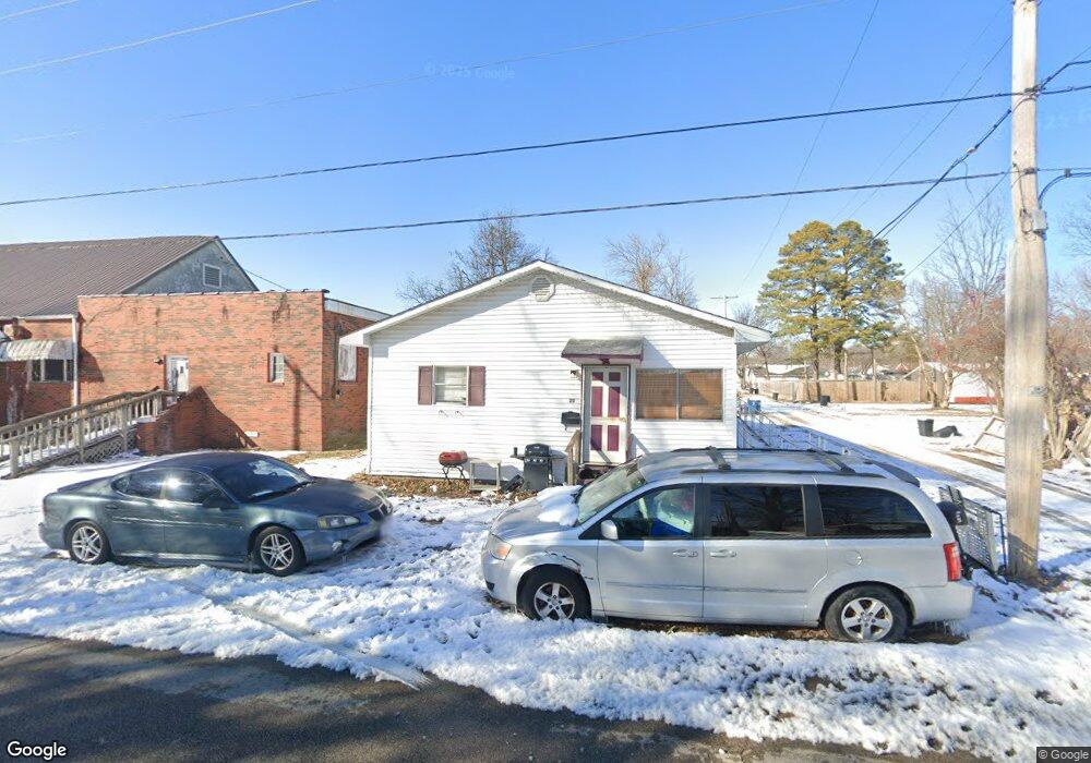
20 W Stanley St Dexter, MO 63841
Estimated Value: $57,000 - $445,000
Studio
--
Bath
3,840
Sq Ft
$65/Sq Ft
Est. Value
About This Home
This home is located at 20 W Stanley St, Dexter, MO 63841 and is currently estimated at $251,000, approximately $65 per square foot. 20 W Stanley St is a home located in Stoddard County with nearby schools including Southwest Elementary School, Central Elementary School, and T.S. Hill Middle School.
Ownership History
Date
Name
Owned For
Owner Type
Purchase Details
Closed on
Apr 25, 2022
Sold by
Swallows Charles D and Swallows Marsha K
Bought by
Battles Levi
Current Estimated Value
Home Financials for this Owner
Home Financials are based on the most recent Mortgage that was taken out on this home.
Original Mortgage
$196,500
Outstanding Balance
$101,311
Interest Rate
0.42%
Mortgage Type
Construction
Estimated Equity
$149,689
Create a Home Valuation Report for This Property
The Home Valuation Report is an in-depth analysis detailing your home's value as well as a comparison with similar homes in the area
Home Values in the Area
Average Home Value in this Area
Purchase History
| Date | Buyer | Sale Price | Title Company |
|---|---|---|---|
| Battles Levi | $245,625 | Stoddard Cnty Title & Escrow |
Source: Public Records
Mortgage History
| Date | Status | Borrower | Loan Amount |
|---|---|---|---|
| Open | Battles Levi | $196,500 |
Source: Public Records
Tax History
| Year | Tax Paid | Tax Assessment Tax Assessment Total Assessment is a certain percentage of the fair market value that is determined by local assessors to be the total taxable value of land and additions on the property. | Land | Improvement |
|---|---|---|---|---|
| 2025 | $373 | $8,873 | $0 | $0 |
| 2024 | $4 | $8,056 | $0 | $0 |
| 2023 | $372 | $8,056 | $0 | $0 |
| 2022 | $339 | $7,353 | $0 | $0 |
| 2021 | $339 | $7,353 | $0 | $0 |
| 2020 | $310 | $6,346 | $0 | $0 |
| 2019 | $310 | $6,688 | $0 | $0 |
| 2018 | $292 | $6,346 | $0 | $0 |
| 2016 | $270 | $6,061 | $0 | $0 |
| 2015 | -- | $6,061 | $0 | $0 |
| 2014 | -- | $5,814 | $0 | $0 |
| 2013 | -- | $0 | $0 | $0 |
Source: Public Records
Map
Nearby Homes
- 9 W Truitt St
- 728 N Locust St
- 723 N Elm St
- 1008 N Mulberry St
- 902 N Poplar St
- 32 Circle Dr
- 1002 Cottage Ln
- 712 W Oak St
- 125 W Saint Francis St
- 910 Carney St
- 708 N Hickory St
- 435 W Elk St
- 339 W Castor St
- 0 E Kenton Rd Unit MAR25009938
- 128 S Mulberry St
- 121 S Poplar St
- 3 S Hickory St
- 502 Chautauqua Ln
- 804 Susan St Unit A & B
- 324 Vine St
- 812 N Mulberry St
- 807 N Walnut St
- 803 N Walnut St
- 814 N Mulberry St
- 809 N Walnut St
- 9 W Stanley St
- 818 N Mulberry St
- 728 N Mulberry St
- 731 N Walnut St
- 811 N Walnut St
- 815 N Walnut St
- 822 N Mulberry St
- 803 N Mulberry St
- 817 N Walnut St
- 116 W Stanley St
- 813 N Mulberry St
- 721 N Walnut St
- 710 N Mulberry St
- 826 N Mulberry St
- 807 N Mulberry St
Your Personal Tour Guide
Ask me questions while you tour the home.