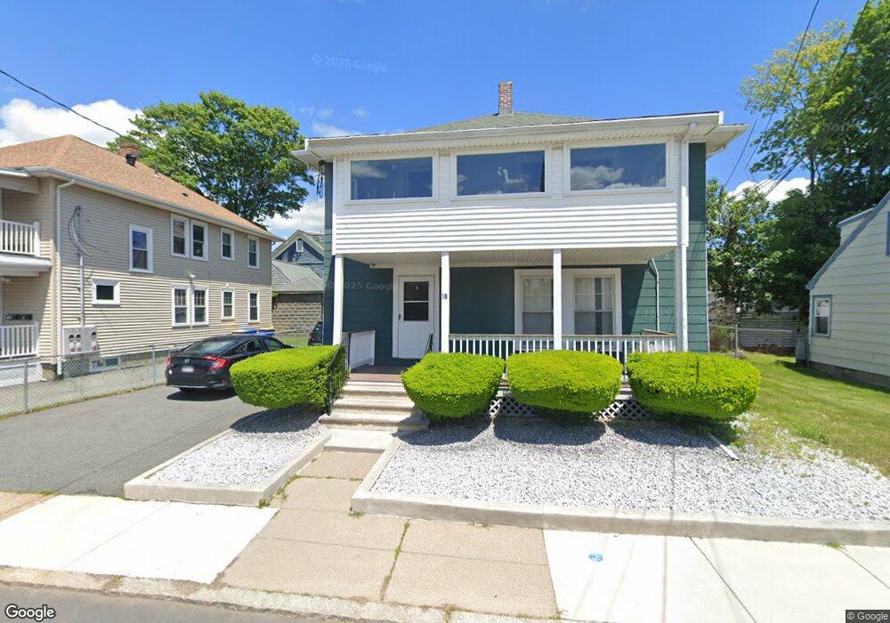
20 Wadsworth Ave Winthrop, MA 02152
Downtown Winthrop NeighborhoodEstimated Value: $732,618 - $835,000
4
Beds
2
Baths
2,100
Sq Ft
$379/Sq Ft
Est. Value
About This Home
This home is located at 20 Wadsworth Ave, Winthrop, MA 02152 and is currently estimated at $795,405, approximately $378 per square foot. 20 Wadsworth Ave is a home located in Suffolk County with nearby schools including William P. Gorman/Fort Banks Elementary School, Arthur T. Cummings Elementary School, and Winthrop Middle School.
Ownership History
Date
Name
Owned For
Owner Type
Purchase Details
Closed on
Oct 20, 2023
Sold by
Bolognese Anita
Bought by
Anita Bolognnese Irt and Bolognese
Current Estimated Value
Purchase Details
Closed on
Jan 31, 2005
Sold by
Bolognese Anita
Bought by
Anita Bolognese Ret and Bolognese
Purchase Details
Closed on
Oct 25, 2004
Sold by
Dicicco Rt
Bought by
Bolognese Anita
Create a Home Valuation Report for This Property
The Home Valuation Report is an in-depth analysis detailing your home's value as well as a comparison with similar homes in the area
Home Values in the Area
Average Home Value in this Area
Purchase History
| Date | Buyer | Sale Price | Title Company |
|---|---|---|---|
| Anita Bolognnese Irt | -- | None Available | |
| Anita Bolognnese Irt | -- | None Available | |
| Anita Bolognese Ret | -- | -- | |
| Anita Bolognese Ret | -- | -- | |
| Bolognese Anita | -- | -- | |
| Bolognese Anita | -- | -- |
Source: Public Records
Tax History Compared to Growth
Tax History
| Year | Tax Paid | Tax Assessment Tax Assessment Total Assessment is a certain percentage of the fair market value that is determined by local assessors to be the total taxable value of land and additions on the property. | Land | Improvement |
|---|---|---|---|---|
| 2025 | $6,524 | $632,200 | $322,100 | $310,100 |
| 2024 | $6,252 | $600,000 | $309,600 | $290,400 |
| 2023 | $6,354 | $593,800 | $283,400 | $310,400 |
| 2022 | $6,250 | $531,500 | $253,100 | $278,400 |
| 2021 | $6,103 | $481,300 | $226,000 | $255,300 |
| 2020 | $5,962 | $472,400 | $226,000 | $246,400 |
| 2019 | $5,852 | $444,000 | $208,300 | $235,700 |
| 2018 | $5,668 | $400,300 | $178,800 | $221,500 |
| 2017 | $5,167 | $358,600 | $158,500 | $200,100 |
| 2016 | $4,894 | $318,400 | $137,800 | $180,600 |
| 2015 | $4,355 | $303,700 | $133,800 | $169,900 |
| 2014 | $4,227 | $271,300 | $124,500 | $146,800 |
Source: Public Records
Map
Nearby Homes
- 87 Hermon St
- 174 Winthrop St Unit 2
- 34 Fremont St
- 9 Atlantic St Unit 2
- 426 Winthrop St
- 441 Winthrop St
- 3 Buckthorn Terrace Unit 2
- 10 Somerset Ave Unit 405
- 10 Somerset Ave Unit 403
- 10 Somerset Ave Unit 404
- 10 Somerset Ave Unit 408
- 10 Somerset Ave Unit 201
- 10 Somerset Ave Unit 211
- 10 Somerset Ave Unit 206
- 9 Marshall St
- 35 Somerset Ave Unit 6
- 50-52 Wilshire St
- 28 Thornton Park
- 80 Shirley St
- 279 Shirley St Unit 2
- 14 Wadsworth Ave
- 24 Wadsworth Ave
- 19 George St
- 21 Wadsworth Ave
- 15 George St Unit 2
- 15 George St Unit 1
- 15 George St Unit 2,1
- 21 George St
- 25 Wadsworth Ave
- 11 George St
- 263 Winthrop St
- 271 Winthrop St Unit 2
- 271 Winthrop St Unit 1
- 15 Wadsworth Ave
- 25 George St
- 257 Winthrop St
- 31 Wadsworth Ave
- 34 Wadsworth Ave
- 263 Winthop St
- 247 Winthrop St