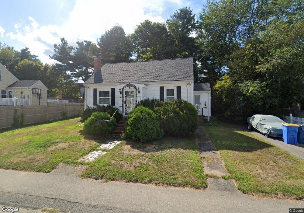
20 Webster St Randolph, MA 02368
North Randolph NeighborhoodEstimated Value: $501,000 - $542,000
2
Beds
1
Bath
1,080
Sq Ft
$474/Sq Ft
Est. Value
About This Home
This home is located at 20 Webster St, Randolph, MA 02368 and is currently estimated at $511,770, approximately $473 per square foot. 20 Webster St is a home located in Norfolk County with nearby schools including Randolph High School and Lighthouse Baptist Christian Academy.
Ownership History
Date
Name
Owned For
Owner Type
Purchase Details
Closed on
Jan 17, 2017
Sold by
Stroll Alfred E Est
Bought by
Stroll Michael E and Stroll Michael-Evan
Current Estimated Value
Purchase Details
Closed on
Jan 10, 2007
Sold by
Stroll Alfred E and Stroll Dolores
Bought by
Stroll Alfred E
Purchase Details
Closed on
Jan 31, 1996
Sold by
Brack John F
Bought by
Stroll Alfred E and Stroll Dolores
Create a Home Valuation Report for This Property
The Home Valuation Report is an in-depth analysis detailing your home's value as well as a comparison with similar homes in the area
Home Values in the Area
Average Home Value in this Area
Purchase History
| Date | Buyer | Sale Price | Title Company |
|---|---|---|---|
| Stroll Michael E | -- | -- | |
| Stroll Alfred E | -- | -- | |
| Stroll Alfred E | $97,500 | -- |
Source: Public Records
Tax History
| Year | Tax Paid | Tax Assessment Tax Assessment Total Assessment is a certain percentage of the fair market value that is determined by local assessors to be the total taxable value of land and additions on the property. | Land | Improvement |
|---|---|---|---|---|
| 2025 | $4,882 | $420,500 | $225,100 | $195,400 |
| 2024 | $4,723 | $412,500 | $220,700 | $191,800 |
| 2023 | $4,543 | $376,100 | $200,600 | $175,500 |
| 2022 | $4,525 | $332,700 | $167,100 | $165,600 |
| 2021 | $4,199 | $284,100 | $139,300 | $144,800 |
| 2020 | $4,117 | $276,100 | $139,300 | $136,800 |
| 2019 | $3,916 | $261,400 | $132,700 | $128,700 |
| 2018 | $3,825 | $240,900 | $120,600 | $120,300 |
| 2017 | $3,558 | $219,900 | $114,800 | $105,100 |
| 2016 | $3,429 | $197,200 | $104,400 | $92,800 |
| 2015 | $3,358 | $185,500 | $99,400 | $86,100 |
Source: Public Records
Map
Nearby Homes
- 875 N Main St
- 9 Royal Crest Dr Unit 12
- 72 Canton St
- 34 Orchard St
- 23 Old St
- 51 Himoor Cir
- 20 Simmonds Blvd Unit 20
- 18 Simmonds Blvd Unit 18
- 8 Simmonds Blvd Unit 8
- 22 Simmonds Blvd Unit 22
- 10 Simmonds Blvd Unit 10
- 24 Simmonds Blvd Unit 24
- 6 Simmonds Blvd Unit 6
- 591 N Main St
- 4 Franklin Square Unit 4F
- 195 High St
- 10 Michael Rd
- 43 Emily Jeffers Rd
- 54 Jasper Ln
- 16 Grove Square Unit 16
Your Personal Tour Guide
Ask me questions while you tour the home.