20 Westlook Dr Wolcott, CT 06716
Estimated Value: $426,000 - $572,000
4
Beds
3
Baths
1,152
Sq Ft
$425/Sq Ft
Est. Value
About This Home
This home is located at 20 Westlook Dr, Wolcott, CT 06716 and is currently estimated at $490,133, approximately $425 per square foot. 20 Westlook Dr is a home located in New Haven County with nearby schools including Tyrrell Middle School and Wolcott High School.
Ownership History
Date
Name
Owned For
Owner Type
Purchase Details
Closed on
Mar 29, 2010
Sold by
Janson Alan R and Janson Alice P
Bought by
Comstock Matthew and Comstock Joanne
Current Estimated Value
Home Financials for this Owner
Home Financials are based on the most recent Mortgage that was taken out on this home.
Original Mortgage
$232,000
Outstanding Balance
$153,468
Interest Rate
5.02%
Estimated Equity
$336,665
Create a Home Valuation Report for This Property
The Home Valuation Report is an in-depth analysis detailing your home's value as well as a comparison with similar homes in the area
Home Values in the Area
Average Home Value in this Area
Purchase History
| Date | Buyer | Sale Price | Title Company |
|---|---|---|---|
| Comstock Matthew | $290,000 | -- |
Source: Public Records
Mortgage History
| Date | Status | Borrower | Loan Amount |
|---|---|---|---|
| Open | Comstock Matthew | $232,000 | |
| Previous Owner | Comstock Matthew | $234,400 |
Source: Public Records
Tax History
| Year | Tax Paid | Tax Assessment Tax Assessment Total Assessment is a certain percentage of the fair market value that is determined by local assessors to be the total taxable value of land and additions on the property. | Land | Improvement |
|---|---|---|---|---|
| 2025 | $7,641 | $212,650 | $52,100 | $160,550 |
| 2024 | $7,032 | $212,650 | $52,100 | $160,550 |
| 2023 | $6,777 | $212,650 | $52,100 | $160,550 |
| 2022 | $6,550 | $212,650 | $52,100 | $160,550 |
| 2021 | $6,246 | $188,470 | $49,310 | $139,160 |
| 2020 | $6,246 | $188,470 | $49,310 | $139,160 |
| 2019 | $6,246 | $188,470 | $49,310 | $139,160 |
| 2018 | $6,069 | $188,470 | $49,310 | $139,160 |
| 2017 | $5,893 | $188,470 | $49,310 | $139,160 |
| 2016 | $5,741 | $198,590 | $52,270 | $146,320 |
| 2015 | $5,576 | $198,590 | $52,270 | $146,320 |
| 2014 | $5,396 | $198,590 | $52,270 | $146,320 |
Source: Public Records
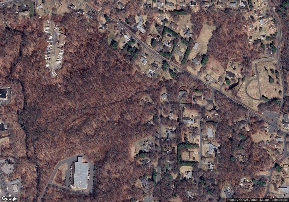
Map
Nearby Homes
- 866 Wolcott Rd
- 12 Longmeadow Dr
- 2 Park Ave Unit 3
- 1 Deer Run Dr
- 176 Brooks Hill Rd
- 65 Munson Rd
- 69 Munson Rd
- 63 Lyman Rd
- 0 Coe Rd
- 143 Bound Line Rd
- 20 Upson Rd
- 634 Bound Line Rd
- 13 Margaret Terrace
- 99 Hickory Ln
- 18 Sheraton Dr
- 128 Lyman Rd Unit 24
- 210 Munson Rd Unit 2-D
- 210 Munson Rd Unit 1-H
- 210 Munson Rd Unit 1-F
- 210 Munson Rd Unit 2-F
Your Personal Tour Guide
Ask me questions while you tour the home.