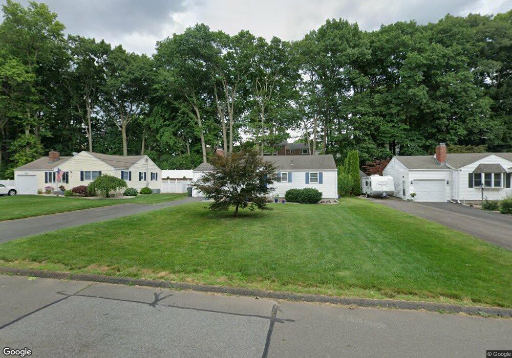
20 Westlook Rd Wethersfield, CT 06109
Estimated Value: $324,000 - $342,000
3
Beds
2
Baths
1,000
Sq Ft
$334/Sq Ft
Est. Value
About This Home
This home is located at 20 Westlook Rd, Wethersfield, CT 06109 and is currently estimated at $334,129, approximately $334 per square foot. 20 Westlook Rd is a home located in Hartford County with nearby schools including Emerson-Williams School, Silas Deane Middle School, and Wethersfield High School.
Ownership History
Date
Name
Owned For
Owner Type
Purchase Details
Closed on
Jun 29, 1998
Sold by
Mullin John J and Mullin Susan G
Bought by
Silva Maria A
Current Estimated Value
Home Financials for this Owner
Home Financials are based on the most recent Mortgage that was taken out on this home.
Original Mortgage
$50,000
Interest Rate
7.09%
Mortgage Type
Unknown
Create a Home Valuation Report for This Property
The Home Valuation Report is an in-depth analysis detailing your home's value as well as a comparison with similar homes in the area
Home Values in the Area
Average Home Value in this Area
Purchase History
| Date | Buyer | Sale Price | Title Company |
|---|---|---|---|
| Silva Maria A | $125,000 | -- |
Source: Public Records
Mortgage History
| Date | Status | Borrower | Loan Amount |
|---|---|---|---|
| Open | Silva Maria A | $115,000 | |
| Closed | Silva Maria A | $130,500 | |
| Closed | Silva Maria A | $50,000 | |
| Previous Owner | Silva Maria A | $120,000 |
Source: Public Records
Tax History
| Year | Tax Paid | Tax Assessment Tax Assessment Total Assessment is a certain percentage of the fair market value that is determined by local assessors to be the total taxable value of land and additions on the property. | Land | Improvement |
|---|---|---|---|---|
| 2025 | $8,842 | $214,500 | $98,000 | $116,500 |
| 2024 | $6,111 | $141,400 | $74,190 | $67,210 |
| 2023 | $5,908 | $141,400 | $74,190 | $67,210 |
| 2022 | $5,809 | $141,400 | $74,190 | $67,210 |
| 2021 | $5,751 | $141,400 | $74,190 | $67,210 |
| 2020 | $5,754 | $141,400 | $74,190 | $67,210 |
| 2019 | $5,761 | $141,400 | $74,190 | $67,210 |
| 2018 | $5,399 | $132,400 | $64,000 | $68,400 |
| 2017 | $5,266 | $132,400 | $64,000 | $68,400 |
| 2016 | $5,103 | $132,400 | $64,000 | $68,400 |
| 2015 | $5,056 | $132,400 | $64,000 | $68,400 |
| 2014 | $4,864 | $132,400 | $64,000 | $68,400 |
Source: Public Records
Map
Nearby Homes
- 273 Forest Dr
- 173 Timber Trail
- 295 Ridge Rd Unit 8
- 144 Brown St
- 20 Forest Dr
- 129 Goff Rd
- 55 Rutledge Rd
- 15 Potter Crossing
- 62 Schoolhouse Crossing
- 1 Bristol St
- 25 Tinsmith Crossing
- 19 Albert Ave
- 764 Ridge Rd
- 1 Brussels Ave
- 7 Barrington Dr Unit C
- 192 Wolcott Hill Rd
- 158 Dix Rd
- 146 Dudley Rd
- 208 Mountain St
- 219-221 Jordan Ln
Your Personal Tour Guide
Ask me questions while you tour the home.