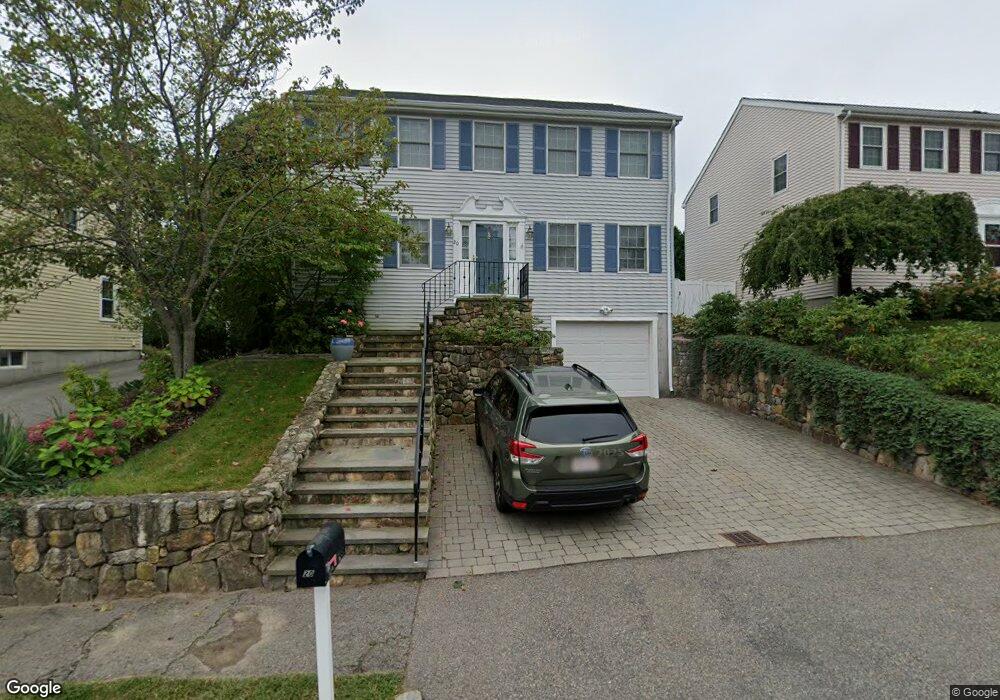
20 Wight St Waltham, MA 02452
North Waltham NeighborhoodEstimated Value: $990,590 - $1,128,000
--
Bed
3
Baths
2,040
Sq Ft
$531/Sq Ft
Est. Value
About This Home
This home is located at 20 Wight St, Waltham, MA 02452 and is currently estimated at $1,082,648, approximately $530 per square foot. 20 Wight St is a home located in Middlesex County with nearby schools including Northeast Elementary School, John F Kennedy Middle School, and Waltham Sr High School.
Ownership History
Date
Name
Owned For
Owner Type
Purchase Details
Closed on
Feb 10, 1999
Sold by
Gildea & Sons Inc
Bought by
Vitale Susan C
Current Estimated Value
Home Financials for this Owner
Home Financials are based on the most recent Mortgage that was taken out on this home.
Original Mortgage
$272,000
Outstanding Balance
$64,602
Interest Rate
6.78%
Mortgage Type
Purchase Money Mortgage
Estimated Equity
$1,018,046
Create a Home Valuation Report for This Property
The Home Valuation Report is an in-depth analysis detailing your home's value as well as a comparison with similar homes in the area
Home Values in the Area
Average Home Value in this Area
Purchase History
| Date | Buyer | Sale Price | Title Company |
|---|---|---|---|
| Vitale Susan C | $340,000 | -- |
Source: Public Records
Mortgage History
| Date | Status | Borrower | Loan Amount |
|---|---|---|---|
| Open | Vitale Susan C | $51,900 | |
| Open | Vitale Susan C | $272,000 |
Source: Public Records
Tax History Compared to Growth
Tax History
| Year | Tax Paid | Tax Assessment Tax Assessment Total Assessment is a certain percentage of the fair market value that is determined by local assessors to be the total taxable value of land and additions on the property. | Land | Improvement |
|---|---|---|---|---|
| 2025 | $8,959 | $912,300 | $411,800 | $500,500 |
| 2024 | $8,548 | $886,700 | $393,600 | $493,100 |
| 2023 | $8,440 | $817,800 | $357,100 | $460,700 |
| 2022 | $8,470 | $760,300 | $320,700 | $439,600 |
| 2021 | $8,338 | $736,600 | $320,700 | $415,900 |
| 2020 | $8,328 | $696,900 | $298,800 | $398,100 |
| 2019 | $0 | $627,900 | $295,200 | $332,700 |
| 2018 | $0 | $546,000 | $273,300 | $272,700 |
| 2017 | $6,537 | $520,500 | $247,800 | $272,700 |
| 2016 | $6,192 | $505,900 | $233,200 | $272,700 |
| 2015 | $6,071 | $462,400 | $204,100 | $258,300 |
Source: Public Records
Map
Nearby Homes
- 23 Wight St
- 65 Woburn St
- 55 Circle Dr
- 750 Trapelo Rd
- 170 Clocktower Dr Unit 5103
- 107 Clocktower Dr Unit 3302
- 87 Clocktower Dr Unit 2207
- 116 Raffaele Dr
- 70 Rosewood Dr
- 30 Jacqueline Rd Unit C
- 1105 Lexington St Unit 102
- 311 Concord Ave
- 38 Van Vechten St
- 45 Chase Rd
- 28 College Farm Rd Unit 2
- 5 April Ln Unit 12
- 30 Wampum Ave
- 14 Piedmont Ave
- 129 Lake St
- 6 Linc Cole Ln