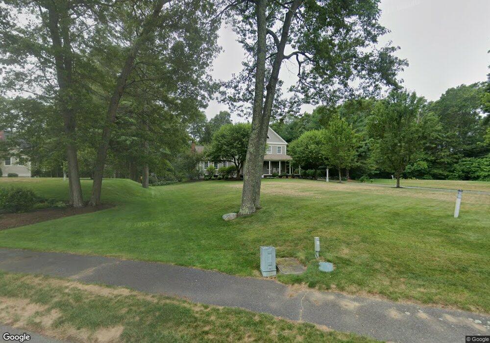
20 Wisteria Way Wrentham, MA 02093
Estimated Value: $1,054,410 - $1,290,000
4
Beds
3
Baths
3,089
Sq Ft
$372/Sq Ft
Est. Value
About This Home
This home is located at 20 Wisteria Way, Wrentham, MA 02093 and is currently estimated at $1,147,603, approximately $371 per square foot. 20 Wisteria Way is a home located in Norfolk County with nearby schools including Delaney Elementary School, Charles E Roderick, and Foxborough Regional Charter School.
Ownership History
Date
Name
Owned For
Owner Type
Purchase Details
Closed on
Jul 1, 1998
Sold by
Tri-Town Rt
Bought by
Voyager Bldg Corp
Current Estimated Value
Create a Home Valuation Report for This Property
The Home Valuation Report is an in-depth analysis detailing your home's value as well as a comparison with similar homes in the area
Home Values in the Area
Average Home Value in this Area
Purchase History
| Date | Buyer | Sale Price | Title Company |
|---|---|---|---|
| Voyager Bldg Corp | $425,000 | -- |
Source: Public Records
Mortgage History
| Date | Status | Borrower | Loan Amount |
|---|---|---|---|
| Open | Voyager Bldg Corp | $138,000 | |
| Open | Voyager Bldg Corp | $332,000 | |
| Closed | Voyager Bldg Corp | $307,500 |
Source: Public Records
Tax History Compared to Growth
Tax History
| Year | Tax Paid | Tax Assessment Tax Assessment Total Assessment is a certain percentage of the fair market value that is determined by local assessors to be the total taxable value of land and additions on the property. | Land | Improvement |
|---|---|---|---|---|
| 2025 | $12,360 | $1,066,400 | $341,500 | $724,900 |
| 2024 | $11,719 | $976,600 | $341,500 | $635,100 |
| 2023 | $11,632 | $921,700 | $310,300 | $611,400 |
| 2022 | $10,493 | $767,600 | $282,000 | $485,600 |
| 2021 | $10,250 | $728,500 | $282,000 | $446,500 |
| 2020 | $10,706 | $751,300 | $231,700 | $519,600 |
| 2019 | $10,271 | $727,400 | $231,700 | $495,700 |
| 2018 | $9,678 | $679,600 | $232,000 | $447,600 |
| 2017 | $9,442 | $662,600 | $227,500 | $435,100 |
| 2016 | $9,248 | $647,600 | $220,900 | $426,700 |
| 2015 | $9,440 | $630,200 | $212,400 | $417,800 |
| 2014 | $9,284 | $606,400 | $204,300 | $402,100 |
Source: Public Records
Map
Nearby Homes
- 25 Foxboro Rd
- 11 Goodwin Dr
- 7 Hill St Unit 10
- 65 Pond St
- 71 Pond St
- 362 East St
- 1 Lorraine Metcalf Dr
- 270 Dedham St
- 10 W Birch Rd
- 483 Thurston St
- 0 W Birch Rd
- 375 Winter St
- 3 Oak Rd
- 16R Eldor Dr
- 11 Orchard Place Unit 11
- 120 Hawes St
- 14 Baker St
- 10 Nature View Dr
- 15 Nature View Dr
- 246 Forest Grove Ave