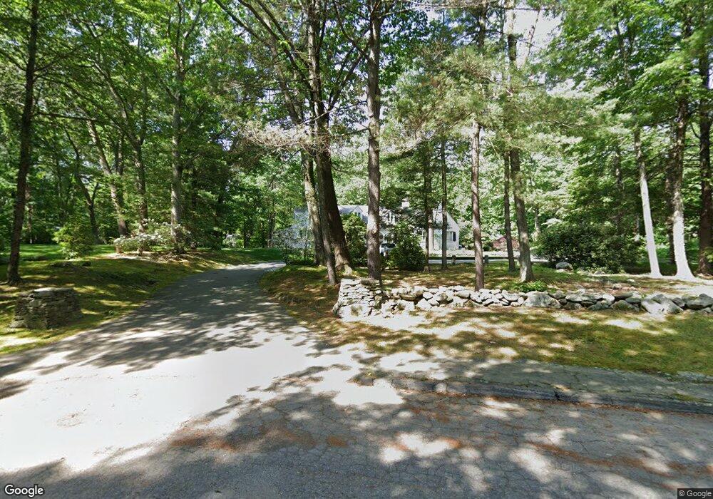
20 Woodhaven Ln Worcester, MA 01609
Salisbury Street NeighborhoodEstimated Value: $1,086,000 - $1,738,000
5
Beds
4
Baths
4,908
Sq Ft
$268/Sq Ft
Est. Value
About This Home
This home is located at 20 Woodhaven Ln, Worcester, MA 01609 and is currently estimated at $1,315,150, approximately $267 per square foot. 20 Woodhaven Ln is a home located in Worcester County with nearby schools including Chandler Magnet, Jacob Hiatt Magnet School, and Flagg Street School.
Ownership History
Date
Name
Owned For
Owner Type
Purchase Details
Closed on
Jan 22, 2003
Sold by
Washington Trust
Bought by
Tonna George K
Current Estimated Value
Purchase Details
Closed on
Sep 30, 2002
Sold by
Clark University
Bought by
Washington T
Purchase Details
Closed on
Mar 13, 2002
Sold by
Kraft Robert and Kraft Myra
Bought by
Clark University
Create a Home Valuation Report for This Property
The Home Valuation Report is an in-depth analysis detailing your home's value as well as a comparison with similar homes in the area
Home Values in the Area
Average Home Value in this Area
Purchase History
| Date | Buyer | Sale Price | Title Company |
|---|---|---|---|
| Tonna George K | $925,000 | -- | |
| Washington T | $900,000 | -- | |
| Clark University | $1,300,000 | -- |
Source: Public Records
Tax History Compared to Growth
Tax History
| Year | Tax Paid | Tax Assessment Tax Assessment Total Assessment is a certain percentage of the fair market value that is determined by local assessors to be the total taxable value of land and additions on the property. | Land | Improvement |
|---|---|---|---|---|
| 2025 | $13,553 | $1,027,500 | $141,600 | $885,900 |
| 2024 | $13,078 | $951,100 | $141,600 | $809,500 |
| 2023 | $12,727 | $887,500 | $123,000 | $764,500 |
| 2022 | $11,937 | $784,800 | $101,300 | $683,500 |
| 2021 | $12,308 | $756,000 | $84,100 | $671,900 |
| 2020 | $12,320 | $724,700 | $83,800 | $640,900 |
| 2019 | $12,341 | $685,600 | $84,000 | $601,600 |
| 2018 | $12,261 | $648,400 | $84,000 | $564,400 |
| 2017 | $12,155 | $632,400 | $84,000 | $548,400 |
| 2016 | $13,063 | $633,800 | $74,700 | $559,100 |
| 2015 | $12,720 | $633,800 | $74,700 | $559,100 |
| 2014 | $12,384 | $633,800 | $74,700 | $559,100 |
Source: Public Records
Map
Nearby Homes
- 7 Old Brook Dr
- 2 Baiting Brook Ln Unit 71
- 3 Old English Rd
- 32 Aylesbury Rd
- 33 Aylesbury Rd
- 617 Salisbury St
- 17 Orrison St
- 9 Dennison Rd
- 3 Lynnwood Ln
- 5 Forest Hill Dr
- 477 Salisbury St
- 3 Carter Way
- 40 Walter St
- 22 Audubon Rd
- 66 Brigham Rd
- 137 Richmond Ave
- 12 Merlin Ct
- 8 Old Colony Rd
- 40 Westwood Dr
- 90 Lynnwood Ln
- Lot A Woodhaven Ln
- 9 Old Brook Dr
- 11 Old Brook Dr
- 13 Old Brook Dr
- 62 Oak Hill Rd
- 64 Oak Hill Rd
- 60 Oak Hill Rd
- 25 Woodhaven Ln
- 3 Old Brook Dr
- 3 Old Brook Dr Unit 1
- 56 Oak Hill Rd
- 12 Old Brook Dr
- 90 Aylesbury Rd
- 8 Old Brook Dr
- 0000 Restaurant Row
- 4 Flower Hill Dr
- 6 Old Brook Dr
- 101 Aylesbury Rd
- 141 & 143 Brigham Rd
- 0 Sdf Unit 71223004