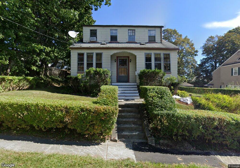
20 Wyola Dr Worcester, MA 01603
Webster Square NeighborhoodEstimated Value: $419,272 - $640,000
6
Beds
2
Baths
2,112
Sq Ft
$256/Sq Ft
Est. Value
About This Home
This home is located at 20 Wyola Dr, Worcester, MA 01603 and is currently estimated at $541,068, approximately $256 per square foot. 20 Wyola Dr is a home located in Worcester County with nearby schools including Gates Lane, Jacob Hiatt Magnet School, and Chandler Magnet.
Create a Home Valuation Report for This Property
The Home Valuation Report is an in-depth analysis detailing your home's value as well as a comparison with similar homes in the area
Home Values in the Area
Average Home Value in this Area
Tax History Compared to Growth
Tax History
| Year | Tax Paid | Tax Assessment Tax Assessment Total Assessment is a certain percentage of the fair market value that is determined by local assessors to be the total taxable value of land and additions on the property. | Land | Improvement |
|---|---|---|---|---|
| 2025 | $4,495 | $340,800 | $97,700 | $243,100 |
| 2024 | $4,401 | $320,100 | $97,700 | $222,400 |
| 2023 | $4,014 | $279,900 | $85,000 | $194,900 |
| 2022 | $3,999 | $262,900 | $68,000 | $194,900 |
| 2021 | $3,471 | $213,200 | $54,400 | $158,800 |
| 2020 | $3,058 | $179,900 | $54,000 | $125,900 |
| 2019 | $3,019 | $167,700 | $47,100 | $120,600 |
| 2018 | $3,113 | $164,600 | $47,100 | $117,500 |
| 2017 | $3,131 | $162,900 | $47,100 | $115,800 |
| 2016 | $2,980 | $144,600 | $33,300 | $111,300 |
| 2015 | $2,902 | $144,600 | $33,300 | $111,300 |
| 2014 | $2,825 | $144,600 | $33,300 | $111,300 |
Source: Public Records
Map
Nearby Homes
- 19 Monticello Dr
- 68 Crest Cir
- 45 Wildwood Ave
- 28 Baker St
- 76 Parsons Hill Dr Unit A
- 57 1st St
- 23 Lakewood St
- 16 Ward Farm Cir
- 40 Lakewood St
- 47 4th St
- 45 Fourth St
- 45 Fourth St Unit Right
- 13 Merchant St
- 114 Henshaw St
- 21 Healy Rd
- 170 Stafford St
- 41 Ledgecrest Dr
- 35 Genessee St Unit I
- 5 Swan Ave
- 24 Ludlow St